



A Landscape Built for Disaster
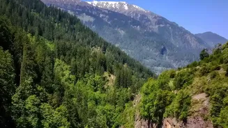
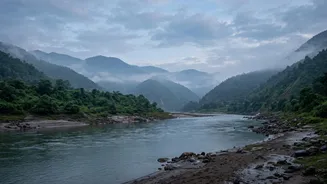
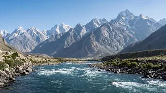
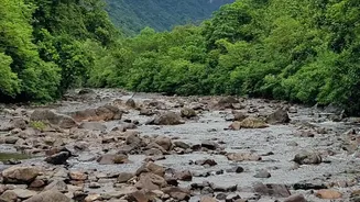
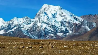
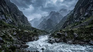
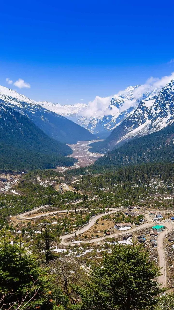
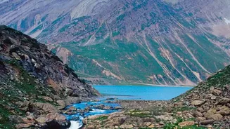
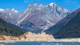
Nepal's geography is a primary culprit. The country's dramatic topography, from the high Himalayas to the southern plains, creates a perfect storm for flash floods. Steep, rugged mountainsides mean that when intense rain falls, water doesn't soak into
the ground; it runs off almost instantly, gathering speed and volume as it rushes into narrow river valleys. This terrain causes rivers to swell with incredible speed. Furthermore, the geology of the Himalayas is young and unstable. Landslides, often triggered by heavy rain or earthquakes, can dump enormous quantities of rock and debris into rivers. This material can form temporary dams. When these natural dams inevitably break, they release a catastrophic wall of water and debris downstream, a phenomenon far more destructive than a rain-fed flood alone.
The Challenge of Cascading Hazards
Flash floods in Nepal are rarely caused by a single factor like rainfall. Instead, they are often the result of 'cascading hazards'—a chain reaction where one event triggers another. A recent disaster in the Bhote Koshi-Trishuli river system illustrated this perfectly. Experts believe a massive section of a glacier collapsed high in the mountains, triggering a rock and ice avalanche. This avalanche then slammed into a river, possibly blocking it temporarily before releasing a devastating flood surge that was not preceded by heavy rain. These complex events, sometimes originating from Glacial Lake Outburst Floods (GLOFs), are incredibly difficult to predict with conventional weather-based models, which are primarily designed to forecast rain-induced flooding.
A Scarcity of Real-Time Data
Effective forecasting requires a dense network of monitoring stations providing real-time data on rainfall, river levels, and snowpack. In Nepal, this network is sparse, especially in the remote, high-altitude areas where many flash floods originate. Many river catchments lack any measuring stations at all. This data gap means that the Department of Hydrology and Meteorology (DHM), the agency responsible for forecasts, often works with an incomplete picture. While efforts are being made to use satellite data to estimate rainfall, these methods can still underestimate the intense, localized downpours that trigger flash floods in the Himalayas.
The Transboundary Blind Spot
Many of Nepal's major river systems, including the Koshi and Karnali, originate in the Tibetan Plateau in China. This means that a hazard, whether it's a GLOF or a landslide-dammed river, can develop in China and become a full-blown disaster by the time it crosses the border into Nepal. Despite past agreements to improve data sharing, Nepal often receives no timely information from Chinese authorities about upstream conditions. A recent catastrophic flood in Rasuwa on August 26, 2026, highlighted this failure; Nepali officials were unaware of the flood until after it had already crossed the border and caused significant damage, wiping out several monitoring stations in the process. Without real-time cross-border communication, a crucial window for early warning is lost.
Reaching the Last Mile
Even when a warning is generated, disseminating it effectively is another major hurdle. Nepal has made progress with community-based early warning systems, which use a combination of SMS alerts, sirens, and local volunteers to spread the word. These systems have been credited with reducing casualties in some areas. However, their reach is not universal, and many systems remain fragmented or project-based. In remote valleys with limited mobile connectivity and infrastructure, getting a warning to vulnerable communities in time for them to evacuate remains a significant challenge. The sheer speed of some floods, especially in steep valleys, can mean that even a timely alert provides only minutes for people to react.