






A Record-Breaking Fever in the Pacific
Scientists are watching an extraordinary event unfold in the tropical Pacific Ocean. For the first time in modern records, the sea surface temperature in the Niño 3.4 region—a crucial strip of the ocean used to monitor global climate phenomena—has surpassed
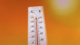
30 degrees Celsius. This area, located in the central and eastern equatorial Pacific, is the primary barometer for the El Niño-Southern Oscillation (ENSO) cycle. While temperatures above 30°C are normal in the very warm waters of the western Pacific, seeing such heat this far east is unprecedented and indicates an exceptionally strong warming event. This heat spike is not just a statistical curiosity; it represents a massive amount of energy being stored in the upper ocean, ready to be released into the atmosphere and disrupt weather systems worldwide.
The Ocean's Climate Switch: A Super El Niño
This dramatic warming is the hallmark of a powerful El Niño. El Niño is the warm phase of the ENSO cycle, occurring when trade winds weaken, allowing the vast pool of warm water normally situated in the western Pacific to surge eastward towards South America. This shift fundamentally alters the exchange of heat between the ocean and the atmosphere. An El Niño is officially declared when temperatures in the Niño 3.4 region are at least 0.5°C above average for several months, but the current readings show anomalies far exceeding that, with some forecasts projecting a peak of over 3.5°C above normal. This puts the current event firmly in the 'Super El Niño' category, rivaling or even exceeding the most intense events on record, such as those in 1997-98 and 2015-16.
Ripples Across the Globe
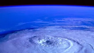
A Super El Niño in the Pacific doesn't stay in the Pacific. The massive release of heat into the atmosphere changes major air circulation patterns, creating a domino effect across continents. Historically, strong El Niño events have been linked to a variety of extreme weather phenomena. These can include intense flooding in parts of South and North America, severe droughts in Indonesia and Australia, and a quieter Atlantic hurricane season. It also temporarily boosts the global average temperature, layering natural variability on top of the long-term trend of human-caused climate change and pushing global heat records even higher. With the current El Niño already considered one of the strongest on record before its expected peak in late 2026, forecasters are on high alert for widespread and significant weather disruptions into 2027.
What This Means for India's Weather
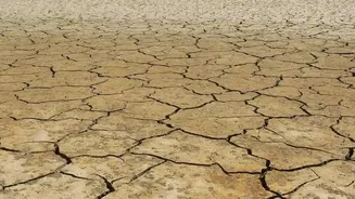
For India, a strong El Niño is a major cause for concern, primarily due to its well-documented impact on the summer monsoon. There is a strong correlation between El Niño years and deficient monsoon rainfall. A weaker monsoon can lead to drought-like conditions, threatening agriculture, which is the backbone of the Indian economy and the livelihood for a majority of its population. However, the impact is not always straightforward. While the overall rainfall total may decrease, some studies show that El Niño can paradoxically increase the frequency of extreme rainfall events in certain areas. The impact also extends to winter. Strong El Niño events are often associated with warmer-than-average winters across much of India. At the same time, it can alter the behaviour of 'western disturbances', potentially bringing more rain and snow to northwestern India during the winter months.
An Unpredictable Future
Climate scientists are now watching to see just how intense this Super El Niño will become and how its impacts will unfold. The event is occurring in a world already warmed by climate change, which can amplify its effects and make historical comparisons difficult. The record-breaking temperatures in the Pacific are a clear signal that the planet's climate system is under immense strain. While phenomena like El Niño are natural, their occurrence in an increasingly warm ocean raises the risk of more extreme and unpredictable weather. For India, this means preparing for a future where both drought and intense downpours become more common, challenging water management, agriculture, and public safety. The coming months will be critical for observing how this powerful climate event evolves and reshapes our weather.