





The Climate Change Conundrum
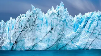
The primary driver behind many of these catastrophic events is climate change. The Himalayas are warming at a rate significantly faster than the global average. This accelerated warming is causing glaciers to retreat and thin at an alarming pace, with
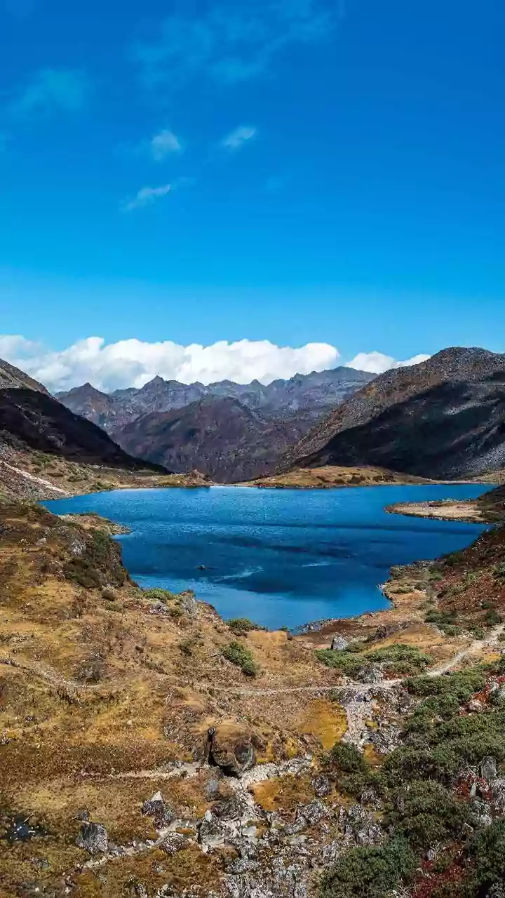
studies indicating the rate of ice loss has doubled since the year 2000. As these ancient rivers of ice melt, they leave behind massive lakes, often held in place by nothing more than unstable walls of loose rock and soil known as moraines. These formations are incredibly fragile. A landslide, an avalanche of rock or ice, or even just the pressure of accumulating water can cause these natural dams to burst. The result is a Glacial Lake Outburst Flood, or GLOF, a sudden and violent release of millions of cubic metres of water and debris that scours valleys and destroys everything downstream.
A Land in Constant Motion
Compounding the threat from melting ice is the very ground beneath Nepal. The Himalayas are the world's youngest and most geologically active mountain range, formed by the ongoing collision of the Indian and Eurasian tectonic plates. This constant geological stress makes the steep terrain inherently unstable and prone to landslides. Earthquakes can trigger thousands of landslides in an instant, but even without a major tremor, the combination of fragile geology and intense monsoon rains creates a persistent hazard. Furthermore, warming temperatures are causing permafrost—perennially frozen ground that acts like a glue holding mountainsides together—to thaw. This weakens rock faces and slopes, increasing the frequency of rockfalls and debris flows that can either directly strike infrastructure or dam rivers, creating the conditions for a subsequent flash flood.
The Hydropower Paradox
For Nepal, a nation rich in fast-flowing rivers, hydropower is the backbone of the economy and a key to its development goals. The country has been rapidly building dams to harness this energy potential. However, this critical infrastructure is often a paradox: it is built along the very river channels that serve as conduits for these destructive surges. Many of Nepal’s hydropower facilities are 'run-of-the-river' projects, which are built directly in the river's path without a large reservoir, making them exceptionally vulnerable to sudden, high-volume floods carrying rock and sediment. Recent catastrophic floods have repeatedly damaged or destroyed multiple hydropower plants, wiping out significant portions of the country's energy infrastructure in a matter of hours and jeopardizing billions in investment.
Lifelines on the Brink
It isn't just power plants at risk. The roads and bridges that snake through Nepal's mountain valleys are vital economic lifelines, connecting remote communities and facilitating trade, including with its northern neighbour, China. These lifelines are perilously exposed. Recent events have seen dozens of bridges and kilometres of highway washed away, severing transport links for long periods. When these routes are destroyed, communities are not only cut off from aid and supplies but also from economic activity. The repeated destruction requires immense and costly rebuilding efforts, draining resources that could otherwise be used for further development. This cycle of construction and destruction traps mountain regions in a state of perpetual vulnerability.
A Danger That Crosses Borders
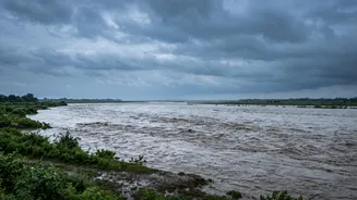
The threat posed by these Himalayan surges does not stop at Nepal's borders. The major river systems, such as the Bhote Koshi and Trishuli, are part of larger hydrological basins that flow downstream into India. A major flood event in Nepal can send a devastating pulse of water into the Gandak river, threatening communities and farmland in the densely populated plains of Bihar and Uttar Pradesh. This shared vulnerability highlights the urgent need for transboundary cooperation. Experts argue that effective disaster resilience in the Himalayas will require a coordinated effort between Nepal, India, and China, involving shared data from satellite monitoring, glacier assessments, and river-level sensors to create a more robust early warning system.