

How a River Becomes a Reservoir
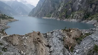
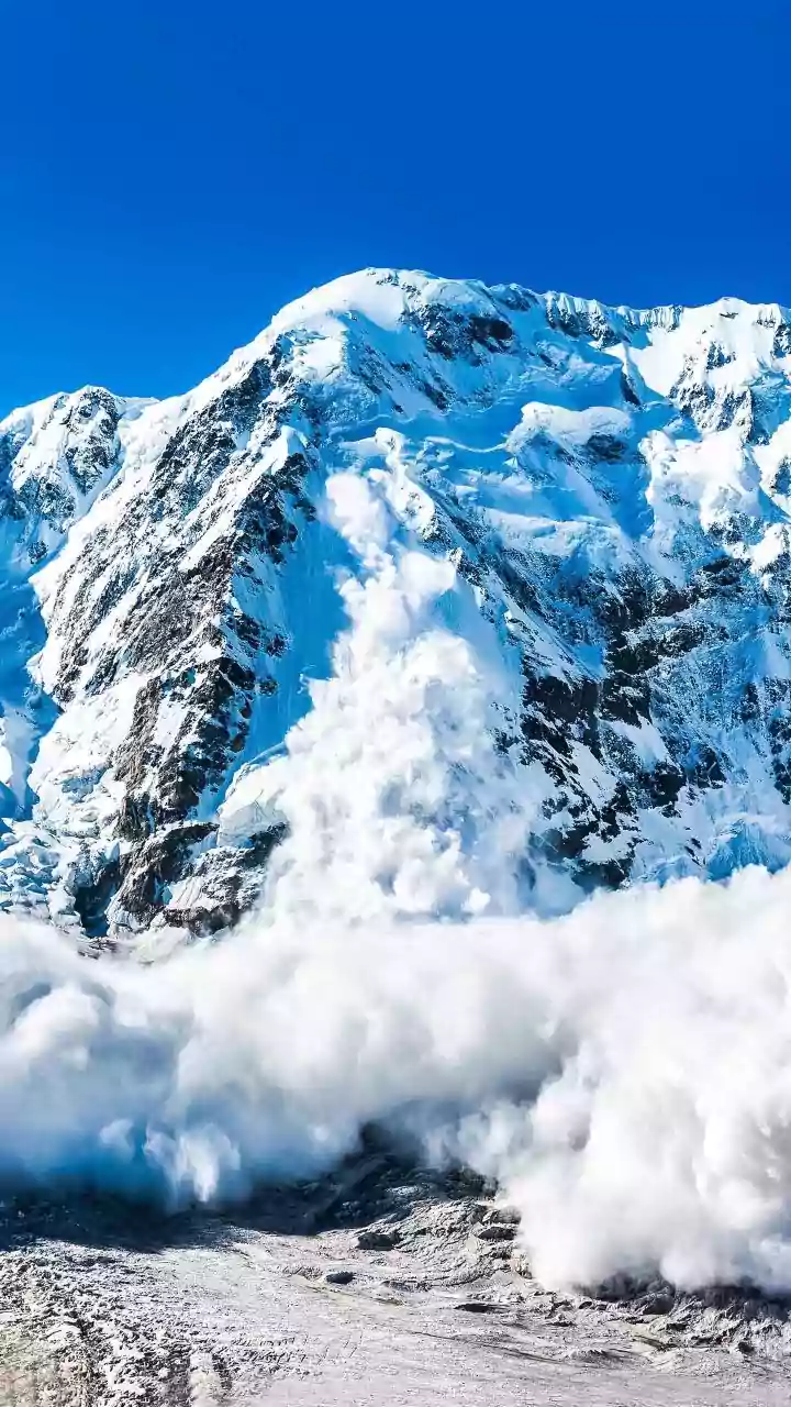
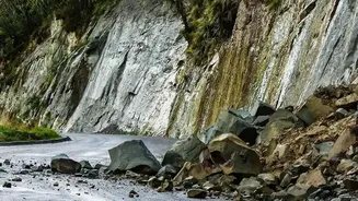
These events often begin with a massive landslide or, as seen in the catastrophic incident of August 26, 2026, a huge chunk of a glacier breaking off. This colossal volume of rock, ice, and debris thunders down a steep mountain valley and can choke a river,
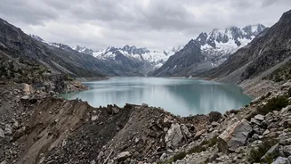
forming what is known as a landslide dam or a moraine dam. Unlike engineered concrete dams, these natural barriers are inherently unstable. They are a jumble of loose material, and the water that collects behind them creates immense pressure. In the recent Nepal disaster, an ice-rock avalanche on the Tibet border blocked the Lhende Khola, a tributary of the Bhote Koshi-Trishuli river system, creating a temporary lake that grew dangerously large before it breached.
The Threat of an Outburst Flood
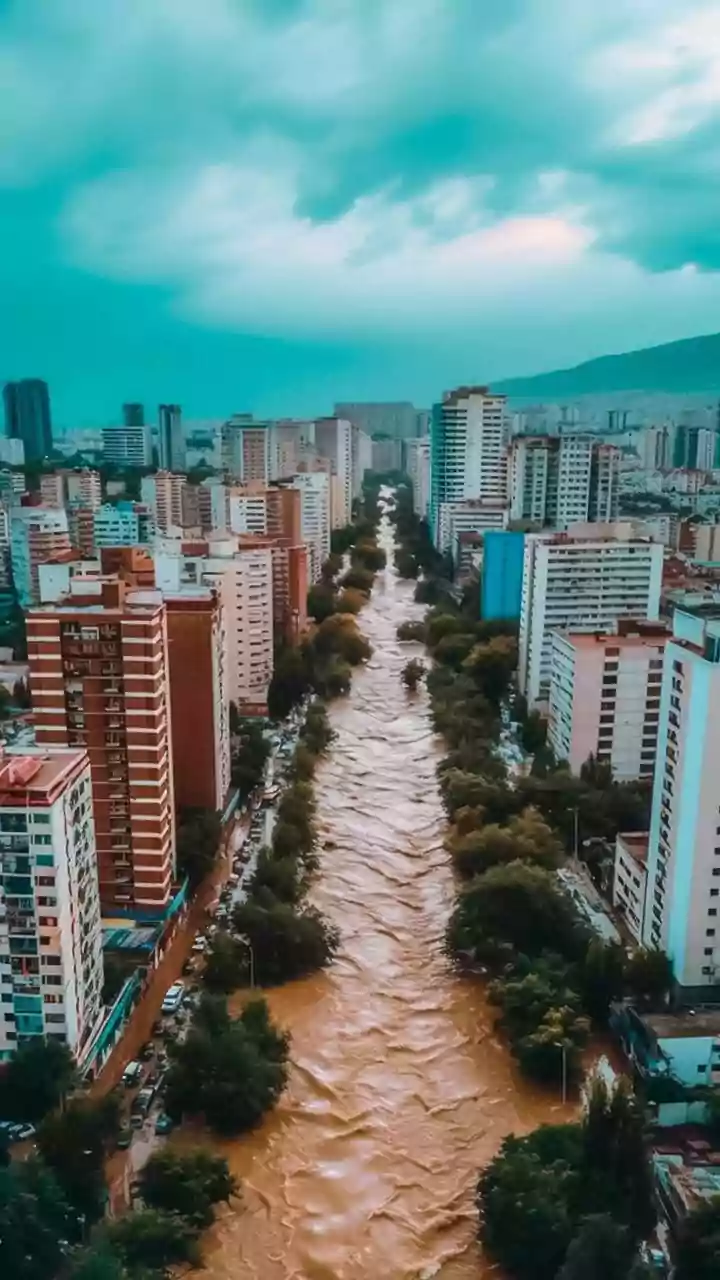
The primary danger from a natural dam is its potential to fail suddenly and catastrophically. This can happen through overtopping, where the rising water simply flows over the top and rapidly erodes the dam, or a complete structural collapse. The result is a Glacial Lake Outburst Flood (GLOF), a terrifying wall of water, mud, and boulders that moves downstream with incredible speed and destructive force. During the August 2026 event in Nepal, the Trishuli River rose by as much as nine metres in just 30 minutes at one monitoring station, sweeping away bridges, roads, and entire settlements. This illustrates the immense power unleashed when a natural dam gives way, leaving little to no time for evacuation.
Why This Matters for India
The geography of the Himalayas means that disasters in Nepal do not respect international borders. Major rivers like the Bhote Koshi-Trishuli flow south from the high mountains, eventually becoming the Narayani-Gandak river system that enters India. This river system flows directly into the densely populated plains of Bihar and eastern Uttar Pradesh. A dam breach in Nepal can, therefore, send a surge of floodwater into Indian districts like West Champaran, East Champaran, Gopalganj, Siwan, Maharajganj, and Kushinagar. Following the recent Nepal disaster, Indian authorities immediately issued flood warnings and began closely monitoring river levels at barrages like the one at Valmikinagar in Bihar, bracing for the downstream impact.
A Symptom of a Warming World
While landslides and GLOFs are natural phenomena, their frequency and intensity are increasing, a trend scientists link directly to climate change. As global temperatures rise, Himalayan glaciers are melting at an accelerated rate, and the permafrost that holds mountainsides together is thawing. This makes the slopes more unstable and prone to collapse. Studies show the number of potentially dangerous glacial lakes is growing, and the rate of GLOF incidents in the Hindu Kush Himalayas has risen significantly since the mid-20th century. The recent disaster in Nepal is seen not as a freak accident, but as a stark warning of the cascading hazards in a rapidly warming mountain environment.
Racing Against the Flow
Responding to these threats requires immense cross-border cooperation. In the immediate aftermath of a dam formation, authorities in Nepal and China share satellite imagery and data to assess the risk. This information is critical for downstream nations like India to prepare. Early warning systems are activated, and communities in the potential flood path are alerted to evacuate. However, the speed of these events often overwhelms response efforts. The August 2026 tragedy has intensified calls for a more robust, real-time data-sharing agreement between China, Nepal, and India, covering everything from glacier movements to river levels, to move from simply reacting to disasters to anticipating them.