






A Planet on High Alert
From the forests of North America to the grasslands of Australia, wildfires are no longer a seasonal concern but a year-round threat. Climate change has created warmer, drier conditions, turning vast landscapes into tinderboxes. For firefighters and emergency
managers, the biggest challenge is time. A small, manageable blaze can explode into an uncontrollable inferno within minutes. Traditional detection methods, like ground-based watchtowers and aerial patrols, are vital but have limitations. They can be expensive, labour-intensive, and their line of sight can be obstructed by terrain or heavy smoke. Existing satellites can spot large fires, but they often weren't designed for this specific purpose, meaning they may lack the resolution or revisit the same spot too infrequently to catch a fire in its infancy.
Introducing the FireSat Constellation
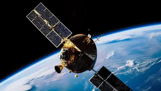
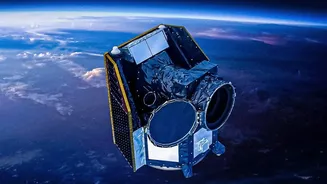
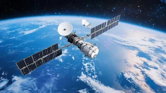
Enter FireSat, a purpose-built satellite constellation designed specifically to hunt for wildfires. This isn't a single satellite but a planned network of more than 50 spacecraft working in concert. The project is a collaboration between several organizations, including the nonprofit Earth Fire Alliance, space systems company Muon Space, and with support from partners like Google. The first prototype satellite, called Protoflight, was launched in March 2025 to test the system. It has already proven its capability by detecting small fires that other satellite systems missed. Following this success, the first three operational FireSat satellites were launched in the summer of 2026, marking the official transition to an operational service.
How It Sees Through the Smoke
The magic behind FireSat lies in its advanced sensors. Each satellite is equipped with a six-channel multispectral infrared payload. In simple terms, these are sophisticated thermal cameras that don't see light but rather detect heat. This allows them to spot the intense infrared radiation emitted by a fire, even a very small one, day or night. Because they detect heat signatures, they can effectively 'see' through smoke that would blind a normal camera, giving a clear view of the fire's core. This technology is sensitive enough to detect a heat source as small as five by five metres — roughly the size of a large car. This level of precision is a game-changer for early detection.
Smarter, Faster Alerts with AI
Detecting heat is only half the battle; you also have to know if it's actually a fire. FireSat incorporates artificial intelligence to analyze the data it collects. The system compares the current thermal image of a location with thousands of previous images, taking into account factors like weather conditions to avoid false alarms from other heat sources. When the AI determines with high confidence that a new wildfire has ignited, an alert can be sent to emergency responders on the ground in near real-time. The ultimate goal for the full constellation is to scan every point on Earth every 20 minutes, ensuring that no fire goes undetected for long.
The Road Ahead
With the first operational satellites now in orbit, the FireSat mission is entering a crucial phase. The data will begin flowing to fire agencies for use in real-world scenarios. Building out the full constellation of over 50 satellites will take time and significant investment, with a target of providing hourly global revisits by 2029. The collaboration between non-profits, private tech companies, and government agencies is essential to making this ambitious project a reality. The system is not designed to replace firefighters but to give them a powerful new tool, providing the early warnings needed to respond faster and more effectively, potentially saving lives, property, and ecosystems.