



Seeing the Unseen Heat
Imagine a camera that doesn’t see light, but heat. That's the essence of thermal imaging. This technology detects infrared radiation, which is invisible to the human eye but felt by us as heat. Everything with a temperature emits this energy, and thermal cameras
translate these emissions into a visual map of temperature differences. For volcanologists, this is like having a superpower. While a normal camera sees a plume of smoke obscuring a volcano's crater, a thermal camera can peer right through it, revealing the hot vents and active regions hidden from view. This capability is invaluable, allowing scientists to monitor volcanoes day or night, in many cases overcoming visual barriers like gas and ash.
Decoding the Thermal Clues
Thermal images are rich with information, presenting a colourful mosaic where bright yellows and oranges signal intense heat, and cooler blues and purples indicate inactive ground. Scientists look for 'thermal anomalies', which are unexpected hotspots or significant changes in surface temperature. These anomalies are often the first sign that something is changing deep inside the volcano. For example, a new hotspot could indicate that magma is rising closer to the surface. The temperature of these features provides further clues. Gas vents and fumaroles might be a few hundred degrees, while active lava flows can reach scorching temperatures of up to 1200°C. By establishing a baseline of a volcano's normal heat patterns, scientists can quickly spot deviations that may signal unrest.
From Data to Danger Signals
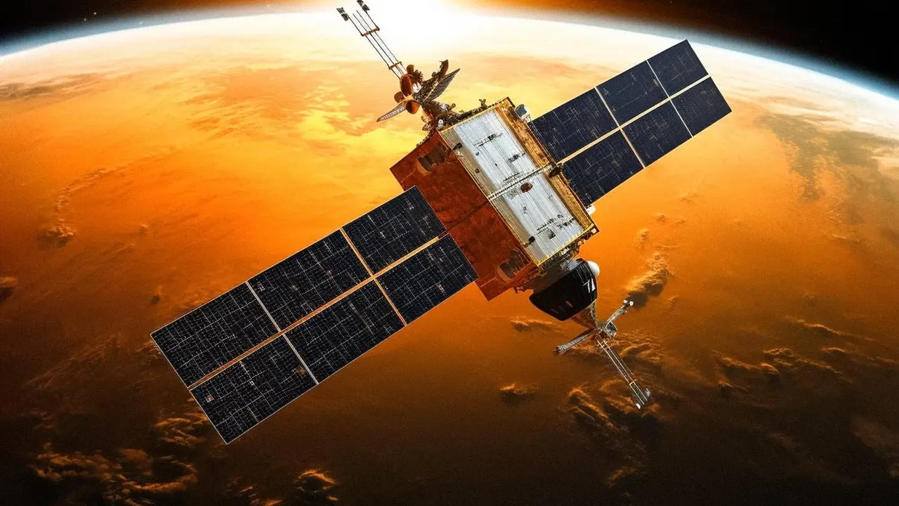
The primary goal of monitoring these heat patterns is prediction and hazard mitigation. A sudden increase in the temperature or size of a thermal anomaly can be a precursor to an eruption. For instance, the ground might heat up as magma forces its way through the rock, opening new fissures that release hot gases. Scientists use various tools to gather this data, from satellites like NASA's ASTER that provide broad, regular coverage, to portable, high-resolution thermal cameras (often called FLIRs) used on helicopters or drones for close-up inspections. While satellite data is great for monitoring remote volcanoes, handheld or drone-mounted cameras provide the fine detail needed to track lava flows or assess instabilities on a volcano's flanks.
A Global Watchtower in Action
This technology has proven its worth at numerous volcanoes worldwide. At Mount Etna in Italy, thermal imaging revealed the formation of fissure systems months before a major eruption, giving authorities advanced warning. During the eruption itself, thermal maps helped track the complex path of lava flows that were otherwise hidden by thick smoke and forest. Similarly, at Stromboli, another Italian volcano, helicopter thermal surveys detected fracturing on a slope just one hour before a large collapse, a first-of-its-kind observation. This continuous monitoring not only provides critical data for scientific research but also delivers actionable information that can safeguard air traffic from ash clouds and allow for timely evacuations of nearby populations.