





The Challenge of Finding Your Way on the Moon
For decades, navigating in space has been a complex process dependent on a constant conversation with Earth. Mission controllers use the Deep Space Network to send signals to a spacecraft and measure the return, a method that is slow, requires immense
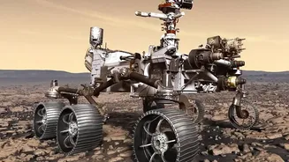
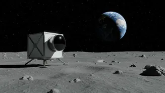
resources, and means every asset needs a direct line of sight to Earth. On the lunar surface, this becomes even more difficult. The Moon has no atmosphere to scatter light, creating extreme shadows and altering depth perception, a problem that plagued even the Apollo astronauts. For the sustained human presence envisioned by the Artemis program, with rovers, habitats, and astronauts working far from a landing site, this reliance on Earth-based navigation is simply not scalable or safe.
Enter LunaNet: An Internet for the Moon
To solve this, NASA is developing LunaNet—a flexible and extensible communications and navigation architecture for the Moon. Think of it as creating an internet and GPS service for our celestial neighbour. Instead of every mission communicating directly with Earth, they will connect to a local network of nodes. These nodes, which can be orbiters or surface assets, will provide three key services: networking (like Wi-Fi), science services, and, crucially, positioning, navigation, and timing (PNT). This framework is being designed collaboratively with international partners and commercial companies, creating a unified standard for anyone operating at the Moon.
The Pathfinder and a New Breed of Payloads
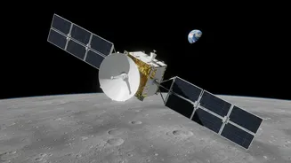
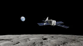
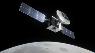
A key early component of this vision is the Lunar Pathfinder satellite, slated to launch around 2026. Built by Surrey Satellite Technology Ltd (SSTL) with contributions from ESA and NASA, it will act as a dedicated communications relay. More importantly for navigation, it will carry payloads designed to demonstrate a novel concept: using GPS signals from Earth at the Moon. Payloads like the NavCube3-mini are tiny, low-power receivers capable of detecting the faint signals from GPS and Galileo satellites that spill past Earth. By locking onto these signals, a spacecraft in lunar orbit can calculate its own position autonomously, without constantly checking in with ground control.
How a Lunar 'GPS' Will Actually Work
While we call it a lunar GPS, the system doesn't require a whole new constellation of satellites around the Moon just yet. The first step involves relay satellites like Lunar Pathfinder and others from commercial providers like Intuitive Machines. These orbiters will catch the weak Earth GPS signals and then re-broadcast a stronger, more reliable signal down to the lunar surface. This allows rovers and astronauts equipped with a special receiver to get a position fix, much like a phone uses cell towers to help determine location. This provides autonomy and precision that was previously impossible. It frees up bandwidth on the Deep Space Network and allows missions to operate on the far side of the Moon or in the treacherous, shadowed regions of the south pole.
A New Era for Lunar Exploration and Commerce
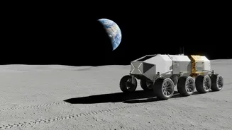
The impact of reliable lunar navigation is transformative. For Artemis astronauts, it means safer and more efficient expeditions, allowing them to explore further and with more confidence. For robotic missions, it enables autonomous rovers to navigate and map resources without human intervention. This foundational infrastructure is what will make a permanent lunar base possible. It enables precision landing of cargo, coordination between multiple international and commercial missions, and even a search and rescue network called LunaSAR. By creating this shared utility, NASA is laying the groundwork for a true lunar economy, where science, exploration, and commercial enterprise can coexist and thrive.