





India’s Answer to GPS
For most of us, navigation means one thing: GPS. But that system is owned and operated by the United States. During the 1999 Kargil War, India’s request for GPS data for the region was denied, highlighting a critical strategic vulnerability. This led
to the creation of NavIC, or Navigation with Indian Constellation, an independent system developed by the Indian Space Research Organisation (ISRO). Designed to cover the Indian mainland and a region extending 1,500 kilometres beyond its borders, NavIC provides crucial, uncompromised positioning data for both civilian and military use. Having our own system ensures that in times of conflict or crisis, India’s strategic operations, from missile guidance to troop movements, are not dependent on another nation’s goodwill.
The Problem with the First Generation
The initial constellation of satellites, known as the Indian Regional Navigation Satellite System (IRNSS), was a landmark achievement. However, the system soon faced a persistent and serious issue: the failure of its imported atomic clocks. These highly precise clocks are the heart of any navigation satellite, providing the timing data necessary to calculate an accurate position on the ground. Failures across multiple satellites, including IRNSS-1A and others, crippled the constellation. By early 2026, reports indicated that only three satellites remained fully operational for positioning services. Since a minimum of four satellites are needed to pinpoint a location accurately, the NavIC system's standalone positioning service became inactive, though its timing service remained functional. This created an urgent need to launch a new, more robust generation of satellites.
Enter the NVS Series: A Major Upgrade
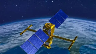
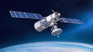
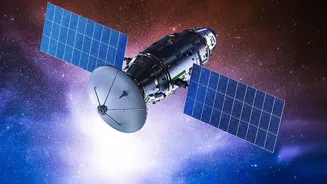
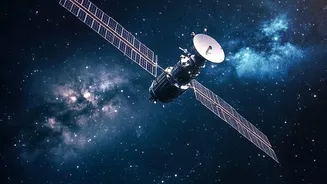
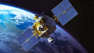
The NVS series represents the second generation of NavIC satellites, designed specifically to fix the shortcomings of the original IRNSS fleet. The first of this new series, NVS-01, was successfully launched in May 2023. A key upgrade was the inclusion of an indigenous rubidium atomic clock, developed by ISRO's Space Applications Centre in Ahmedabad, to reduce reliance on foreign components that had previously failed. The NVS satellites also feature a longer planned mission life of 12 years, up from 10. Crucially, they broadcast on the L1 frequency band, in addition to the existing L5 and S bands. This L1 band is the same one used by GPS for civilian signals, making it easier for manufacturers to integrate NavIC into commercial devices like smartphones and wearables.
The NVS-03 Mission and Restoring the Constellation
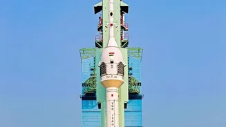
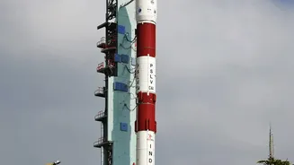
While NVS-01 was a success, a subsequent mission, NVS-02, failed to reach its orbit in January 2025, underscoring the challenges of space missions. This makes the upcoming NVS-03 launch, targeted for October 2026, incredibly important. A successful launch would restore the four-satellite minimum, reactivating NavIC’s standalone positioning services. This is vital for India's security forces, who depend on NavIC for secure navigation for missiles, warships, and aircraft without relying on foreign networks. ISRO is already preparing for the launch from the Satish Dhawan Space Centre, with two more satellites, NVS-04 and NVS-05, in advanced stages of production to further bolster the constellation.
More Than Just Maps on Your Phone
A fully functional NavIC system offers benefits that extend far beyond military applications. For civilians, it promises more reliable and accurate positioning, especially in dense urban areas and remote regions. Its applications span transportation, where it is used for tracking public transport and commercial vehicle fleets, to disaster management, where it can guide rescue teams in areas affected by floods or earthquakes. It also supports precision farming, resource monitoring, and scientific research. The system is designed to provide position accuracy better than 20 meters and is interoperable with other global systems like GPS, GLONASS, and Galileo, providing users with a more robust and seamless navigation experience.