





A Global Rain Gauge in the Sky
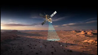
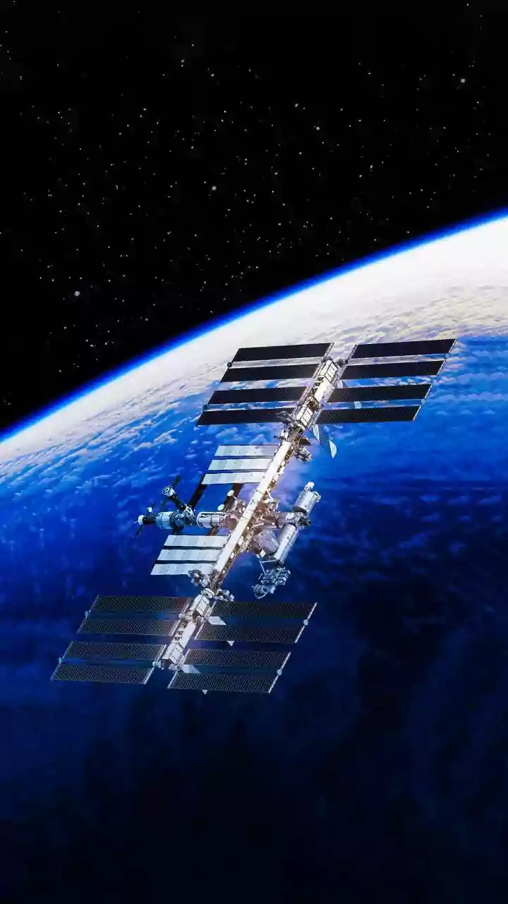
Imagine trying to measure rainfall across all of India, including remote mountains and vast oceans, using only ground-based rain gauges. It would be nearly impossible to get a complete picture. This is where satellites like those in the Global Precipitation
Measurement (GPM) mission, a joint effort between NASA and JAXA with partners like ISRO, come in. These satellites use advanced microwave and radar instruments to measure precipitation—from light rain to heavy snow—across almost the entire planet, providing a comprehensive update every few hours. This creates a continuous, global dataset that is more comprehensive than ground observations alone, offering crucial insights into Earth's water and energy cycles. For a country like India, where the monsoon is the lifeblood of the economy, this detailed view is transformative.
A Lifeline for Indian Agriculture
For the millions of Indian farmers who depend on agriculture for their livelihood, water is everything. Satellite rainfall data is becoming a game-changer for this sector. It provides vital information for predicting crop yields, managing irrigation schedules, and monitoring soil moisture levels. In a country where over 80% of farmers are small landholders, access to this information can make the difference between a successful harvest and a devastating loss. By combining satellite precipitation data with weather forecasts and information about the land, advisory systems can send text messages to farmers telling them precisely when and how much to irrigate, helping conserve water and improve crop output. This data also helps in the early detection of drought conditions, allowing for timely interventions to protect both food security and farmers' incomes.
Taming Floods and Mitigating Disasters
India is highly vulnerable to water-related natural disasters, from devastating monsoon floods to severe droughts. Satellite data provides a powerful tool for disaster management. By monitoring heavy rainfall patterns in near-real time, authorities can issue earlier and more accurate flood warnings. This is crucial for river basins like the Godavari and Tapi, where spatial flood early warning systems have been built using space-based rainfall data. The information also helps in assessing the risk of landslides, which are often triggered by intense rainfall in hilly regions. On the other end of the spectrum, the same data helps in monitoring drought conditions, managing reservoir levels, and making critical decisions about water allocation for drinking, agriculture, and hydropower.
Forecasting Disease Outbreaks
One of the most surprising applications of rainfall data is in public health. The spread of many vector-borne diseases, like malaria and dengue, is closely linked to weather patterns. Mosquitoes, which transmit these diseases, breed in stagnant water left behind after rainfall. By analysing satellite precipitation data along with other environmental factors like temperature and vegetation, scientists can create risk maps that predict where outbreaks are most likely to occur. This predictive capability allows public health officials to take proactive measures, such as targeted fumigation and public awareness campaigns, to prevent the spread of disease before it starts. This emerging field of disease forecasting has shown promise in tracking everything from malaria in the Amazon to cholera in developing regions.