



The Challenge of Lunar Navigation
Navigating on Earth is something we take for granted. With the Global Positioning System (GPS), our phones can pinpoint our location almost anywhere on the planet. The Moon, however, has no such system. For decades, navigating in deep space has relied
on a constant conversation with mission control on Earth. Spacecraft send signals to NASA's Deep Space Network (DSN), a collection of massive radio antennas, which then calculates their position and sends instructions back. This method, while reliable, is slow and resource-intensive. The communication delay can be several seconds, and the demand on the DSN is immense. As missions become more complex, especially with the Artemis program aiming for a sustained lunar presence, this reliance on Earth becomes a significant bottleneck. For astronauts or rovers traversing the treacherous, shadow-filled terrain of the lunar south pole, waiting for guidance from Earth isn't just inefficient—it can be dangerous.
Introducing a 'Lighthouse' for the Moon
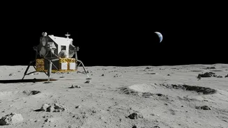
To solve this problem, NASA is developing navigation payloads that act like localised beacons, creating a network that functions much like a GPS. One key experiment is the Lunar Node-1 (LN-1), a radio beacon designed and built at NASA's Marshall Space Flight Center. Described as a 'lunar lighthouse', LN-1 provides navigation data directly to spacecraft in orbit or on the surface. Instead of calling home to Earth, a lander or rover can get a direct signal from LN-1 to determine its exact position, velocity, and time. This technology was successfully tested in early 2024 after being delivered to the Moon's south pole region aboard a commercial lander from Intuitive Machines. For thirty minutes, it broadcast its signal, proving that an autonomous, point-to-point navigation system on the Moon is feasible.
How Autonomous Navigation Works
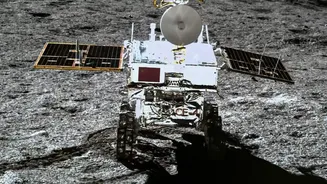
Autonomous navigation means giving a spacecraft the ability to make its own decisions without waiting for commands from human operators. Payloads like LN-1 are a crucial piece of this puzzle, providing the essential reference points. An equipped spacecraft, rover, or even an astronaut's suit can receive signals from one or more of these nodes and calculate its own position. This is a fundamental shift from the old model. It's the difference between asking for directions at every turn versus having a live map that updates in real-time. This capability, sometimes called a Multi-spacecraft Autonomous Positioning System (MAPS), allows vehicles to perform complex manoeuvres, course corrections, and landings with greater speed and precision. This not only improves safety but also dramatically increases mission efficiency by reducing the time spent waiting for instructions from Earth.
Paving the Way for Artemis and Beyond
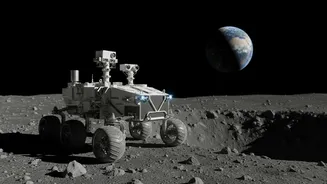
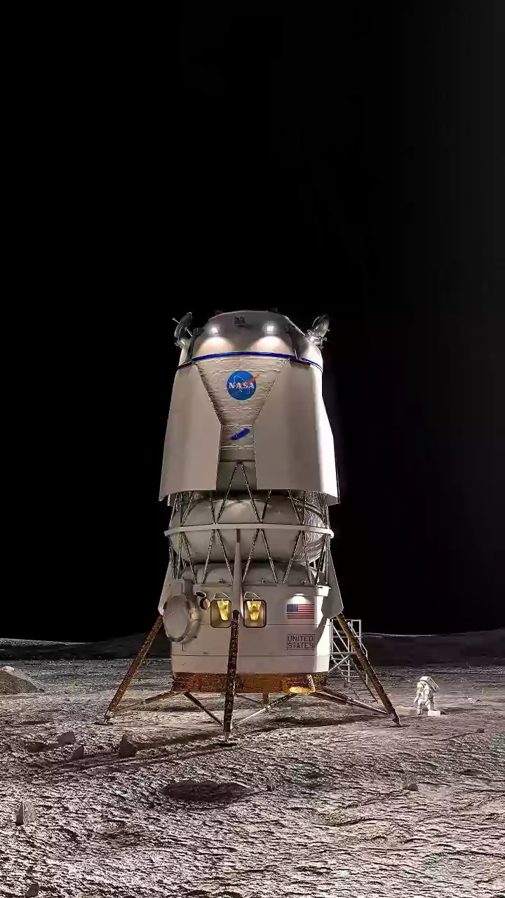
This technology is a cornerstone of NASA's Artemis program, which aims not just to visit the Moon but to build a lasting infrastructure, including a future Moon Base. To do that safely and efficiently, crews and machines need to operate with more independence. Autonomous navigation will be critical for landers trying to touch down on rugged terrain, for rovers exploring permanently shadowed craters, and for astronauts who need to know their exact location while working on the surface. Beyond single beacons like LN-1, NASA is also developing the LunaNet architecture—an ambitious plan for an internet-like network of communications and navigation services for the Moon. Other related projects, like CAPSTONE and NavCube3-mini, are also testing ways to use Earth's own GPS signals at lunar distances and to navigate in the complex gravitational environment between Earth and the Moon.