






The Cross-Border Connection
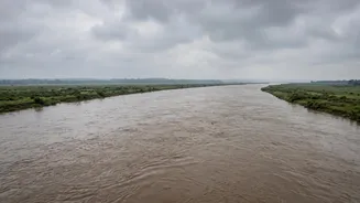
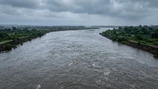
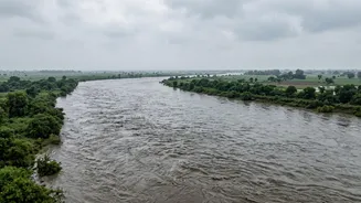
The fates of millions in India's Gangetic plains are directly tied to rivers that begin in Nepal and the Tibetan plateau. Major rivers like the Gandak (known as Narayani in Nepal), Ghaghara, and Kosi flow down from the Himalayas, crossing international
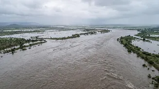
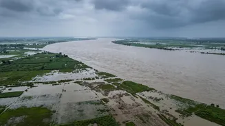
borders to become lifelines for agriculture and communities in Bihar and Uttar Pradesh. But this connection is also a source of immense vulnerability. An event in Nepal, whether heavy rainfall or a glacial lake outburst, doesn't stay in Nepal. As recently as August 2026, flash floods in Nepal's Rasuwa district triggered immediate alerts in downstream Indian districts like Maharajganj and Kushinagar in UP, and West Champaran in Bihar. Authorities on the Indian side began carefully tracking the water levels of the Gandak river, with Bihar's officials opening all 36 gates of the Gandak Barrage as a precaution.
Climate Change: A Looming Threat
Climate change is amplifying the risks. The Himalayas hold the world's third-largest ice deposit, and as global temperatures rise, glaciers are melting at an accelerated rate. This creates a two-fold problem. In the short term, it leads to the formation and expansion of massive glacial lakes, often held back by unstable natural dams of rock and debris (moraines). A sudden breach of one of these lakes can cause a Glacial Lake Outburst Flood (GLOF), releasing enormous volumes of water and debris downstream with little warning. The 2013 Kedarnath tragedy and the 2023 Sikkim flood were devastating examples of GLOFs. This threat looms over the entire Himalayan region, where a 2023 study found that 15 million people are at risk from such events. This makes tracking not just rainfall, but the health of glaciers and their lakes, a critical part of disaster management.
Inside the Early Warning System
To counter these threats, India has developed a sophisticated, multi-layered monitoring system. The Central Water Commission (CWC) is the nodal agency, operating hundreds of hydro-meteorological observation sites across the Ganga basin. These stations provide real-time data on river flow, rainfall, and water levels. This is complemented by modern technology like GIS-based platforms, which integrate sensor data and satellite imagery into a single, live view of the entire river basin. Crucially, this system relies on cross-border cooperation. India and Nepal have a three-tier bilateral mechanism to share hydrological and meteorological data on common rivers. When the CWC receives an alert about a sudden rise in a river like the Trishuli in Nepal, it can issue warnings that give downstream authorities in UP and Bihar precious hours to prepare.
High Stakes on the Plains
For Bihar and Uttar Pradesh, this is not a theoretical exercise. These are some of India's most densely populated states, with vast agricultural lands entirely dependent on these very rivers. Bihar, in particular, is geographically prone to flooding, with a history of devastating events like the Kosi flood. The Gandak river basin alone is home to millions, with districts like West and East Champaran, Gopalganj, Muzaffarpur, Kushinagar, and Maharajganj on the front lines. An uncontrolled flood can submerge villages, destroy crops, damage critical infrastructure like roads and bridges, and lead to loss of life. In response to recent alerts from Nepal, the National Disaster Response Force (NDRF) deployed 20 teams across both states to prepare for potential evacuations and rescue operations, underscoring the seriousness of the threat.