




The Challenge of Finding Your Way
Until now, navigating on or around the Moon has been a cumbersome process. Every spacecraft, rover, and eventually, astronaut, has had to rely on the Deep Space Network (DSN) on Earth for positioning data. This involves sending signals from the lunar
asset to massive radio antennas on our home planet, which then calculate the position and send it back. This method is slow, resource-intensive, and requires pre-scheduled communication links. For a single mission, it’s manageable. But for NASA’s Artemis program, which aims to establish a long-term, sustainable presence on the Moon, this Earth-dependent system is a major bottleneck. It limits the speed of exploration and the number of missions that can operate simultaneously.
A GPS for the Moon Takes Shape
To solve this, NASA is developing LunaNet, a concept for a flexible and interoperable communications and navigation network at the Moon. Think of it as creating an internet and GPS service specifically for our celestial neighbour. A key part of this is the deployment of navigation payloads, like the Lunar Node-1 (LN-1) demonstrator which flew on a commercial lander. These payloads are essentially radio beacons designed to provide real-time positioning signals directly to users on the lunar surface or in orbit. Instead of waiting for a message from Earth, a rover or astronaut could receive a constant stream of data from multiple sources at the Moon, allowing them to know their precise location instantly.
How It Enables a New Breed of Rover
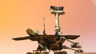
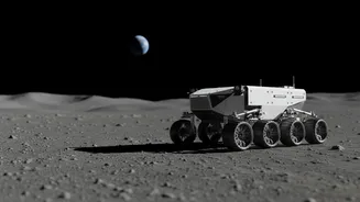
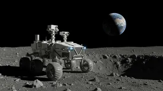
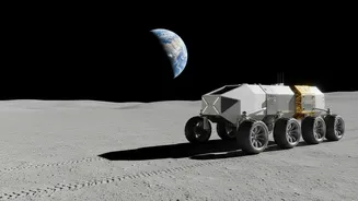
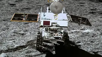
This is where the concept of “independent positioning” becomes a game-changer, especially for rovers. Current rovers operate on a tight leash, with every move meticulously planned and monitored from Earth. With a lunar navigation system, rovers can become truly autonomous explorers. They could navigate complex terrain, like the rugged and shadowy regions of the lunar South Pole, without waiting for instructions. This autonomy dramatically increases their efficiency. A rover could cover more ground, conduct more science, and even make its own decisions to avoid hazards or investigate interesting features it encounters. It untethers these robotic explorers, allowing them to function more like field geologists and less like remote-controlled toys.
Building the Commercial Infrastructure
This technology isn't just about NASA's own missions. The entire effort is deeply intertwined with the Commercial Lunar Payload Services (CLPS) initiative. Through CLPS, NASA is partnering with private companies like Intuitive Machines and Firefly Aerospace to deliver these payloads to the Moon. By fostering a commercial market for these services, NASA is seeding a future lunar economy. Companies could operate their own navigation and communication relays, selling data to other missions, both government and private. This creates a self-sustaining infrastructure that lowers the barrier to entry for anyone wanting to operate on the Moon, from science missions to resource extraction ventures.
Beyond Rovers to a Lunar Base
While rovers are a primary beneficiary, the impact of a lunar navigation network extends to all aspects of a sustained presence. Astronauts on extravehicular activities (EVAs) could navigate with the confidence of a smartphone map. Landers could perform more precise and safer autonomous landings, a capability highlighted as critical after recent missions experienced challenges. It’s a foundational piece of infrastructure, much like power grids or communication networks on Earth. Establishing this lunar GPS is a critical step in moving from short, exploratory “sortie” missions to building a permanent, functioning outpost where humans can live and work.