






What Caused the Devastating Flood?
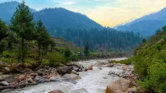
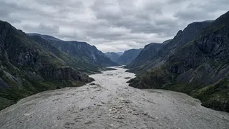
On August 26, 2026, a massive torrent of water, mud, and debris surged through the Bhote Koshi river valley near the Nepal-Tibet border. Preliminary assessments from scientists and government agencies suggest the disaster was not caused by heavy rainfall,
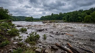
but by a massive ice-rock landslide from a high-altitude glacier. This collapse sent an enormous volume of material into the river, potentially creating a temporary dam that later burst, unleashing a powerful flood wave downstream. The event was so significant it registered as a magnitude 5.2 seismic event, initially mistaken for an earthquake. The floodwaters cascaded through the Bhote Koshi and Trishuli river systems, wiping out settlements, bridges, roads, and critical hydropower infrastructure in Nepal's Rasuwa, Nuwakot, and Dhading districts.
The Official Response: Vigilance, Not Panic
In the wake of the disaster, Nepalese authorities have mobilized a full-scale search, rescue, and relief operation, involving security forces and disaster management agencies. The government has stressed that its immediate priority is saving lives and providing assistance to those affected. At the same time, officials from both Nepal and India are urging calm. Nepal's Flood Forecasting Division has been providing regular updates, noting that while water levels in several major rivers are expected to rise, they currently remain below official alert levels as of August 27. The messaging underscores a shift in disaster management, focusing on preparedness based on real-time data to prevent widespread panic. In India, the National Disaster Response Force (NDRF) confirmed it is closely monitoring the situation but stated there has been no adverse impact on the Indian side thus far.
Why India is on High Alert
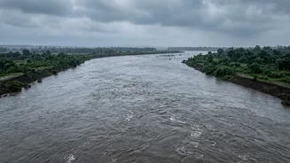
The geography of the Himalayan river system means a disaster in Nepal is a direct concern for India. Major rivers like the Gandak (known as Narayani in Nepal) and the Kosi flow from Nepal into the densely populated plains of Bihar and Uttar Pradesh. In response to the flood, authorities in Bihar and Uttar Pradesh immediately put border districts on high alert. In Bihar, an alert was sounded for nine districts, including West Champaran, Sitamarhi, and Supaul. As a precautionary measure, all 36 gates of the Gandak Barrage at Valmikinagar were opened to manage the expected increase in water flow from Nepal. Evacuations of residents in low-lying areas were also carried out in West Champaran. The NDRF has deployed 20 teams across the two states to prepare for any potential flooding.
A History of Transboundary Risk
This event is a stark reminder of the shared environmental risks in the region. The Himalayas are geologically young and fragile, making them prone to landslides and other natural hazards. The Kosi river, for instance, is notorious for its massive sediment load and history of changing course, which led to the devastating Bihar flood in 2008. The current crisis highlights the critical importance of cross-border cooperation. India and Nepal have existing mechanisms for sharing hydrological data, which are crucial for managing monsoon surges and providing early warnings. However, experts argue this event underscores the need to move beyond simple flood warnings toward integrated, basin-wide risk management that accounts for the cascading nature of Himalayan disasters, where a glacial collapse can impact communities hundreds of kilometres downstream.