






The Hidden Danger in the Sky
To a passenger, a volcanic ash cloud might look like any other weather cloud. To a jet engine, however, it's a catastrophic threat. Volcanic ash is not soft like smoke; it's made of tiny, jagged particles of rock, mineral, and volcanic glass. The operating
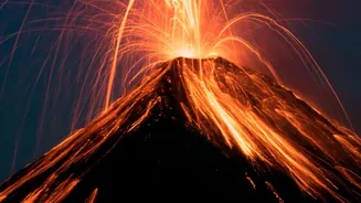
temperature inside a modern jet engine is hot enough to melt these particles, which then fuse into a glassy coating on critical engine components like turbine blades. This can block fuel nozzles and disrupt airflow, potentially causing a complete engine flameout. The abrasive nature of the ash can also sandblast cockpit windows, rendering them opaque, and damage flight control systems. The 2010 eruption of Iceland's Eyjafjallajökull volcano provided a stark reminder of this danger, leading to the largest air-traffic shutdown since World War II and grounding over 100,000 flights. Millions of passengers were stranded as the ash plume spread across Europe's busiest air corridors.
The Eyes That Never Sleep
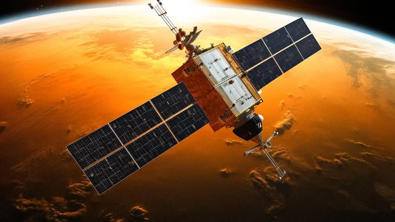
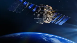
Monitoring the world's 1,500 potentially active volcanoes, many of which are in remote locations, is a monumental task impossible from the ground alone. This is where satellites provide an indispensable advantage. A global constellation of Earth-observing satellites operates 24/7 to watch for eruptions and track the resulting ash clouds. These satellites fall into two main categories. Geostationary satellites, like the GOES and Himawari series, orbit in sync with the Earth's rotation, allowing them to stare at the same region continuously. This provides a constant stream of images, perfect for detecting the initial, rapid growth of an eruption plume which can reach cruising altitudes in as little as five minutes. The second type, polar-orbiting satellites like the Suomi NPP and Sentinel series, circle the Earth from pole to pole, providing high-resolution snapshots of the entire globe, offering more detailed data on the composition and structure of the ash cloud as it travels.
Seeing the Invisible With Infrared
The key to detecting volcanic ash is seeing beyond the visible spectrum of light. While an ash plume may be obvious in daylight, it is often indistinguishable from a regular water-vapour cloud at night or when it becomes diffuse. The primary tool for detection is infrared (IR) sensing. Volcanic ash particles, which are essentially tiny bits of silicate glass, absorb and re-radiate thermal energy differently than the ice or water droplets in meteorological clouds. By comparing the brightness temperatures measured at two different thermal infrared wavelengths (a technique known as the 'split-window' or Brightness Temperature Difference method), scientists can make the ash cloud 'pop' out in satellite imagery, even in total darkness. Further analysis using ultraviolet (UV) sensors can measure the concentration of sulfur dioxide (SO₂), a gas released alongside ash that serves as a tell-tale marker of a volcanic plume.
From Data to Decision-Making
Raw satellite data is just the first step. To make this information useful for aviation, it is funnelled to one of nine Volcanic Ash Advisory Centers (VAACs) located around the world. These centres, established by the International Civil Aviation Organization (ICAO), are responsible for a specific geographical area. Experts at each VAAC analyse the incoming satellite imagery, ground-based reports, and pilot observations. They feed this data into complex dispersion models, which act like weather forecasts for ash, predicting where the cloud will travel and at what altitudes over the next 6, 12, and 18 hours. Based on this analysis, the VAAC issues Volcanic Ash Advisories (VAAs) to air traffic controllers, airlines, and meteorological offices, who then use the information to close airspace or reroute flights safely around the hazard zone.
The Future of Ash Monitoring
Technology in this field is constantly evolving. Newer generations of satellites, such as the Sentinel-3 and the GOES-R series, feature more advanced instruments with higher spatial resolution and more spectral channels. This allows for a more precise characterisation of ash clouds, including estimates of particle size and concentration. Scientists are also developing sophisticated machine learning and artificial intelligence algorithms that can automatically detect ash plumes from satellite data with increasing accuracy, speeding up the warning process. Combining data from different sensors, including ground-based radar and Lidar, with satellite observations is creating a more complete three-dimensional picture of the hazard, enabling more precise and less disruptive flight planning. These advancements, spurred by events like the Eyjafjallajökull eruption, have significantly improved the global response to volcanic events, making air travel safer for everyone.