




A Land Carved by Water
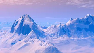
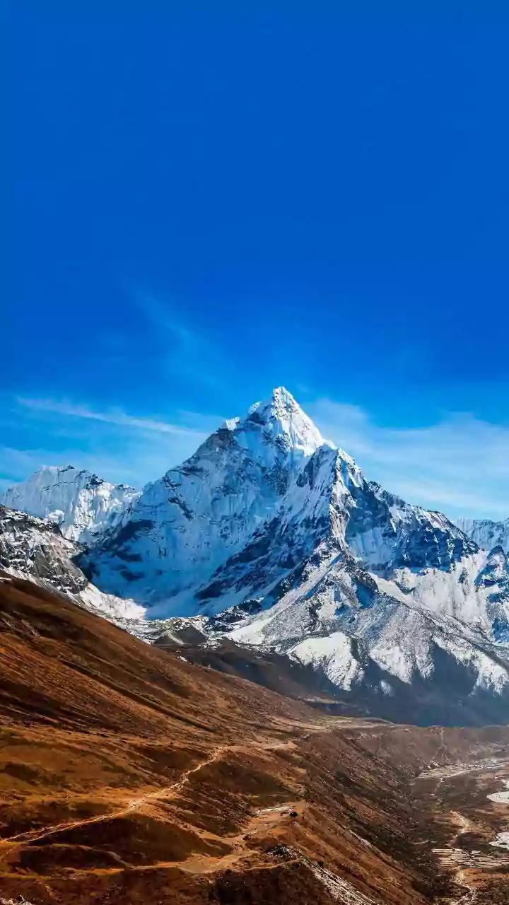
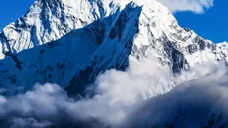
Nepal's geography is both its greatest asset and its most profound challenge. A country defined by the towering Himalayas, its landscape is overwhelmingly vertical. Flat, stable land for farming and housing is a scarce and precious commodity, found primarily
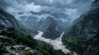
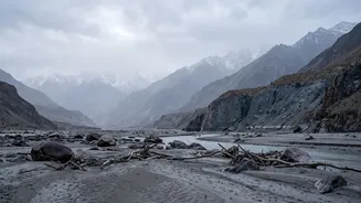
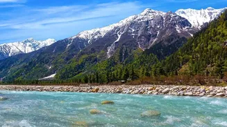
in narrow valleys and along the floodplains carved by more than 6,000 rivers. Historically, these river corridors were the logical place for life to flourish. They provided water for drinking and irrigation, fertile silt for crops, and relatively gentle terrain for building communities. For centuries, a delicate balance was maintained between the people and the powerful, snow-fed rivers that gave them life.
The Rush to the Riverbanks
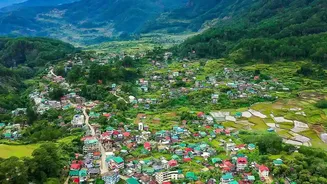
In recent decades, this balance has been shattered. Rapid population growth, economic centralization in urban centers like Kathmandu, and rural-to-urban migration have dramatically increased the demand for housing. With planned, safe land in short supply and often unaffordable, many low-income and marginalized families have been forced to build homes in high-risk areas. These informal settlements have proliferated along riverbanks and floodplains, often on public land, not out of preference for the hazard, but because the formal housing market excludes them. This unplanned growth means homes are often built without proper engineering or adherence to building codes, placing entire communities in the direct path of potential disaster.
A Climate in Crisis
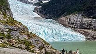
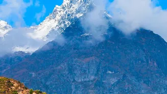
Climate change is acting as a dangerous threat multiplier in this already fragile environment. The Himalayas are warming faster than the global average, leading to the accelerated melting of glaciers. This has two major effects: it increases the risk of Glacial Lake Outburst Floods (GLOFs), and it destabilizes the mountain slopes that were once held in place by ice. Scientists have observed how warming temperatures and thawing permafrost can weaken rock faces, making them more prone to collapse. At the same time, monsoon rainfall patterns are becoming more erratic and intense, leading to more frequent and severe flash floods. A devastating event on August 26, 2026, which killed hundreds, was triggered not by rainfall, but by a massive glacier collapse that created a landslide and a catastrophic debris flow.
The Anatomy of a Disaster
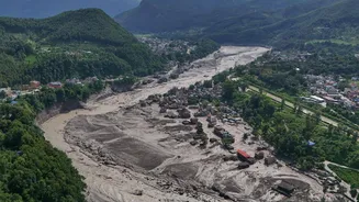
The flash floods that plague Nepal are often complex, cascading events that are incredibly difficult to predict. As seen in the August 2026 tragedy, a disaster can begin high in the mountains with an ice-rock avalanche. This wall of debris thunders down a valley, gathering more rock and sediment, and can temporarily block a river. When the immense pressure of the backed-up water breaks through this natural dam, it releases a sudden, terrifying surge downstream. This wall of water, mud, and boulders moves at an incredible speed, wiping out entire villages, bridges, and critical infrastructure with little to no warning. In some instances, river levels have been observed to rise by as much as nine meters in just 30 minutes.
The Struggle for Solutions
Addressing this deep-seated vulnerability requires a multi-faceted approach that goes beyond just disaster relief. The Government of Nepal has been working to create a more comprehensive disaster governance framework, integrating principles from the Sendai Framework for Disaster Risk Reduction and establishing new authorities. However, these efforts face significant challenges, including confusion between different levels of government and a lack of resources for local first responders. International organizations are supporting these efforts by helping with hazard mapping, capacity building, and developing early warning systems. Ultimately, experts argue that long-term solutions must involve better urban planning, enforcing building codes, investing in green infrastructure, and potentially relocating communities from the most high-risk zones.