




A Wall of Water in the Night
On the night of June 15, 2021, the Melamchi River, a vital waterway in Nepal’s Sindhupalchowk district, transformed into a monster. A sudden, colossal surge of water, mud, and boulders roared through the valley, sweeping away homes, bridges, and parts
of a major drinking water project. The event was baffling; it had not been preceded by extreme rainfall in the immediate area. Communities were caught entirely off guard by the debris-laden flash flood that descended from the mountains, displacing thousands and causing immense destruction. The question for scientists was not just what had happened, but why it happened so suddenly and with such force.
The Hunt for a Cause
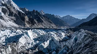
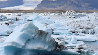
In the disaster's aftermath, an international team of scientists began a high-tech investigation to unravel the mystery. The initial suspect was a Glacial Lake Outburst Flood (GLOF), a known hazard in the Himalayas where a lake formed by melting glaciers breaches its natural dam. However, the evidence pointed to something more complex. Using satellite imagery, seismic data, and digital elevation models, researchers peered into the remote, inaccessible upper reaches of the Melamchi valley. They discovered that the disaster wasn't a single event, but a cascading sequence of failures that began thousands of metres up in the mountains.
A Cascade of Destruction
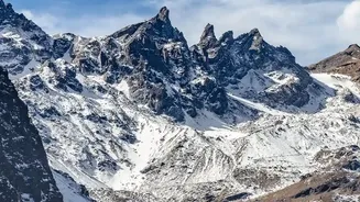
The investigation revealed a perfect storm of geological and climatic factors. Studies suggest that intense rainfall and snowmelt high in the mountains saturated loose sediment—debris likely left behind by past glaciers and destabilised by the 2015 Gorkha earthquake. This triggered a massive landslide. A huge volume of rock and debris avalanched into the river, forming a temporary dam. As water backed up behind this unstable barrier, the pressure mounted until the dam catastrophically failed. This breach unleashed the powerful debris flow that cascaded downstream, gathering more rock and sediment as it went, amplifying its destructive power significantly.
The Himalayas on High Alert
The Melamchi disaster is a stark reminder of a threat looming over the entire Hindu Kush Himalaya region, an area often called the 'Third Pole'. This vast ice reserve, which feeds major rivers supporting billions of people in India and neighbouring countries, is warming faster than the global average. As glaciers retreat at an accelerated rate, they leave behind unstable slopes and swell glacial lakes, dramatically increasing the risk of events like GLOFs and complex debris flows. The 2021 Chamoli disaster in India was triggered by a similar rock and ice avalanche, underscoring that these are not isolated incidents but symptoms of a rapidly changing mountain environment.
Can We Predict the Next Collapse?
While stopping glaciers from melting requires global action on climate change, managing the risk on the ground is a critical challenge for countries like India and Nepal. The science used to decode the Melamchi flood is now being harnessed to identify other vulnerable areas. By using satellite monitoring to track changes in glaciers, lakes, and land stability, scientists hope to build better early warning systems. These systems could provide precious time for downstream communities to evacuate before disaster strikes. However, the sheer scale of the Himalayas and the unpredictable nature of these collapses make it an incredibly difficult task, demanding greater cross-border scientific collaboration and investment in on-the-ground monitoring.