



The Moon’s GPS Problem
On Earth, we take satellite navigation for granted. Our phones and cars triangulate signals from a network of Global Positioning System (GPS) satellites to pinpoint our location with remarkable accuracy. The Moon has no such system. For decades, lunar
missions have relied on a painstaking process of communication with the Deep Space Network (DSN) on Earth. Mission controllers track a spacecraft's signal to calculate its position, a method that is slow, requires a direct line of sight to Earth, and strains limited resources. This dependency is a major hurdle for ambitious exploration. For astronauts on the surface or rovers venturing into craters, waiting for positioning data from a planet 384,400 kilometres away is not just inefficient; it's a significant safety risk.
A Network of Lunar Lighthouses
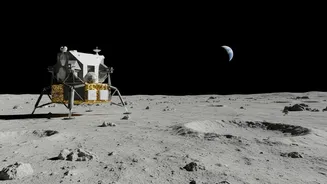
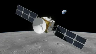
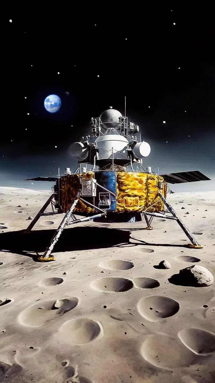
NASA's solution is a fundamental piece of infrastructure called the Lunar Node-1 (LN-1), a technology demonstration payload that flew aboard the Intuitive Machines lander in early 2024. Think of LN-1 as the first in a series of 'lunar lighthouses'. It’s a compact, autonomous radio beacon designed to transmit navigation signals from the Moon's surface. The goal is to deploy a network of these nodes—on landers, rovers, and orbiting satellites—to create a local positioning grid. This overarching architecture, known as LunaNet, aims to be an internet and GPS for the Moon, a framework open to international and commercial partners. This system would give spacecraft and astronauts the ability to determine their position autonomously and in real time, without constantly phoning home to Earth.
Unlocking the Lunar South Pole
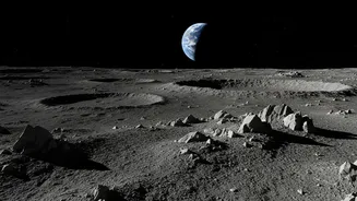
The need for robust local navigation is most critical at the lunar South Pole, the primary destination for NASA’s Artemis missions. This region is believed to hold vast reserves of water ice within its permanently shadowed craters—a resource that could be used for life support and rocket fuel. But the South Pole is treacherous. The sun hangs low on the horizon, casting long, moving shadows that can obscure dangerous craters and boulders. The rugged terrain and periods of total darkness make visual navigation incredibly difficult, and the deep craters can block direct communication with Earth. A reliable navigation network is the key to unlocking these areas. It will allow rovers and astronauts to safely chart paths into these dark, scientifically rich craters and navigate the challenging landscape with confidence.
Safety, Precision, and the Future of Exploration
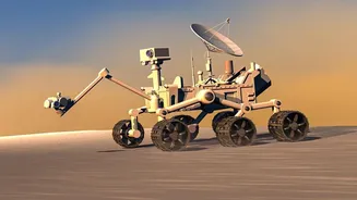
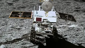
Ultimately, this new technology is about advancing two core principles: safety and precision. For astronauts conducting Extra-Vehicular Activities (EVAs), knowing their exact position relative to their habitat or lander is critical. They can't afford to get lost. In the Apollo era, astronauts relied on maps and bearings, but for the long-duration stays planned for Artemis, a more advanced system is essential. Precise navigation also enables more ambitious science. It allows for pinpoint landings in challenging but valuable locations, ensures rovers can autonomously find and investigate specific geological features, and helps coordinate the construction of future infrastructure, like habitats and power stations. The successful test of the LN-1 payload demonstrated that this concept works, paving the way for a more resilient and independent model of lunar exploration.