




A Catastrophe in the Himalayas
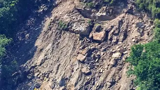
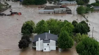
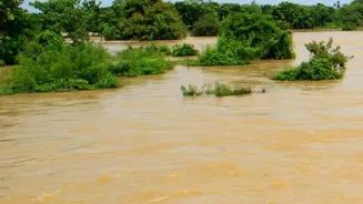
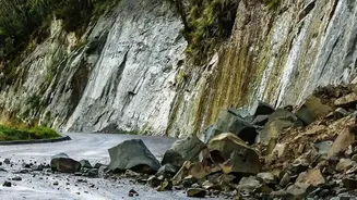
In late August 2026, a catastrophic flood tore through communities along the Trishuli River corridor in Nepal, leaving a trail of destruction. A massive section of rock and glacier broke away from a mountain near the border with China, unleashing a torrent
of water, ice, and debris that swept away homes, bridges, and hydropower plants. The human cost was immense, with over 1,300 people killed and thousands more missing, while the economic damage ran into billions of dollars. While earthquakes and heavy rainfall are known triggers for such events, a new analysis by climate scientists points to a more insidious, long-term culprit that set the stage for the disaster: decades of human-caused global warming.
Decoding the 'Climate Signals'
Scientists from the World Weather Attribution initiative found clear “fingerprints of climate change” that made the mountain slope dangerously unstable. The primary signal is the steady rise in temperature, which is happening almost twice as fast in the Himalayas as the global average. This warming has pushed the freezing line—the altitude where the ground stays frozen year-round—uphill by approximately 100 meters per decade. This seemingly small shift has profound consequences. It exposes higher rock faces to freeze-thaw cycles that weaken them and, crucially, begins to thaw the permafrost that has acted like a binding glue for thousands of years.
From Melting Ice to Unstable Mountains
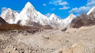
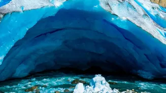
Permafrost is essentially frozen soil, rock, and ice that holds mountain slopes together. As it thaws, this natural cement degrades, making the ground unstable and prone to collapse. Simultaneously, glaciers are thinning and retreating at an accelerated rate. This not only adds vast amounts of meltwater that can seep into rock cracks and exert immense pressure, but it also removes the physical support that glaciers provided to adjoining rock walls. When you combine thawing permafrost, retreating glaciers, and record summer heat—as was observed in the weeks before the collapse—the structural integrity of the mountain itself becomes compromised, creating the conditions for a catastrophic failure.
A 'Third Pole' in Peril
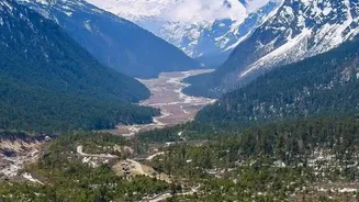
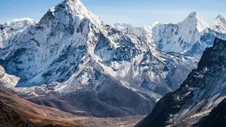
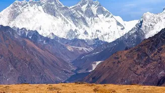
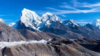
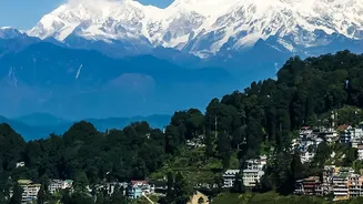
The issue is not confined to one mountain in Nepal. The entire Hindu Kush Himalaya (HKH) region, often called the ‘Third Pole’ for holding the largest volume of ice outside the polar regions, is at risk. This vast mountain system, spanning eight countries including India, is the source of ten major river basins that support nearly two billion people. As glaciers melt, they are forming thousands of new glacial lakes, many of which are held back by nothing more than unstable mounds of rock and debris. These lakes are ticking time bombs for Glacial Lake Outburst Floods (GLOFs), which can be triggered by landslides from thawing slopes and release devastating floods downstream with little to no warning. Reports indicate that the region is approaching “peak water,” after which river flows will begin to decline, threatening long-term water security for hundreds of millions in India and beyond.
What Comes Next for the Region?
While scientists note that the August disaster was a complex event also influenced by geological factors like the 2015 earthquake, they stress that climate change is an undeniable destabilising factor. The increasing frequency of these disasters shows that the region is facing hazards that are exceeding its capacity to adapt. This underscores the urgent need for better early-warning systems, comprehensive risk mapping of unstable slopes and glacial lakes, and greater cross-border cooperation between nations like Nepal, China, and India. It also amplifies calls from frontline nations like Nepal for financial support from the international community to cope with loss and damage caused by a climate crisis they did little to create.