





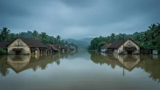
The New Nature of Rain
The core of the prediction problem lies in the changing character of the rainfall itself. Scientists are observing a clear shift away from prolonged, steady monsoon showers towards what are known as “mesoscale mini cloudbursts”. These are highly localised,
intense downpours that can dump over 100 mm of rain in just an hour, often across a small area of just a few dozen square kilometres. These events are driven by rapidly developing, towering convective clouds. Because of their speed and small scale, two neighbouring districts, or even two nearby river basins, can experience vastly different amounts of rainfall. This high degree of spatial and temporal variability makes it incredibly difficult for forecasters to predict the exact location, timing, and intensity of these deluge events, even with significant improvements in weather modelling.
A Magnified Threat in the Ghats
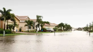
Kerala’s unique topography, particularly the steep slopes of the Western Ghats, exacerbates the danger. When these intense bursts of rain occur over the mountains—a phenomenon known as orographic lifting—they generate rapid runoff that can trigger flash floods and landslides with terrifying speed. Land degradation and deforestation further reduce the soil's ability to absorb water, turning hillsides into hazards. This combination of changing weather patterns and geographical vulnerability is turning parts of the state into a hotspot for disasters induced by these mini cloudbursts. Experts note that even when the overall monsoon season is predicted to be weak, these localised extreme downpours can still occur, catching communities off guard.
The Forecasting Gap
Forecasting agencies like the India Meteorological Department (IMD) face a multi-pronged challenge. Firstly, the resolution of even the best weather models can be too coarse to capture these micro-events accurately. A model that predicts weather in a 12-kilometre grid might miss a cloudburst that devastates a single valley. Secondly, there are data gaps. Accurate models depend on a dense network of real-time observations, but there is a need for more automated rain gauges, especially in the remote and rugged highlands of the Ghats. Finally, there is the “last-mile connectivity” problem. Even when a threat is identified, conveying a clear, actionable warning to the specific communities at risk remains a major hurdle. Simply issuing a broad red alert for an entire district is often impractical in a densely populated state.
The Path Forward: Technology and Integration
The lessons from Kerala's floods are driving a push for smarter solutions. Technologically, this involves deploying more Doppler Weather Radars, which are crucial for “nowcasting”—predicting weather in the immediate next few hours. Artificial intelligence and machine learning are also being harnessed to analyse vast datasets and identify patterns that precede extreme events. A key development is the national Flash Flood Guidance System (FFGS), designed to provide alerts with a six-hour lead time by analysing not just rainfall, but also soil moisture and topography to predict runoff potential. However, experts stress that technology alone isn't enough. There is a growing call for better integration of these systems with community-level knowledge and for a fundamental shift in disaster management strategy. The goal is to move from simply forecasting weather to predicting its impact on the ground, enabling more precise and effective life-saving interventions.