




A New Era of Remote Monitoring
Monitoring volcanoes has traditionally been a ground-based effort, involving brave scientists installing sensors on often treacherous slopes. While essential, this approach has limitations, especially at remote or dangerously active sites. Today, Earth-observing
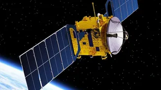
satellites have revolutionised volcanology by providing a constant stream of data from space. This remote sensing allows scientists to track subtle but critical changes that can precede or accompany an eruption. The four main phenomena observed from space are ground deformation, gas emissions, thermal anomalies (hot spots), and ash plumes. This technology is not only safer but also provides a comprehensive view of an entire volcanic system that point-based ground sensors cannot capture.
Seeing Through Clouds with Radar
One of the most powerful tools for tracking volcanic slopes is a technique called Interferometric Synthetic Aperture Radar, or InSAR. Unlike regular optical cameras that need clear skies, radar satellites can 'see' through clouds, darkness, and ash plumes. An InSAR satellite sends radar pulses to the ground and records the returning signals. By comparing two images taken at different times, scientists can detect tiny changes in the ground's height with millimetre-level precision. If magma begins to swell beneath a volcano, the ground surface will bulge upwards, like a balloon inflating. InSAR can map this swelling, providing a crucial warning that a volcano is becoming more active. This was famously used to detect an unexpected bulge near the Three Sisters volcanoes in Oregon, prompting closer monitoring.
Taking a Volcano's Temperature
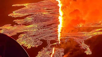
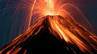
Beyond seeing the shape of the land change, satellites can also take a volcano's temperature. Instruments like NASA's ASTER and MODIS are equipped with thermal infrared sensors that detect heat radiating from the Earth's surface. Before an eruption, magma moving closer to the surface can cause a subtle increase in ground temperature. Satellites can flag these 'hot spots' that are invisible to the naked eye. During an eruption, these sensors can track the flow of lava and measure its temperature, helping to assess the immediate hazard. This information is vital for observatories worldwide, which use automated systems like MIROVA to detect and quantify these thermal anomalies in near real-time across hundreds of volcanoes.
Tracking Gas and Ash Plumes
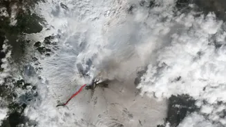
When a volcano erupts, the most far-reaching hazard is often the plume of ash and gas shot into the atmosphere. These plumes can disrupt air travel and affect air quality over vast areas. Satellite instruments are designed to identify the specific gases released by volcanoes, such as sulphur dioxide (SO2), which can indicate that fresh magma is rising. During an eruption, like that of Iceland's Eyjafjallajökull in 2010, satellite imagery becomes essential for Volcanic Ash Advisory Centres (VAACs). They use animated sequences of images to track the movement and spread of ash clouds, issuing warnings to aircraft and communities downwind.
Mapping Long-Term Crater Evolution
The use of satellite imagery extends beyond active eruptions to the long-term study of craters, both volcanic and those caused by meteorite impacts. High-resolution radar and optical images allow geologists to create detailed 3D models of these features. By comparing images taken over months or years, they can monitor gradual changes like erosion, landslides along crater walls, or the collapse of a caldera floor after a magma chamber drains. For example, satellite data was used to study the progressive collapse of the crater at Nyiragongo volcano after its lava lake drained during a 2021 eruption. This data provides invaluable insights into the structural stability of these landforms and the hazards they might pose.