



The High Cost of Being Too Slow
Every year, headlines paint a familiar, grim picture of communities ravaged by wildfires. The economic toll is staggering, with suppression efforts and property damage running into billions of dollars annually. Beyond the financial cost, these fires devastate
ecosystems, harm air quality for millions, and tragically, can lead to loss of life. For decades, the core principle of firefighting has been rapid response, but that response can only begin after a fire is detected. Traditionally, this has relied on a patchwork of systems: civilian reports, watchtowers staffed by lookouts, and occasional patrols by aircraft. While these methods have been crucial, they have inherent limitations. Reports can be delayed, lookout towers have a limited field of view, and aerial surveillance is expensive and cannot operate 24/7 or in all weather conditions.
The Old Eyes in the Sky
For years, we have used satellites to monitor weather and environmental conditions, including fires. Geostationary (GEO) satellites, like those operated by NOAA, orbit far from Earth and stare at the same hemisphere continuously. They provide constant coverage but at a low resolution, meaning they can typically only spot large fires that are already well-established. At the other end of the spectrum are Low Earth Orbit (LEO) satellites, which fly much closer to the planet and can see in greater detail. However, a single LEO satellite might only pass over a specific point on Earth once or twice a day, leaving significant gaps in coverage during which a small fire can explode into an inferno. These gaps, particularly in the afternoon when fire activity is often at its peak, have been a major challenge for fire managers.
A New Constellation of Fire Spotters
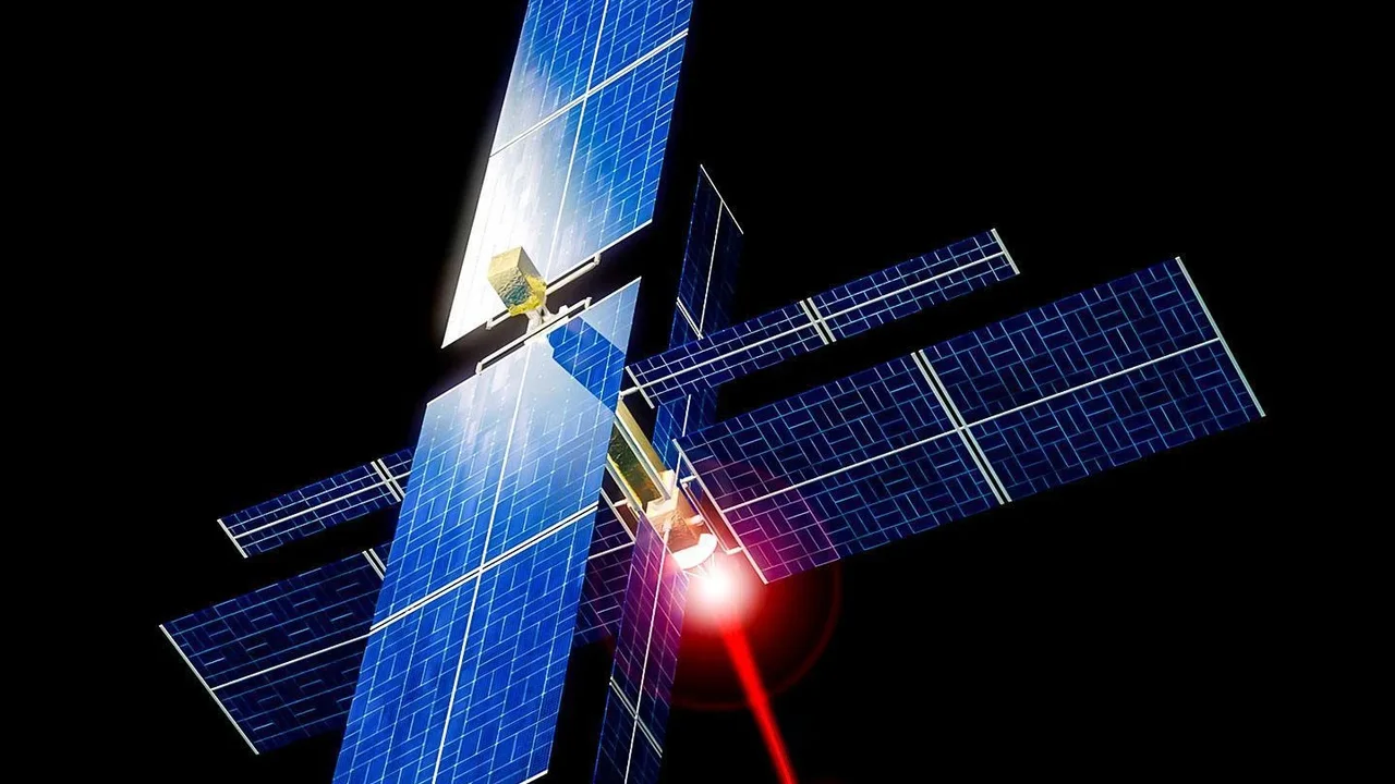
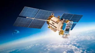
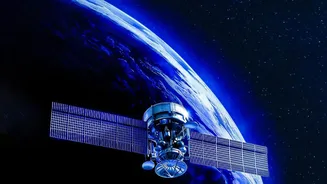
The "FireSat" concept represents a paradigm shift. Rather than relying on general-purpose satellites, companies and organizations are now deploying dedicated constellations designed specifically for wildfire detection. One of the key players is the FireSat program, a global initiative led by the nonprofit Earth Fire Alliance in collaboration with partners like Google and satellite manufacturer Muon Space. The plan involves a network of dozens of small satellites in Low Earth Orbit. By having many satellites working together, the time between observations—known as the revisit rate—can be slashed from hours to under 20 minutes. This frequent coverage dramatically increases the odds of spotting a fire in its critical infancy.
How to Spot a Tiny Fire From Space
These new satellites are equipped with highly sensitive thermal infrared sensors. Instead of looking for smoke, which can be obscured by clouds or difficult to spot at night, these sensors look for heat. They can detect the unique thermal signature of a fire, even one as small as 5x5 meters—about the size of a classroom. Once a hotspot is detected, the work has just begun. The satellite uses onboard artificial intelligence to analyze the data, comparing it with previous images and filtering out false positives like hot rooftops or solar panels. If the system confirms a fire, it automatically calculates the coordinates and sends an alert to fire agencies on the ground. The entire process, from initial detection in orbit to an actionable alert in a fire chief's hands, is designed to take just a few minutes.
The Mission Is Underway
This isn't just a theoretical concept; the technology is already being deployed. The first prototype FireSat satellite launched in March 2025, successfully proving the system could detect small, low-intensity fires that were invisible to existing satellite systems. Building on that success, the first three operational FireSat satellites were launched in the summer of 2026. These are just the beginning, with the full constellation expected to be deployed over the next several years. Other companies, like the German-based OroraTech, are also launching their own constellations with similar goals, creating a global network of eyes dedicated to spotting fires before they can spread.
Challenges and the Path Forward
Despite the promise, challenges remain. The vast amount of data generated by these constellations needs to be processed and integrated seamlessly into the command systems of thousands of different fire agencies. Cloud cover can still obscure the view from space, meaning satellites are best used as part of a layered approach that also includes ground cameras and aircraft. Some researchers are even developing AI that would allow the satellites to reposition themselves to get better and more frequent views of a confirmed blaze, a concept that could further enhance their effectiveness. Ultimately, these systems will not replace firefighters, but they will give them a powerful new tool.