






India's Answer to GPS
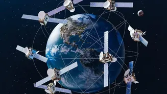
The critical national service in question is NavIC, which stands for Navigation with Indian Constellation. Developed by the Indian Space Research Organisation (ISRO), NavIC is India’s very own regional satellite navigation system, an indigenous alternative
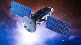
to the American GPS, Russia’s GLONASS, or Europe’s Galileo. It was created to give India strategic autonomy, ensuring that critical navigation services are always available for both civilian and military use, without depending on foreign systems that could be denied in times of conflict. The system is designed to provide accurate real-time positioning and timing services across India and a region extending up to 1,500 kilometres beyond its borders. This has wide-ranging applications, from guiding commercial vehicles and ships to assisting in disaster management and providing precise timing for financial and power grid operations.
A Constellation in Need of Reinforcement
The original NavIC constellation, initially called the Indian Regional Navigation Satellite System (IRNSS), relied on a fleet of first-generation satellites. However, this fleet has faced significant challenges over the years. The most persistent issue has been the failure of the imported rubidium atomic clocks on board several of the original satellites. These clocks are the heart of any navigation satellite; they provide the ultra-precise time measurements needed to calculate a user's exact position. When these clocks fail, the satellite can no longer provide navigation services. Due to these failures, the number of fully operational satellites in the NavIC constellation has dwindled, falling below the minimum of four required to provide standalone positioning services. This has left India’s homegrown navigation system in a weakened state, unable to function independently and relying on other global systems to work.
The Next Generation Arrives
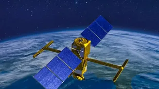
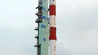
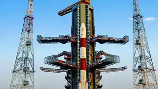
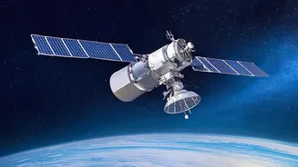
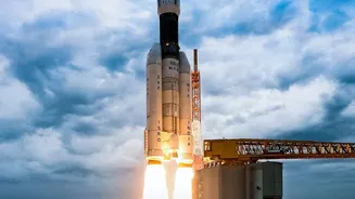
The GSLV-F18 mission carrying the NVS-03 satellite is a crucial step in revitalizing the NavIC system. NVS-03 is part of the second generation of NavIC satellites, designed to be more robust and feature-rich than their predecessors. A key upgrade in the NVS series is the inclusion of an indigenously developed rubidium atomic clock. This marks a major step towards self-reliance, addressing the very problem that plagued the first generation of satellites. By developing this critical technology in-house, ISRO aims to ensure the long-term health and reliability of the constellation. Furthermore, the new NVS satellites also broadcast on the L1 frequency band, which is commonly used by global navigation systems. This enhancement is aimed at making it easier for manufacturers to integrate NavIC compatibility into mass-market consumer devices like smartphones.
Why Self-Reliance in the Sky Matters
Having a sovereign navigation system is about more than just convenience; it's a matter of national security and economic stability. The Kargil War in 1999 is often cited as a key motivation for NavIC, after India's request for GPS data for the region was reportedly denied. An independent system like NavIC ensures that India's military can operate with precision-guided munitions and troop movements without external dependency. For civilians, it means a more reliable service tailored to the Indian region. NavIC satellites are in geosynchronous orbits, meaning they appear to be stationary in the sky from the ground. This allows their signals to reach India at a steeper angle, improving reception in dense urban areas, forests, and mountainous terrain where GPS signals can struggle. As the GSLV-F18 prepares for its launch, it carries the promise of not just a satellite, but the continued strength of a system vital for a self-reliant India.