


The Spectre of the Himalayas
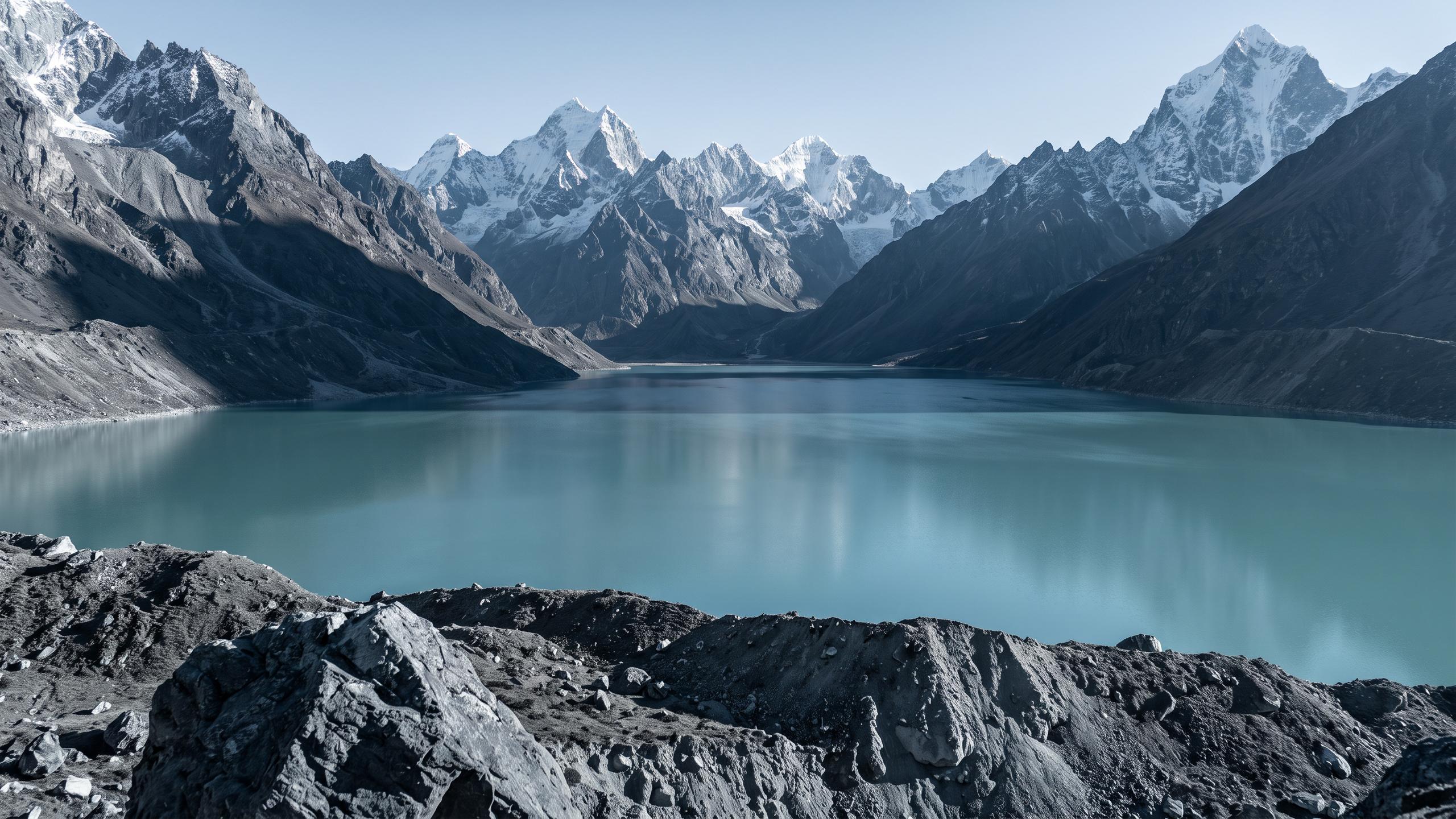
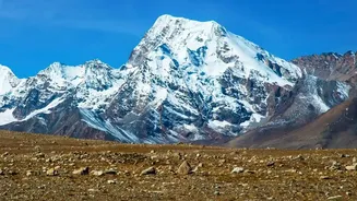
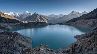
When you picture a Himalayan flood, the image that likely comes to mind is a catastrophic Glacial Lake Outburst Flood, or GLOF. This is when a lake formed by melting glaciers, held back only by a fragile wall of rock and ice, suddenly bursts. The result
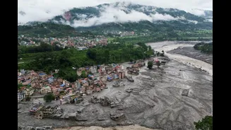
is an inland tsunami of water, mud, and boulders that can obliterate anything in its path. This fear is not unfounded. Events like the devastating flash flood of August 2026, which scientists preliminarily linked to a massive chunk of a glacier collapsing and temporarily damming a river, show the explosive power of these high-altitude hazards. With climate change accelerating glacial melt, Nepal has identified dozens of potentially dangerous glacial lakes, turning the peaks of the Himalayas into a source of constant anxiety for downstream communities. For years, monitoring these specific, high-risk lakes was seen as the primary frontier in Nepal’s battle against floods.
An Enduring Problem in the Plains
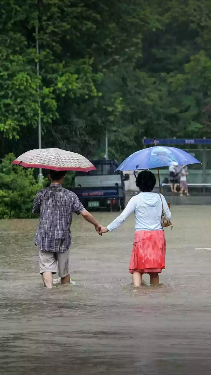
While the dramatic GLOFs captured global attention, a different, more chronic story was unfolding in Nepal’s mid-hills and southern Terai plains. Year after year, the monsoon season brings a familiar cycle of destruction. Rivers like the Koshi, which flows from Nepal into India and is known as the ‘Sorrow of Bihar,’ swell with rain, bursting their banks, inundating vast swathes of farmland, and displacing hundreds of thousands of people. Unlike the sudden shock of a GLOF, these monsoon floods are a slow, grinding disaster. They are driven by intense, prolonged rainfall combined with heavy sediment loads that raise riverbeds, making flooding more frequent and severe. Between 1954 and 2018, floods in Nepal caused thousands of fatalities and affected over six million people, with the economic toll running into the billions. The persistent question for scientists and policymakers was whether the focus on GLOFs was obscuring the bigger picture.
The Data Tells a New Story
The big shift in understanding came not from a single event, but from a quiet revolution in how scientists analysed the problem. By using decades of satellite imagery, advanced computer modeling, and comprehensive historical data, researchers began to piece together a more complete flood history. This new, data-driven approach revealed a crucial insight. While GLOFs are exceptionally destructive, they are relatively rare compared to the widespread flooding caused by extreme monsoon precipitation. One study of Nepal’s three major river basins found that over 90% of extreme flood events occurred during the monsoon, with August being the peak month. The analysis showed that the most consistent and widespread risk to life and property wasn't from a handful of unstable lakes in the mountains, but from the sheer volume of water falling from the sky across the entire country.
Rethinking Risk and Resilience
This revised understanding is forcing a fundamental shift in Nepal's approach to flood management. If the primary threat is extreme, widespread rainfall, then solutions must also be widespread. The strategy can no longer be limited to attempting engineering works on a few remote glacial lakes. Instead, the focus is expanding to a more holistic, country-wide system of resilience. This includes building more robust early warning systems for extreme rainfall, not just for river levels. It means implementing better land-use planning to prevent construction in vulnerable floodplains and managing deforestation which can worsen runoff. It also highlights the need for community-based disaster preparedness, empowering local populations with the knowledge and resources to react when floods inevitably come. For both Nepal and its downstream neighbours like India, this data-led reassessment provides a clearer, albeit more challenging, roadmap for navigating a future of increasing climate uncertainty.