


The Challenge on the Ground
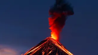
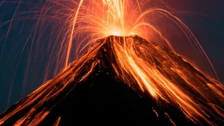
For centuries, studying active lava flows was a perilous task. Volcanologists had to rely on ground-based observations, often getting dangerously close to superheated, unpredictable rivers of rock. These methods, while valuable, are limited by accessibility,
hazardous volcanic gases, and the sheer scale of a major eruption. A scientist on a ridge can only see so far, and in many cases, the most critical volcanic activity happens in remote, inaccessible locations. This made creating timely and accurate maps for emergency responders a monumental challenge, often resulting in information that was outdated by the time it could be safely gathered and distributed.
Eyes in the Sky
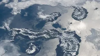
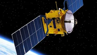
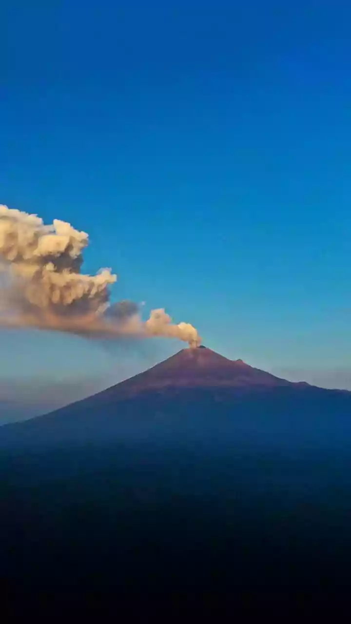
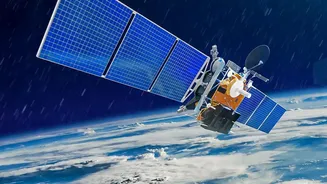
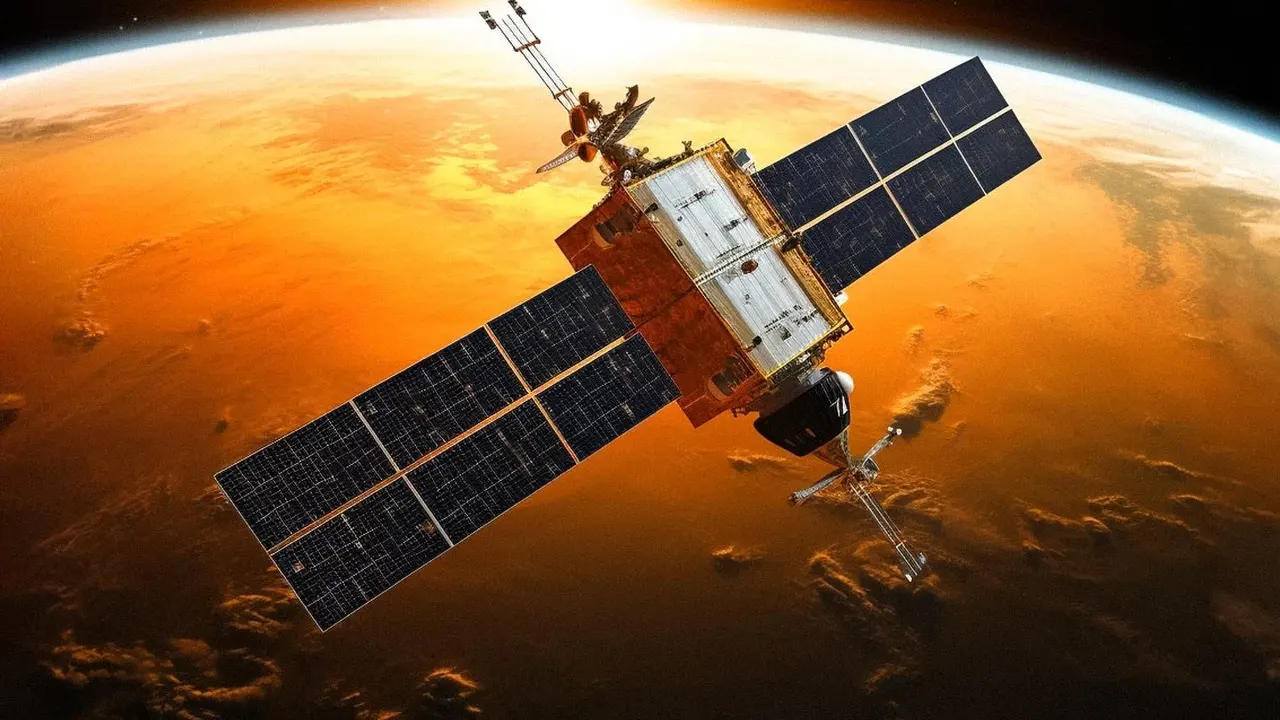
Today, the game has completely changed thanks to an array of sophisticated sensors orbiting our planet. Satellites operated by agencies like NASA and the European Space Agency (ESA) provide a constant watch over Earth's more than 1,500 potentially active volcanoes. These orbital platforms can gather vast amounts of data over large areas, day or night, without putting a single person at risk. They offer a synoptic view that ground crews could only dream of, capturing the big picture of an eruption as it unfolds and enabling scientists to track everything from lava flows to ash plumes.
The Power of Thermal Imaging
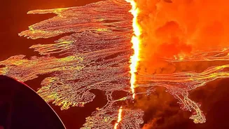
One of the most intuitive tools for tracking lava is thermal imaging. Instruments like the Moderate Resolution Imaging Spectroradiometer (MODIS) on NASA's Terra and Aqua satellites, or the Advanced Spaceborne Thermal Emission and Reflection Radiometer (ASTER), can detect heat signatures on the Earth's surface. Active lava flows, with temperatures exceeding 1,000°C, glow brightly in these infrared images. This allows scientists to see exactly where the hottest, most active parts of the flow are, measure its speed, estimate the volume of erupting lava, and predict its likely path—critical information for any evacuation effort. Systems like MODVOLC automatically scan these images to detect volcanic hot spots anywhere in the world within hours.
Seeing Through Clouds and Ash
While thermal and visual cameras are powerful, they have an Achilles' heel: clouds. Volcanic eruptions often generate thick plumes of ash and steam, and bad weather can obscure the view from space for days. This is where Synthetic Aperture Radar (SAR) becomes indispensable. SAR satellites, such as those in the Copernicus Sentinel constellation, don’t take pictures using light. Instead, they bounce a radar signal off the ground and measure the reflection. This signal can penetrate clouds, ash, and darkness, providing an uninterrupted view of the surface. The rough, blocky texture of a new lava flow scatters the radar signal very differently than the surrounding landscape, making it stand out clearly in the resulting imagery.
Mapping Change with Unblinking Precision
SAR technology is also exceptionally good at detecting change. By comparing two radar images of the same area taken at different times—a technique called interferometry (InSAR)—scientists can identify subtle shifts in the landscape. A new lava flow dramatically alters the surface, causing a loss of coherence between the before-and-after images, which precisely outlines the flow's boundaries. This technique has been used to map eruptions with stunning accuracy, from the 2018 Kīlauea eruption in Hawaii to recent events in Iceland. It can even detect the ground swelling as magma accumulates beneath a volcano, providing a potential warning sign of an impending eruption.