








Understanding NavIC’s Role
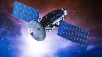
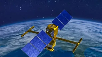
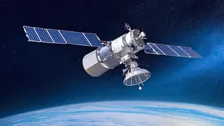
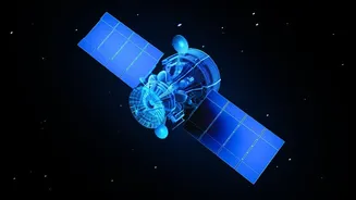
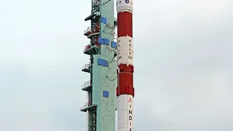
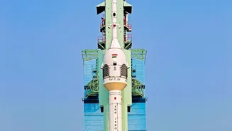
NavIC, or Navigation with Indian Constellation, is the operational name for the Indian Regional Navigation Satellite System (IRNSS). Developed by the Indian Space Research Organisation (ISRO), it was designed to provide accurate, real-time positioning
and timing services for India and a region extending about 1,500 kilometers beyond its borders. The primary goal was strategic autonomy. During the 1999 Kargil War, India’s access to the US-owned GPS was denied, highlighting the urgent need for a sovereign navigation system. NavIC ensures that India's military and civilian services, from missile guidance to disaster management, are not dependent on foreign systems that could be restricted or denied during geopolitical conflicts.
A Constellation Facing Hurdles
The original NavIC constellation was designed to have seven active satellites. However, the system has faced significant challenges. A number of the first-generation IRNSS satellites, which had a planned mission life of 10 years, suffered from failures in their imported rubidium atomic clocks. These clocks are the heart of any navigation satellite, providing the ultra-precise timekeeping needed to calculate an accurate position on the ground. Due to these failures and the end of mission life for older satellites, the NavIC constellation currently has only three satellites fully available for positioning services. This is one short of the minimum of four satellites required for standalone positioning, effectively leaving the service inactive for navigation.
The NVS-03 Mission to the Rescue
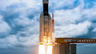
The upcoming launch of NVS-03, scheduled for mid-October 2026, is a crucial step to address this shortfall. NVS-03 is a second-generation satellite designed to augment and eventually replace the older ones. Its successful deployment will restore the four-satellite minimum, reactivating NavIC’s standalone positioning capabilities. This mission is especially critical following the failed launch of NVS-02 in January 2025. A successful NVS-03 launch will not only replenish the constellation but also validate the corrective measures ISRO has implemented since the previous mission failure.
Upgraded Technology for a Modern Era
The NVS series represents a significant technological leap. One of the most important upgrades is the inclusion of an indigenously developed rubidium atomic clock. Developed by the Space Applications Centre in Ahmedabad, this home-grown clock is expected to be more reliable than the imported ones that plagued the first-generation satellites. Another major enhancement is the addition of a new L1 frequency band for civilian signals, alongside the existing L5 and S bands. The L1 band is the most common frequency used by civilian GPS receivers worldwide, including those in smartphones and wearable devices. Its inclusion in NavIC will make it far easier for manufacturers to create dual-use devices that can seamlessly switch between GPS and NavIC, driving wider adoption among the public.
Why a Stronger NavIC Matters for India
Restoring the NavIC constellation is about more than just national pride. For the armed forces, it means having a secure, encrypted navigation service for guiding missiles, coordinating troop movements, and directing warships and aircraft, free from foreign interference. For civilians, it supports a vast range of applications: enabling vehicle tracking systems now mandatory in commercial vehicles, aiding fishermen with alerts and navigation, improving transportation efficiency, and assisting in disaster relief operations. A fully functional NavIC with a specified accuracy of better than 20 meters ensures that India's critical infrastructure has a reliable backbone.