





What is NavIC, Anyway?
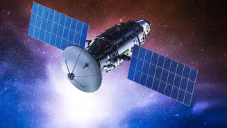
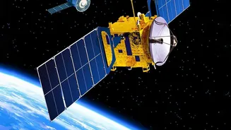
NavIC, short for Navigation with Indian Constellation, is an independent regional navigation satellite system developed by the Indian Space Research Organisation (ISRO). Conceived after the 1999 Kargil War, when access to foreign-owned GPS data was denied,
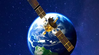
NavIC was designed to give India strategic autonomy. It provides two main services: a Standard Positioning Service (SPS) for all civilian users and an encrypted Restricted Service (RS) for authorised users like the military. The system is designed to provide coverage over the Indian mainland and a region extending about 1,500 kilometres beyond its borders, offering potentially greater accuracy in this zone than global systems.
A Constellation Under Strain
Despite its strategic importance, NavIC has faced significant hurdles. A navigation system needs a minimum of four operational satellites to provide accurate, standalone positioning services. However, due to the aging of first-generation satellites and a launch failure in January 2025 (NVS-02), the NavIC constellation has recently fallen to just three operational satellites. This has rendered its standalone positioning service inactive, though its timing service remains functional. This shortfall means that for critical applications, including military use, NavIC cannot currently function without support from other global navigation systems, undermining its core purpose of self-reliance.
The October Lifeline: NVS-03
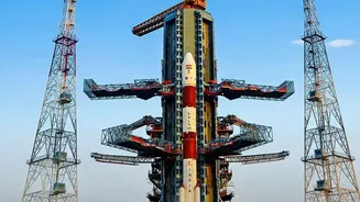
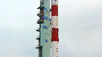
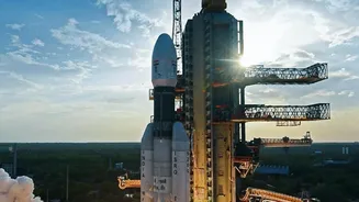
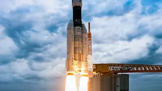
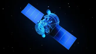
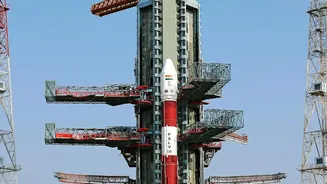
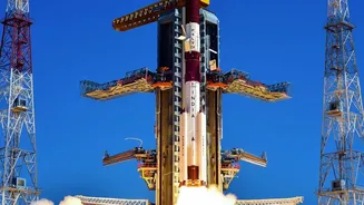
This brings us to the critical turning point in October. ISRO is targeting the launch of a new navigation satellite, NVS-03, between October 15 and 20. This mission is crucial because a successful launch would restore the minimum four-satellite quorum needed to reactivate NavIC’s standalone positioning services for both civilian and military users. The launch is not just about adding a number; it is about restoring the system's fundamental capability. It follows the failure of the NVS-02 satellite in early 2025, and ISRO has since implemented corrective measures to ensure this mission's success. The successful deployment of NVS-03 would be a significant step in rebuilding the constellation and restoring confidence in the system.
The Bigger Picture: L1 Frequency and Mainstream Adoption
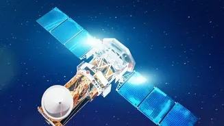
Beyond just restoring basic service, the new generation of NVS satellites, including NVS-03, carries another game-changing feature: the L1 frequency band. This is one of the most common frequencies used by global navigation systems like GPS. The original NavIC satellites operated on the L5 and S bands, which required phone manufacturers to add extra hardware, increasing costs and slowing adoption. By adding the L1 signal, new NavIC satellites make it much easier and cheaper for companies to integrate NavIC support into standard smartphones and other devices. This technical upgrade aligns perfectly with the Indian government's push to make NavIC support mandatory in all smartphones sold in the country by the end of 2025, a move that could finally bring NavIC into the daily lives of millions.
What This Means For India
The success of the October launch and the broader rollout of L1-equipped satellites represent more than just a technical achievement. For the armed forces, a fully functional NavIC means having a secure, uncompromised navigation system that cannot be denied during a conflict—a crucial element of modern warfare. For consumers and businesses, wider adoption will spur innovation in logistics, public transport, disaster management, and location-based services, leveraging NavIC's superior accuracy in the Indian region. Ultimately, a robust NavIC system is a cornerstone of the 'Aatmanirbhar Bharat' vision, reducing dependence on foreign technology and establishing India as a major player in the global space and technology landscape.