





The Moon’s Navigation Problem
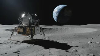
For the ambitious goals of the Artemis program, which aims to establish a long-term human presence on the Moon, the old ways of navigating simply won’t cut it. During the Apollo era, missions targeted the relatively flat, well-lit equatorial regions.
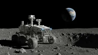
But the scientific prizes of this new era—like water ice—are hidden in the most dangerous places, particularly the permanently shadowed craters of the lunar south pole. This region is a land of extremes, with rugged terrain, pitch-black shadows that hide deep craters, and temperatures cold enough to freeze equipment solid. Furthermore, there is no GPS system on the Moon. Astronauts and rovers have historically relied on complex, slow communication with Earth-based mission control for positioning. This method is not only cumbersome but becomes impossible in areas like the far side or the poles, where there is no direct line of sight to Earth. For a sustainable lunar base, explorers need a way to know where they are in real-time, just like we do on Earth.
A 'Lighthouse' for the Moon
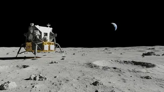
To solve this, NASA is developing a suite of technologies designed to create a localized navigation network for the Moon. One key experiment is the Lunar Node-1 (LN-1) beacon, a small, autonomous navigation payload. Think of it less like a satellite network and more like a series of lighthouses on the lunar surface. Developed at NASA's Marshall Space Flight Center, LN-1 is a radio beacon designed to broadcast a signal that other spacecraft, landers, or even astronauts can use to pinpoint their position relative to the beacon. By placing a network of these nodes across the Moon, NASA can create a local web of navigation signals, allowing for precise, autonomous positioning without relying on constant contact with Earth. The LN-1 experiment was tested as part of Intuitive Machines' IM-1 mission in early 2024, successfully transmitting its signal from the lunar surface and proving the core concept.
Extending GPS to Lunar Distances
While surface beacons are one part of the solution, another is extending the reach of systems we already use. NASA is also working on ultra-sensitive receivers that can pick up the faint signals from Earth's Global Navigation Satellite Systems (GNSS), such as GPS and Galileo, at lunar distances—some 240,000 miles away. A recent milestone in this effort was the delivery of the NavCube3-mini to the commercial company Intuitive Machines in July 2026. This compact receiver, about half the size of a shoebox, will be integrated into the Altus-1 lunar communications satellite, scheduled to launch later in the year. Once in lunar orbit, Altus-1 will use the NavCube3-mini to autonomously determine its own position. This satellite will then act as a relay, providing both communication and navigation services for assets on the lunar surface, especially in the hard-to-reach South Pole region.
The Future of Lunar Exploration
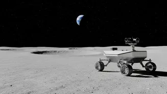
These navigation technologies are foundational to everything NASA hopes to achieve with the Artemis program. Safer and more precise landings are just the beginning. Technologies like the Navigation Doppler Lidar (NDL), which performed beautifully on a 2024 mission despite the lander ultimately tipping over, can guide spacecraft to a gentle touchdown, avoiding hazards like boulders and steep crater rims. An autonomous lunar navigation network will allow rovers to travel farther and faster, exploring vast new territories without human controllers guiding their every move. Astronauts on spacewalks could have a 'blue dot' on a map of their own, greatly enhancing their safety and efficiency. This infrastructure is a critical step towards building a sustainable lunar economy, where commercial companies like Intuitive Machines provide essential services like communications and navigation, supporting science, exploration, and eventually, industry on the Moon.