






The River's Journey, The Nation's Worry
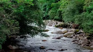
Several of India’s most vital and volatile rivers do not begin within its borders. The Brahmaputra, known as the Yarlung Tsangpo in Tibet, originates in China. The Kosi, notorious as the 'Sorrow of Bihar', starts its journey in Nepal and Tibet. The Sutlej
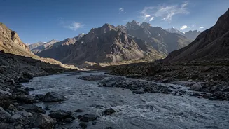
also flows from China into Himachal Pradesh and Punjab. This simple geographical fact is the foundation of a complex problem. Hydrologically, nations are interconnected. When heavy rains, melting snow, or other events occur upstream in another country, the consequences flow downstream into the floodplains of states like Assam, Bihar, and Uttar Pradesh, often with devastating results.
More Than Just Monsoon Rains
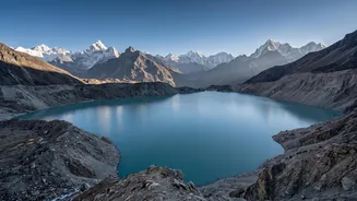
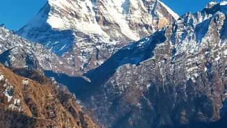
While erratic and intense monsoons are a major cause of flooding, the Himalayan ecosystem presents unique and growing threats. One of the most severe is the Glacial Lake Outburst Flood (GLOF). As climate change accelerates the melting of glaciers, vast lakes form, often held back only by unstable natural dams of rock and debris called moraines. These can breach suddenly, releasing a catastrophic torrent of water and debris. The deadly flash flood in Nepal in August 2026 and the 2023 South Lhonak Lake disaster in Sikkim are stark reminders of this danger. Scientists have identified dozens of potentially dangerous glacial lakes across the Himalayas that pose a threat to downstream Indian communities.
A Geopolitical Data Deficit
Managing flood risk on these shared rivers requires cooperation, particularly the sharing of hydrological data about water levels and flow. While India has agreements with Nepal and Bhutan, the relationship with upstream China is more fraught. China has built several large dams on the Brahmaputra and plans a 'super dam' at Medog, near the Indian border. The uncoordinated release of water from these dams, especially during the monsoon, could worsen floods in Assam. While Memorandums of Understanding (MoUs) for data sharing exist, they are not legally binding and have been suspended in the past during periods of diplomatic tension, leaving India’s early-warning systems partially blind. India continues to press China for more consistent and transparent data sharing.
Downstream Devastation in Assam and Bihar
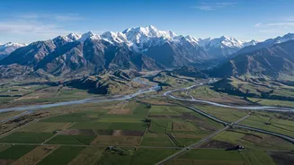
For the millions living in the floodplains of Bihar and Assam, this combination of geography, climate, and politics translates into an annual cycle of crisis. The Kosi River is infamous for carrying an immense sediment load, which raises the riverbed and makes it prone to breaching its embankments and carving new channels, as it did in the devastating 2008 Kusaha flood. In Assam, the Brahmaputra regularly overflows, causing widespread death, displacing hundreds of thousands, and eroding valuable land. These recurring disasters inflict immense economic losses and human suffering, turning the life-giving rivers into a source of yearly anxiety and loss.
Climate Change: The Threat Multiplier
Climate change is intensifying every aspect of this threat. Rising global temperatures are causing Himalayan glaciers to retreat at an alarming rate, which not only increases the long-term risk of GLOFs but also alters seasonal river flows. Monsoons are becoming more erratic, with longer dry spells punctuated by bursts of extreme rainfall that overwhelm river systems. This combination of factors destabilises slopes, leading to more landslides that can temporarily dam rivers and create further flood risks. The fragile Himalayan ecosystem is a global climate hotspot, and its instability directly translates to heightened danger for downstream India.