






The Mountain's Water Bank
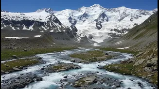
The vast, snow-covered peaks of the Himalayas act as a natural water tower for a significant part of Asia. For India, rivers like the Ganga, Indus, and Brahmaputra owe their perennial flow to the seasonal melting of this snow. This snowpack is essentially
a massive, frozen savings account for water, storing precipitation during the cold winter months. As temperatures rise in spring and summer, this snow melts and cascades downstream, feeding rivers at the precise time when the dry season reduces other water sources. This meltwater is the lifeline for hundreds of millions of people, sustaining agriculture, providing drinking water, and powering hydroelectric plants across the northern plains. However, the stability of this critical resource is under threat from climate change, making it more important than ever to accurately measure and understand it.
A New View from Above
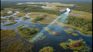
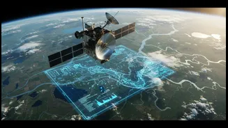
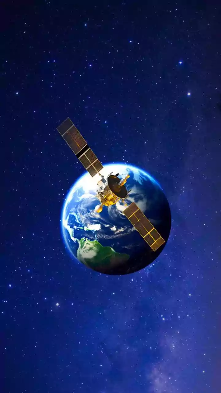
For decades, accurately measuring the amount of water stored in mountain snow has been a monumental challenge. Ground-based measurements are sparse and can't capture the vastness of ranges like the Himalayas. This is where Earth observation comes in. Using a suite of advanced satellites, scientists can now get a comprehensive picture from space. Instruments like optical satellites provide detailed imagery of the snow-covered area, while radar can penetrate the snow to gauge its structure and wetness. Some advanced sensors can even estimate something called Snow Water Equivalent (SWE), which is the measure of how much water would be produced if the entire snowpack melted at once. These technologies operate day and night, regardless of cloud cover, providing a continuous stream of data that was previously impossible to collect.
Connecting Snowfall to River Flow
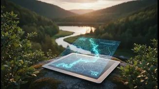
The latest research uses this wealth of satellite data to build sophisticated models that directly link the volume of snow in the mountains to the amount of water flowing in rivers downstream. By comparing satellite-derived SWE measurements with actual river discharge data over several seasons, scientists have established clear correlations. For instance, studies can now predict how a less-than-average winter snowfall might lead to reduced river flows during the critical summer growing season. These models are a significant leap from older forecasting techniques, which relied more on historical averages that are becoming less reliable in a changing climate. This new capability allows for more precise hydrological forecasting, turning satellite images into actionable intelligence for water managers on the ground.
Why This Matters for India
The implications of this technology for India are immense. With the Himalayan glaciers retreating and snowfall patterns becoming more erratic, the nation faces a dual threat of short-term floods from rapid melting and long-term water scarcity. Having accurate forecasts allows for better management of dams and reservoirs, helping to mitigate flood risks and ensure a steady supply for cities and industries. For agriculture, which employs a vast portion of the population and depends heavily on meltwater for irrigation, these forecasts can inform planting decisions and help manage for potential droughts. The joint NASA-ISRO Synthetic Aperture Radar (NISAR) mission, a powerful satellite partnership, is set to provide even more detailed and frequent data specifically tailored to monitoring changes in the cryosphere, including the Himalayas. This will be a game-changer for India's ability to monitor its water resources from the source.
The Future of Water Forecasting
As satellite technology continues to advance, so too will our ability to manage our most precious resource. The goal is to move from reactive crisis management to proactive planning. By integrating data from multiple satellite systems—including optical, radar, and gravimetric measurements—future models will become even more accurate. This 'portfolio' approach, combining different technologies, is seen as the most robust way forward. For a country as populous and as reliant on seasonal water as India, harnessing this view from space isn't just a scientific achievement; it's a critical tool for building resilience. It offers the promise of securing water for future generations, ensuring that farms can be irrigated, taps don't run dry, and the nation's economic engines have the power they need to thrive in the face of environmental change.