
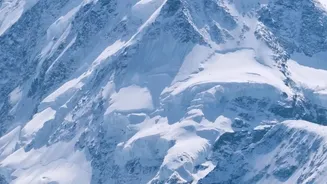
A Mountain in Motion
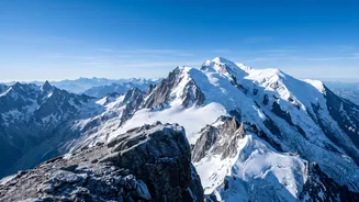
Unlike a static rocky peak, the summit of Mont Blanc is a thick cap of ice and snow sitting atop the rock. This snowy dome's height changes depending on the year's precipitation and high-altitude winds. Strong winds can scour snow off the summit, while
heavy snowfall can add to its height. This is why, since 2001, a team of expert surveyors from France’s Haute-Savoie region has undertaken a biennial mission to measure the peak, creating a crucial data set for future generations of scientists. The goal is to track these fluctuations and build a model of the ice cap.
The Biennial Expedition
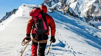
Around mid-September every two years, a team of roughly 20 surveyors and mountain guides makes the arduous climb. They carry about 30 kilograms of high-tech measuring equipment in addition to their standard mountaineering gear. The expedition itself is a testament to human endurance, requiring a long ascent to the summit, where they will spend hours in polar-like conditions to gather their precise data. The process is a fascinating blend of old-school alpinism and 21st-century technology, all to determine a single, ever-changing number.
Boots on the Ground, Satellites in the Sky
The first part of the process involves traditional surveying, but with a modern twist. The team uses Global Navigation Satellite System (GNSS) receivers—a highly precise version of GPS. They plant these receivers at various points on the summit to record signals from satellites. This allows them to determine the exact altitude of the snow's surface with centimetre-level accuracy. This measurement gives them the 'official' height of the mountain as it stands at that moment, snow and all. The latest measurement, taken in September 2026, put the summit at 4,807.47 metres.
Enter the Drones and Radar
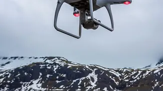
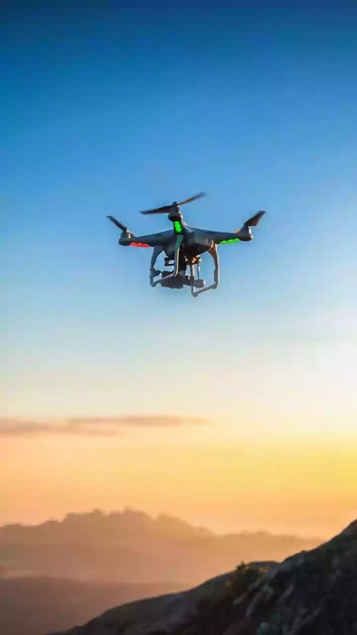
To understand what's happening beneath the surface, the team deploys more advanced tools. For the first time in recent expeditions, a drone was used. The drone flies a pre-programmed grid pattern over the summit, capturing thousands of images to create a detailed 3D model of the snowpack. More importantly, the expedition uses ground-penetrating radar (GPR). This technology sends signals through the ice cap to detect the solid rock below. By measuring the time it takes for the radar signal to bounce back, scientists can calculate the exact thickness of the snow and ice covering the mountain.
Two Summits, One Mountain
The combination of these technologies reveals that Mont Blanc effectively has two summits. There is the snowy summit, which is what we see and what climbers stand on, and its height fluctuates significantly. In 2023, it was measured at a recent low of 4,805.59 metres, but in the latest 2026 measurement, it was nearly two metres higher at 4,807.47 metres. Then there is the rocky peak, which is stable. The radar data reveals this rock summit is about 4,792 metres high and is located about 40 metres away from the highest point of the snow. This means the mountain's highest point is a shifting dome of ice, not solid ground.
More Than Just a Number
While it's tempting to link every drop in height to climate change, the surveyors and glaciologists are cautious. They stress that short-term fluctuations are mainly driven by weather patterns like wind and snow accumulation at that specific altitude. An increase in height doesn't necessarily mean the mountain has gained ice mass overall. Scientists say it could take up to 50 years of continuous measurement to draw firm conclusions about the impact of global warming on the summit itself. However, the data gathered provides an invaluable record for tracking the long-term health of this iconic Alpine environment.