







What is NavIC and Why Does It Matter?
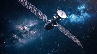
NavIC, which stands for Navigation with Indian Constellation, is India’s homegrown answer to the American GPS. Developed by the Indian Space Research Organisation (ISRO), it's a regional satellite navigation system designed to provide accurate positioning,
navigation, and timing services for the country and a region extending 1,500 kilometres beyond its borders. The project was born from a strategic need for self-reliance, famously highlighted during the Kargil War when India was denied access to foreign-operated satellite data. In peacetime, relying on systems like GPS, GLONASS, or Galileo is fine. But in times of conflict, those signals can be restricted, weakened, or even faked, creating a major vulnerability for national security. NavIC ensures that India's military has a secure, sovereign system for navigating missiles, coordinating troop movements, and guiding warships. For civilians, its uses range from tracking public transport and providing disaster alerts to fishermen, to enabling location-based services on our phones.
A Constellation in Crisis
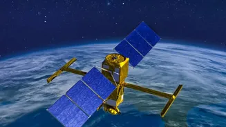
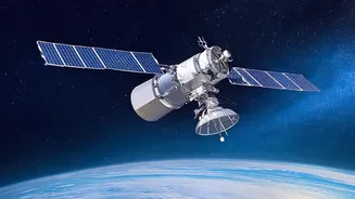
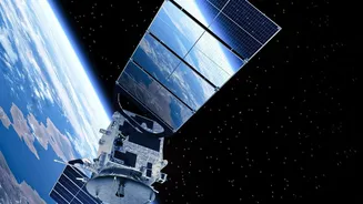
A satellite navigation system needs a minimum of four healthy satellites to accurately pinpoint a three-dimensional position on Earth. Recently, India’s NavIC system fell below this crucial threshold. The original constellation of first-generation IRNSS satellites, launched from 2013 onwards, is ageing. These satellites had a planned mission life of about 10 years, and several have been dogged by the failure of their imported rubidium atomic clocks—the ultra-precise heart of any navigation satellite. A tiny error in a satellite's clock can throw off a position calculation by hundreds of metres. As of early 2026, the failure of the clock on IRNSS-1F brought the number of fully functional positioning satellites down to just three: IRNSS-1B, IRNSS-1I, and the newer NVS-01. This has left the NavIC system unable to provide standalone positioning services, though its timing function remains active.
The Urgent Mission of NVS-03
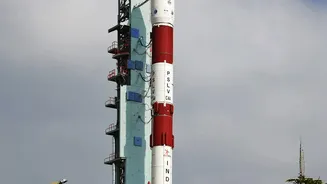
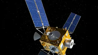
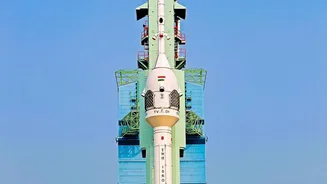
This is where the upcoming launch of NVS-03 becomes so critical. This mission, targeted for October 2026, is not about expanding NavIC’s coverage or adding revolutionary capabilities. Its primary goal is restoration: to bring the constellation back to the minimum four-satellite quorum required for navigation services to work. The launch carries extra weight following a setback in January 2025, when the NVS-02 satellite failed to reach its intended orbit due to a technical fault, leaving it unable to contribute to the constellation. NVS-03 is the next in a series of second-generation satellites designed to sustain and augment NavIC. These new satellites are heavier, have a longer mission life of over 12 years, and—most importantly—are equipped with indigenous atomic clocks developed by ISRO, a significant step toward full self-reliance. They also transmit on the L1 frequency band, which is widely used by GPS, improving interoperability and making it easier for manufacturers to produce compatible devices.
The Road to a Resilient System
The launch of NVS-03 is the first step in a broader plan to revitalise the NavIC system. Following this, ISRO has NVS-04 and NVS-05 in advanced stages of production to continue replacing the ageing first-generation satellites and build redundancy into the network. The goal is to restore the full seven-satellite base constellation, ensuring that NavIC remains a reliable and robust asset for both strategic and civilian applications. This phase of replenishment highlights a key aspect of managing complex space infrastructure. Building the system is only the first part; maintaining and upgrading it is a continuous, long-term commitment. While 'restoration' may not capture the public imagination in the same way 'expansion' does, these missions are a sign of a maturing space program dedicated to ensuring its critical assets are resilient for the decades to come.