




A Firestorm's Fury in France
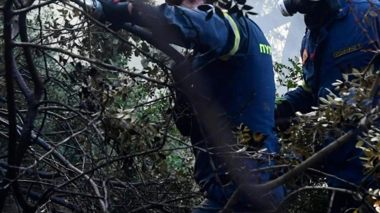
Crews across the Gironde region of Southwest France are battling an enormous wildfire that has defied conventional containment efforts. The blaze, which erupted near Saumos on July 22, has scorched hundreds of square kilometers of forest and scrubland.
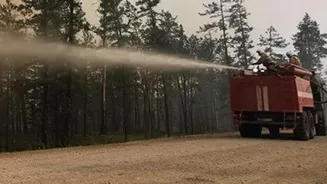
The fire's sheer scale is staggering, forcing the evacuation of over 220,000 people from their homes and holiday sites in one of France's largest-ever civilian evacuations. Homes have been destroyed and thousands of firefighters, supported by aircraft from across Europe, are engaged in a relentless struggle against a fire that has proven to be unlike anything seen before in the country.
The Science of a Fire-Breathing Cloud
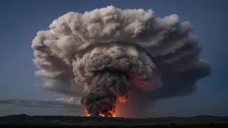
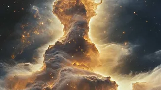
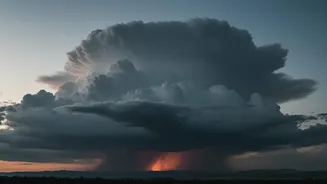
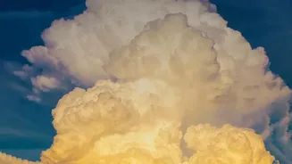
This is no ordinary wildfire. The blaze in France has become so intense that it has begun to control its own environment, a terrifying phenomenon where a fire creates its own weather system. The intense heat from the vast burning area sends a colossal column of superheated air, smoke, and ash rushing upwards into the atmosphere. As this plume rises into cooler, moister air layers, the water vapor condenses around the ash particles, forming a massive, turbulent cloud known as a pyrocumulonimbus, or pyroCb. French officials have stated this is the first time such a phenomenon has ever been recorded in the country, marking a grim milestone in their battle against wildfires.
When a Fire Makes Its Own Lightning
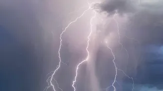
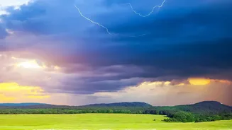
Once formed, a pyrocumulonimbus cloud behaves like a genuine thunderstorm. The violent churning of air, ice crystals, and ash particles inside the massive cloud generates enormous amounts of static electricity. This process is similar to how a regular thunderstorm builds a charge. Eventually, this energy is released in the form of lightning strikes. However, unlike a rainstorm that might help douse flames, this fire-made storm produces dry lightning. This means bolts of lightning are striking the ground miles away from the main fire, in areas already parched by drought and extreme heat, igniting new fires instantly.
An Unpredictable, Multiplying Threat
The creation of a private weather system makes an already dangerous situation exponentially worse for firefighters on the ground. The pyroCb generates violent and erratic winds, with powerful downdrafts that can hit the surface and push the flames in completely new and unpredictable directions. This makes it nearly impossible to establish and hold containment lines. The lightning-sparked spot fires mean the blaze is no longer just advancing along a predictable front; it is multiplying, creating new fronts that can trap crews and threaten communities thought to be safe. It becomes, as one expert described it, a feedback loop where the cloud amplifies the very disaster that created it.
A Glimpse into a More Extreme Future
While a first for France, this terrifying phenomenon is becoming more common globally. Similar fire-generated thunderstorms have been documented during catastrophic wildfire seasons in Australia, California, and Canada, often linked to the most extreme and destructive blazes. Scientists note that these events are a symptom of a warming world. Prolonged droughts, record-breaking heat waves, and drier landscapes create the perfect conditions for fires to grow large and intense enough to create their own weather. The blaze in France serves as a stark and powerful warning that as the climate continues to change, we must be prepared to confront wildfires that are bigger, faster, and more dangerously unpredictable than ever before.