


The Search for Hidden Mars
For all our success in landing rovers on Mars, we’ve barely scratched the surface—literally. The planet’s history, and perhaps its most valuable resources, are locked away underground. The primary target for scientists is water ice. Discovering accessible
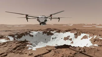
ice deposits is crucial for two reasons. Firstly, it would be a game-changer for future human missions, as it could be processed into drinking water, breathable air, and even rocket fuel. Secondly, where there was once water, there might have been life. Buried ice could preserve signs of ancient microbial activity, protected from the harsh radiation that scours the Martian surface. Orbiters have detected what appear to be massive ice sheets deep underground, but to find accessible, shallow ice, we need a new approach.
Seeing with Radar Waves
This is where ground-penetrating radar, or GPR, comes in. Think of it as a form of geological ultrasound. A GPR instrument sends radio waves into the ground. These waves travel downward until they hit a boundary between different materials—for example, where loose soil meets solid rock, or where dry dust gives way to ice. At that boundary, some of the radar energy reflects back to the surface, where a receiver picks it up. By measuring the time it takes for the signal to return and its strength, scientists can build a picture, or radargram, of the subsurface layers. GPR is already used on Mars by the Perseverance rover's RIMFAX instrument, but a rover is slow and limited by terrain. To get the big picture, you need to get airborne.
Introducing the Skyfall Concept
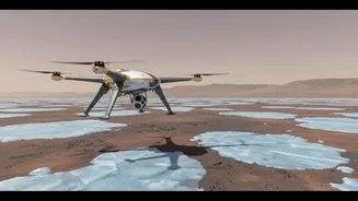
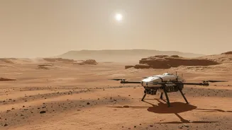
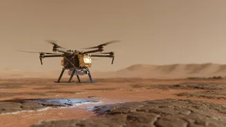
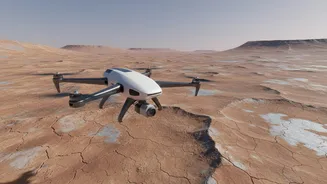
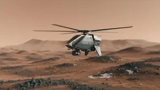
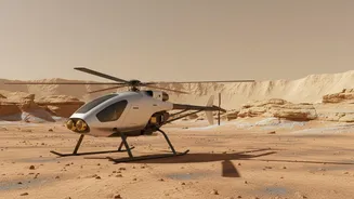
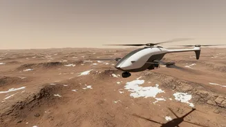
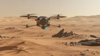
Building on the phenomenal success of the Ingenuity helicopter, which proved powered flight was possible on Mars, NASA is developing a next-generation aerial explorer concept. Known as Skyfall, the proposed mission would deploy a trio or even a swarm of advanced, autonomous helicopters. Developed in partnership with AeroVironment, these rotorcraft would be far more capable than their predecessor, designed not just to scout but to perform complex science. One of their key instruments is a lightweight, flexible GPR antenna designed to hang beneath the helicopter, giving it an unobstructed view of the ground below as it flies.
A 'Cape' for Subsurface Science
The GPR antenna for the Skyfall helicopters is a marvel of engineering. To be effective, the antenna needs to be a certain size, but it also needs to be light and durable enough to survive repeated landings on rocky terrain. The solution from NASA's Jet Propulsion Laboratory is a flexible, fabric-like antenna that has been nicknamed a "cape." This innovative design allows the antenna to be long enough to function but also able to bend and flex upon landing without breaking. As the helicopter flies low and slow over the Martian landscape, this cape will emit radar pulses and capture the returning echoes. This aerial approach allows the helicopters to cover vast distances quickly, mapping the subsurface in detail and accessing rugged areas that a rover could never reach.
How Scientists Will 'Read' the Data
The raw data sent back from a GPR instrument isn’t a simple photograph of the underground. It’s a complex series of wavy lines on a radargram that scientists must interpret. So, how do they 'read' it? They look for changes in the pattern. A flat, continuous line might indicate a uniform layer of soil. A sudden break or a jumble of signals could point to a buried crater or a field of boulders. The key signature they will be hunting for is a strong, bright reflection at a shallow depth. In Mars’s cold, dry conditions, such a reflection is a tell-tale sign of water ice, which reflects radar waves very differently than rock and dust. By flying a grid pattern over a promising area, the Skyfall helicopters could map the precise depth and extent of an ice deposit, turning abstract data points into a 3D map of a vital resource.