


A Tectonic Collision Zone
Japan's landscape, from its volcanic mountains to its deep-sea trenches, is a direct result of its precarious position. The nation is situated at the junction of four massive tectonic plates: the Pacific, Philippine Sea, Eurasian, and North American plates.
These colossal slabs of the Earth's crust are in constant, slow-motion collision. The denser oceanic plates, the Pacific and Philippine Sea plates, are sliding beneath the lighter continental plates that Japan sits on. This process, known as subduction, is not smooth. The plates lock together, building up immense stress over decades. When that stress is suddenly released, the result is a powerful earthquake. This complex and violent geological setting is responsible for Japan experiencing around 1,500 earthquakes each year.
From Geology to Building Blueprints
Understanding this geology is the first step in mitigating its effects. Japan’s building codes, among the strictest in the world, are a direct response to the specific threats posed by its plate boundaries. After devastating earthquakes throughout its history, such as the 1923 Great Kanto Earthquake and the 1995 Kobe earthquake, regulations were repeatedly rewritten based on hard-won lessons. Modern seismic design is not just about making buildings rigid; it's about making them resilient. Techniques like base isolation involve constructing buildings on thick rubber pads that absorb and dampen the ground's shaking, effectively separating the structure from the moving earth. Other designs, like the iconic Tokyo Skytree, use a central reinforced concrete column connected to the outer steel frame with oil dampers. This allows the core and the frame to sway at different frequencies, converting the earthquake's kinetic energy into heat and preventing the structure from shaking apart.
The Science of a Few Seconds' Warning
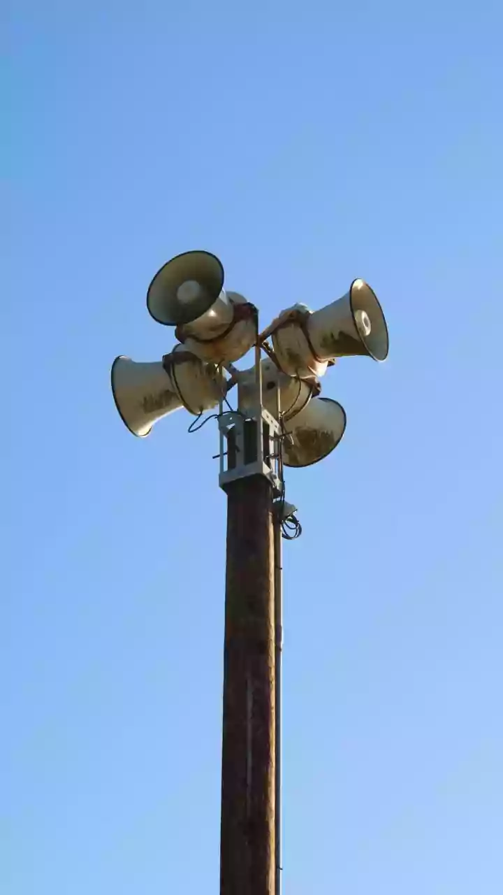
Beyond structural engineering, knowledge of plate tectonics powers one of Japan's most critical life-saving tools: the Earthquake Early Warning (EEW) system. This system relies on the fact that an earthquake releases two main types of seismic waves. The first are P-waves (Primary waves), which travel fastest but cause little damage. They are followed by the slower, more destructive S-waves (Secondary waves) that are responsible for the violent shaking. A dense network of over a thousand seismometers across Japan detects the initial P-waves. In seconds, computers at the Japan Meteorological Agency calculate the earthquake's epicenter and magnitude, and broadcast an alert before the damaging S-waves arrive. This warning, often just seconds but sometimes up to a minute, is sent via television, radio, and mobile phones, giving people a crucial window to take cover, slow down trains, and halt factory equipment.
A Culture of Preparedness
The constant threat of earthquakes, rooted in the country's geology, has embedded preparedness deep within Japanese culture. It is not just a government mandate but a shared social responsibility. From a young age, children participate in regular disaster drills, learning to shelter under desks and practicing evacuation routes. Public education campaigns ensure that citizens understand the alerts and know how to react. This awareness extends from individual households to the national level, creating a society that does not just live in fear of the next tremor but actively prepares for it. The understanding that the ground beneath their feet is unstable has fostered a collective mindset focused on resilience, innovation, and mutual protection, making disaster preparedness an integral part of daily life.