

Our Powerful Eyes in the Sky
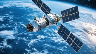
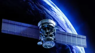
Satellites are undeniably a game-changer for volcanology, especially for the hundreds of active volcanoes in remote, unmonitored locations. They use several clever techniques to keep watch. Using a method called InSAR (Interferometric Synthetic Aperture
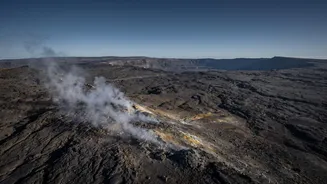
Radar), satellites can detect the ground swelling or deflating by mere millimetres — a potential sign that magma is moving beneath. They also act as celestial thermometers, spotting 'hot spots' on the Earth’s surface that could indicate magma rising. Furthermore, sensors can 'sniff' the atmosphere for tell-tale volcanic gases like sulphur dioxide (SO2), which often increase before an eruption. For volcanoes in isolated corners of the globe, these space-based observations are often the very first sign of reawakening.
The View is Not Always Clear
One of the most significant hurdles for satellite monitoring is surprisingly simple: weather. Many of the world’s most active volcanoes are in tropical regions, perpetually shrouded in clouds. While some radar-based methods can pierce through cloud cover, many optical and thermal sensors cannot, creating crucial blind spots. Another issue is timing. Satellites are not stationary spies; they are constantly orbiting. A satellite might pass over a specific volcano only once every few days or even less frequently. A lot can change in the hours or days between satellite passes, meaning rapid, pre-eruptive changes might be missed entirely.
Seeing the Surface, Missing the Story
The fundamental challenge is that volcanic eruptions are the dramatic final act of a story that begins deep underground. Magma chambers can be located many kilometres beneath the surface, far beyond the reach of direct observation. Satellites measure the surface effects of this underground activity—the ground swelling, the heat, the leaking gas. However, these signals can be ambiguous. Is a slight bulge in the ground a sign of an impending eruption, or just the volcano 'breathing' as part of a normal cycle? Sometimes a volcano shows many signs of unrest but never erupts. Conversely, some eruptions happen with very little warning at all. A satellite might see a change, but it can’t definitively know the pressure or volume of the magma system below, which is what truly determines if and when the system will rupture.
The Data Deluge
Even when satellites provide a constant stream of clear data, interpreting it is a monumental task. Scientists receive immense volumes of imagery that must be analysed for subtle changes. A slight temperature increase could be magma, or it could be a seasonal effect. An increase in sulphur dioxide might be from the volcano, or it could be industrial pollution from a nearby city masking the signal. Distinguishing a true warning from background noise requires sophisticated algorithms and, crucially, human expertise. No single data point is a 'smoking gun'; instead, scientists look for a combination of signals. Because every volcano is unique, what signals an eruption at one might be normal activity at another.
A Tool, Not a Crystal Ball
This is why volcanologists stress that satellites are just one tool in a much larger toolkit. The most reliable forecasts come from combining satellite data with on-the-ground monitoring. This includes networks of seismometers to detect the tiny earthquakes caused by moving rock and magma, GPS stations for continuous ground deformation measurements, and local gas sensors that can provide real-time data without being blocked by clouds. Human observation from local scientists who understand the specific personality of their volcano remains indispensable. The 1991 eruption of Mount Pinatubo was successfully forecast, saving thousands of lives, because scientists were able to deploy a suite of ground-based instruments to interpret the signs of unrest.