





Seeing the Invisible Heat
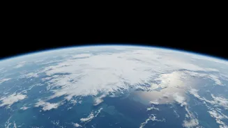
Earth maintains a delicate energy balance. It absorbs energy from the sun, primarily in the tropics, and radiates heat back into space, mostly from the cold, remote poles. For decades, a crucial part of this equation was largely unmeasured: far-infrared
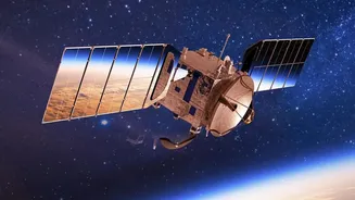
radiation. This type of energy, invisible to the human eye, accounts for nearly 60% of the heat Earth loses to space. Previous satellite missions couldn't comprehensively measure it, leaving a significant gap in climate models. This is where NASA’s PREFIRE mission comes in. PREFIRE, which stands for Polar Radiant Energy in the Far-InfraRed Experiment, uses a pair of shoebox-sized satellites (CubeSats) launched in 2024 to specifically measure this missing energy. By focusing on the Arctic and Antarctic, scientists are finally getting a detailed picture of how, when, and where the poles release heat.
A Tale of Two Poles
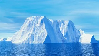
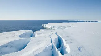
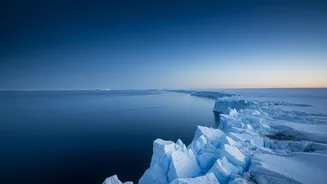
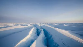
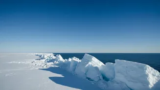
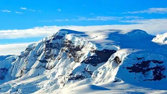
After completing two full years of observations, the PREFIRE mission has revealed stark differences in how the two poles manage heat. While their seasons run opposite each other, geography plays a massive role. The Arctic is an ocean surrounded by land, whereas the Antarctic is a continent surrounded by ocean. The new data shows that Arctic summers can lead to significant thawing of both sea ice and land-based tundra, altering how heat is radiated. In contrast, much of the massive Antarctic ice sheet remains frozen even during its mildest summer conditions. These geographical and seasonal differences create unique 'heartbeats' of outgoing energy for each pole. The PREFIRE satellites orbit in a way that allows them to measure the same spot within hours, giving researchers an unprecedented look at how quickly changing conditions—like cloud formation or ice melt—affect this energy release.
Filling a Critical Gap in Climate Models
The PREFIRE data is more than just a new set of measurements; it's a fundamental upgrade for the climate models that predict our planet's future. These models have always had to make assumptions about far-infrared energy because direct, comprehensive measurements didn't exist. Now, with real-world data, scientists can replace those assumptions with facts. The information will help them better understand the role of water vapor, clouds, snow, and ice in trapping or releasing heat. For example, the mission has already shown that different types of ice can vary in how much radiation they emit by as much as 5%. Accurately modeling these processes is critical for improving projections about the rate of ice melt, sea-level rise, and shifts in global weather patterns.
Why This Matters for Everyone
What happens at the poles doesn't stay at the poles. The transport of heat from the tropics to the poles is a primary driver of our global weather and ocean currents. An imbalance in this system, where the poles trap more heat than they release, has worldwide consequences. It can influence the stability of ice sheets, which directly impacts sea levels in coastal communities globally. It can also affect weather patterns far from the poles, potentially altering agricultural conditions, the flow of rivers, and even the viability of shipping routes. The refined models, powered by PREFIRE's data, will provide more reliable forecasts, helping communities and governments better prepare for the impacts of a warming world. The mission has been so successful that it has been extended through September 2026 and will expand its focus from the poles to the entire globe.