



A Nation on the Tectonic Edge
Japan’s vulnerability is fundamentally tied to its location. The island nation sits at the convergence of four major tectonic plates: the Pacific, Philippine Sea, North American, and Eurasian plates. This active intersection is part of the Pacific "Ring
of Fire," a zone responsible for about 90% of the world's earthquakes. The oceanic Pacific plate is sliding beneath northern Japan, a process called subduction. This movement happens along the Japan Trench, an incredibly deep feature off the country's northeastern coast. The constant friction and pressure buildup as these massive rock slabs grind against each other make powerful earthquakes an inevitable part of life in Japan.
The Undersea Jolt That Lifts the Ocean
Not all earthquakes create tsunamis. The key is vertical movement. The earthquakes that pose the greatest tsunami risk are known as megathrust earthquakes, which occur in subduction zones like the Japan Trench. For decades or even centuries, the edges of the converging plates can become locked together. While the deeper parts of the plates continue to move, the locked section builds up immense stress, causing the overriding continental plate (the one Japan sits on) to bulge upwards. When the stress finally overcomes the friction, the leading edge of the overriding plate snaps back, violently lurching upward and seaward. This sudden movement acts like a colossal paddle, lifting the entire column of water above it. It is this abrupt vertical displacement of the seafloor that generates the initial tsunami wave.
From a Deep-Sea Ripple to a Coastal Monster
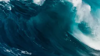
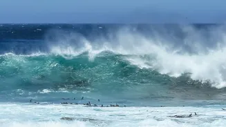
Once the ocean surface is lifted, gravity takes over. The massive mound of water collapses and begins to spread outwards as a series of waves. In the deep ocean, a tsunami is barely noticeable. It might be less than a metre high, but its waves are incredibly long (often hundreds of kilometres) and travel at the speed of a jetliner, up to 800 kilometres per hour. As this fast-moving wave approaches the shallower waters of the coast, the physics change dramatically. The wave's speed decreases due to friction with the rising seabed. However, the energy within the wave has to go somewhere. This causes the water to pile up, rapidly increasing the wave's height, or amplitude. A wave that was unnoticeable in the deep ocean can quickly grow into a towering wall of water as it barrels towards the shore.
When Coastline Shape Becomes a Trap
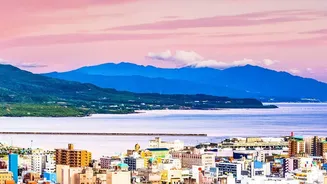
The final, devastating piece of the puzzle is Japan's own topography. The country's coastline is complex and rugged, full of bays, inlets, and harbours. While this creates scenic beauty, it can be deadly during a tsunami. As the tsunami waves enter these V-shaped bays and narrow inlets, the energy gets funnelled and concentrated, further amplifying the wave height and its destructive power. This funnelling effect means that even a moderately sized tsunami can cause extreme flooding and destruction in specific coastal areas. This geographic reality is why some towns can be almost completely wiped out while others nearby experience much less severe impacts.
A Race Against a Fast-Moving Threat
Given these unchangeable geological realities, Japan has invested in creating one of the world's most advanced tsunami warning systems. The Japan Meteorological Agency (JMA) operates a dense network of over a thousand seismographs. When an offshore earthquake occurs, the system can issue an initial alert within seconds and a more detailed tsunami warning within about three minutes. These warnings are broadcast across every available channel—television, radio, mobile networks, and community siren systems—to give residents crucial minutes to evacuate to higher ground. This system, combined with regular public drills and marked evacuation routes, is a critical defence mechanism in a constant battle against the power of the earth itself.