


A River's Unstoppable Force Meets an Immovable Object
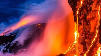
Rivers are powerful sculptors of the land, but a volcanic eruption can rewrite the map in a matter of hours. There are two primary ways this happens. The first is through lava flows, which act as natural, superheated dams. When molten rock pours into
a river valley, it can solidify and create a blockage, sometimes hundreds of feet high. Geologists have found evidence that ancient lava flows dammed the Colorado River in the Grand Canyon more than a dozen times, creating immense lakes behind them. The second threat is volcanic ash. A massive ashfall can choke a river channel, mixing with water to create a thick, concrete-like slurry known as a lahar. These lahars can sweep downstream, burying entire communities and dramatically altering the river's course.
The View from Above
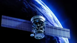
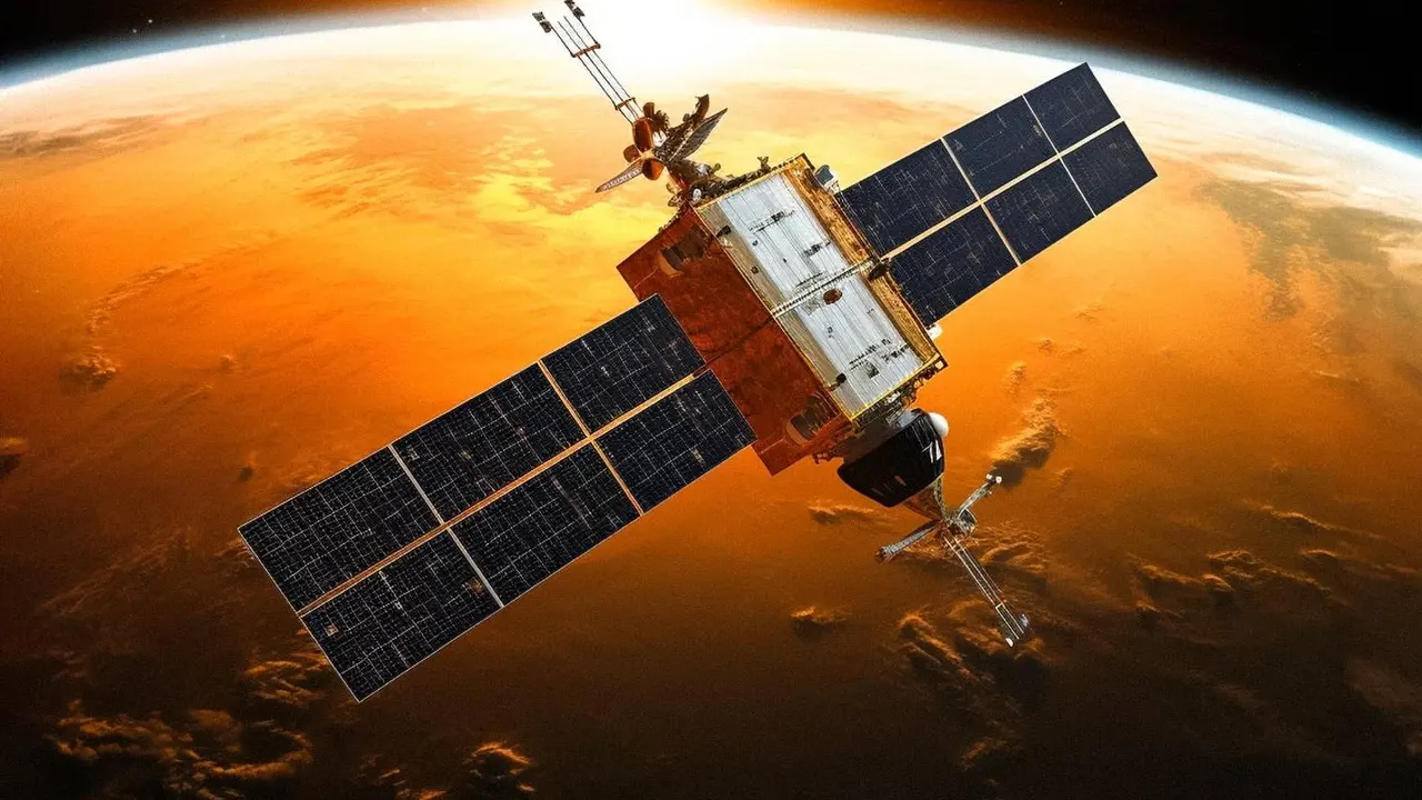
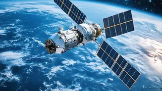
Monitoring these changes on the ground is often impossible during an eruption due to extreme heat, toxic gases, and unpredictable hazards. This is where satellite remote sensing becomes an essential tool for scientists and disaster management agencies. Satellites provide a continuous, bird's-eye view of vast and inaccessible areas, allowing experts to track changes in near real-time without putting anyone in harm's way. Thanks to modern computing power and rapid data delivery via the internet, information that once took weeks to process can now be analysed within hours, providing timely updates during a crisis.
A Toolkit of Satellite Technologies
Scientists use a combination of satellite technologies to get a complete picture. Optical sensors, like a powerful camera in space, capture images in visible light, allowing us to see the extent of ash deposits and new lava fields. Thermal infrared sensors detect heat, revealing active lava flows and hot spots, even before they are visible to the naked eye. Perhaps the most powerful tool is Synthetic Aperture Radar (SAR). SAR satellites actively send microwave pulses to the Earth's surface and measure the reflection. This allows them to 'see' through clouds, darkness, and ash plumes, which often obscure the view of optical satellites. By comparing SAR images taken before and after a change, scientists can map the new topography with incredible precision, identifying exactly where a river has been blocked or diverted.
From Data to Disaster Response
This data is far more than just a scientific curiosity; it has life-saving applications. By understanding how a river's path has been altered, authorities can predict where new flood risks might emerge. If a lava dam is blocking a river, satellites can help monitor the growing reservoir behind it and assess the risk of a catastrophic failure. Following the 2021 Cumbre Vieja eruption in La Palma, satellite imagery was crucial for mapping the lava flows that reached the ocean and destroyed property. Similarly, during eruptions in Iceland and Chile, satellite data helped track ash plumes and fast-moving volcanic flows called pyroclastic density currents, enabling better hazard assessment. This information is used to update hazard maps, issue timely evacuation warnings to downstream communities, and plan for long-term changes to water resources and infrastructure.