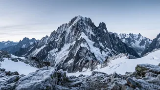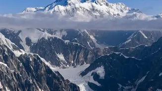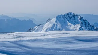






The Latest Measurement
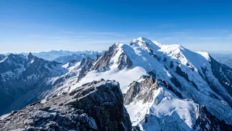
A team of expert French surveyors announced on October 14, 2026, that the summit of Mont Blanc now stands at 4,807.47 metres. This is a significant change from the measurement taken in 2023, when the peak was nearly two metres lower at 4,805.59 metres. This fluctuation
might seem dramatic, but as chief surveyor Jean des Garets explains, the 'summit is constantly shifting'. Since 2001, teams have ascended the mountain roughly every two years to gather data, creating a detailed record of its variations. This latest measurement, taken in September 2026, reverses a downward trend seen in previous years, highlighting the peak's dynamic nature.
Rock vs. Ice
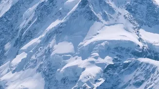
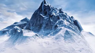
So, is the mountain itself growing and shrinking? The short answer is no. The key to this puzzle lies in understanding what constitutes the summit. Mont Blanc has a solid rock peak, which sits at a stable altitude of around 4,792 metres above sea level. What surveyors measure is the top of the thick, perennial cap of snow and ice that sits on top of this rock. This ice cap's thickness can vary by 15 to 20 metres, and it's this layer that is responsible for the fluctuating height of the official summit. Its depth is in a constant battle between winter snow accumulation and summer melt and movement.
The Power of Wind and Weather
The primary driver of the ice cap's changing height isn't just snowfall. High-altitude winds play a crucial role. At nearly 4,800 metres, fierce winds can move vast quantities of snow, scouring it from one area and depositing it in another, effectively reshaping the summit. The height of the snow and ice depends on a delicate balance of precipitation, wind, and temperature from year to year. Surveyors note that the height has oscillated for decades. For instance, the summit measured a high of 4,810.90 metres in 2007 before beginning a gradual decline that bottomed out in 2023. The 2026 measurement brings it closer to altitudes recorded at the end of the 19th century.
The Art of the Ascent
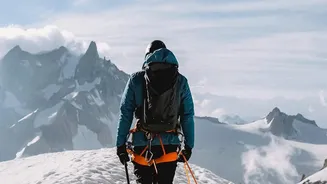
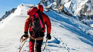
Determining the peak's height is a monumental effort. A team of around twenty surveyors and mountain guides makes the ascent, carrying sensitive equipment in extreme conditions. Using high-precision Global Navigation Satellite System (GNSS) instruments, they take measurements for hours to ensure centimetre-level accuracy. In recent years, technology like drones and ground-penetrating radar has been added to the toolkit. This allows the team to not only measure the highest point but also to create a detailed three-dimensional model of the entire ice cap and understand its volume.
A Barometer for Climate?
It’s tempting to link a lower summit to a warming planet, but surveyors and glaciologists are cautious. They stress that short-term fluctuations are more indicative of weather patterns, like the amount of summer precipitation, than long-term climate change. However, the data collected every two years is building an invaluable long-term record. Scientists will analyze this database over many decades to understand the true impact of climate change on the high Alps. While a single measurement isn't a definitive verdict, the ongoing project provides a crucial baseline for future generations of scientists studying our changing planet.