







Visualising an Impossible Scale
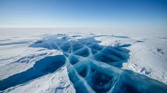
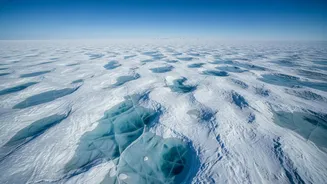
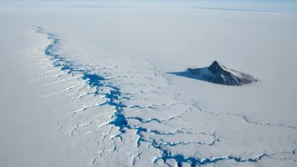
To say Greenland's ice sheet is massive is an understatement. At its thickest point, the ice plunges to depths of over 3,000 metres. Imagine stacking more than 40 Qutub Minars on top of each other, and you’d be close to its maximum thickness. It covers
about 1.7 million square kilometres, which is roughly 80% of the island itself and equivalent to about three times the size of Texas. This single body of ice is the second largest in the world, surpassed only by Antarctica, and holds about 10% of the world's fresh water. The sheer weight of this ice is so immense that it has pushed the bedrock in the centre of the island down below sea level.
An Archive of Earth's History
This colossal ice sheet is not a recent phenomenon. It began to form in earnest around 2.7 million years ago, as global temperatures cooled and allowed annual snowfall to accumulate year after year. Over countless millennia, the weight of new snow compressed the older layers beneath, transforming them from fluffy flakes into dense, solid glacial ice. The deepest layers of this ice are effectively a time capsule, with some ice cores revealing details of Earth's climate from a million years ago. Scientists study trapped air bubbles and atmospheric particles within these cores to understand past climates and environmental conditions.
The Land Hidden Beneath
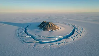
For years, the landscape buried beneath the ice was a complete mystery. Modern ice-penetrating radar has peeled back the layers to reveal a world of its own. Far from being a flat plain, the bedrock of Greenland features rugged mountain ranges and more than 60 subglacial lakes. Perhaps the most stunning discovery is a massive canyon, longer than America's Grand Canyon, stretching for 750 kilometres across the island, completely hidden from view. This feature was likely carved by ancient rivers long before the ice sheet grew to its current proportions. Researchers have even found what appear to be two massive meteor impact craters buried miles under the ice.
A Giant's Impact on Global Sea Levels
The incredible thickness and area of the Greenland ice sheet mean it holds a staggering amount of water. Scientists estimate that if the entire 2.9 million cubic kilometres of ice were to melt, global sea levels would rise by approximately 7.4 metres, or about 24 feet. This would be catastrophic for coastal communities around the world, including major Indian cities like Mumbai, Kolkata, and Chennai. A rise of this magnitude would permanently inundate vast areas of heavily populated coastline. Even partial melting has significant consequences; the ice sheet is already the second largest contributor to sea-level rise, after the thermal expansion of warming oceans.
A Warming World's Greatest Concern
For most of its recent history, the ice sheet maintained a state of relative balance, with winter snowfall replenishing the ice lost to summer melting and calving icebergs. However, that balance has been broken. Since the 1990s, the rate of ice loss has accelerated dramatically. Data from NASA shows Greenland has been losing an average of 266 billion metric tons of ice per year since 2002. This accelerated melting is a direct consequence of rising global temperatures. The ice sheet is now losing mass at the fastest rate in at least 12,000 years, a clear and worrying indicator of our planet's changing climate.