






First, What Is NavIC?
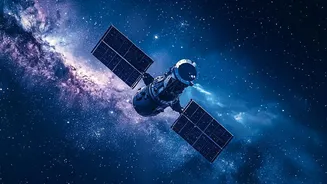
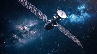
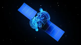
NavIC, which stands for Navigation with Indian Constellation, is India’s indigenous regional navigation satellite system, developed by the Indian Space Research Organisation (ISRO). Think of it as India's answer to the American GPS. It is designed to provide
accurate real-time positioning, navigation, and timing (PNT) services over India and a surrounding area extending up to 1,500 kilometers from its borders. The system was conceived to end India's dependence on foreign-controlled systems like GPS, which can be degraded or denied during times of conflict—a vulnerability India reportedly faced during the 1999 Kargil War. NavIC offers two main services: a Standard Positioning Service (SPS) for all civilian users and an encrypted Restricted Service (RS) for strategic use by military and authorised agencies.
The Challenge: Why a New Satellite?
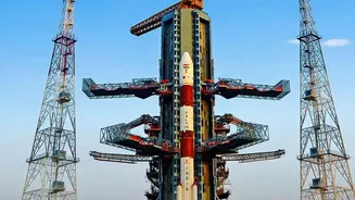
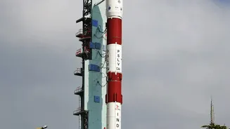
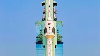
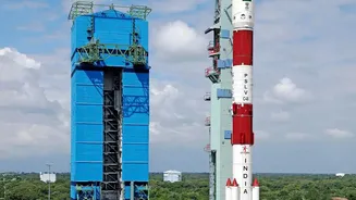
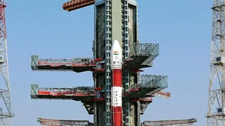
The original NavIC constellation of seven satellites faced significant hurdles. A core component of any navigation satellite is its atomic clock, which measures time with incredible precision to help calculate a user's position. Several of the imported rubidium atomic clocks on the first-generation satellites failed over the years, degrading the constellation's ability to provide independent positioning services. By early 2026, the number of fully functional navigation satellites had dropped to three, one short of the minimum of four required to accurately determine a three-dimensional position. This meant that NavIC's standalone positioning service was effectively inactive. The NVS series of satellites, starting with NVS-01 and followed by NVS-03, are designed to replace the aging satellites and restore full functionality to the system.
The Aatmanirbhar Upgrade: An Indian Atomic Clock
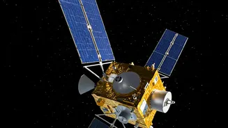
One of the most significant upgrades in the second-generation NavIC satellites, including NVS-03, is the inclusion of an indigenous rubidium atomic clock. Developed by ISRO's Space Applications Centre in Ahmedabad, this home-grown clock is designed to be more reliable and stable, addressing the failures that plagued the earlier imported versions. An atomic clock works by sending a time-stamped signal; a receiver on the ground calculates its distance based on how long that signal took to arrive. Even a tiny error of a billionth of a second can throw off a position by several metres. Having a dependable, Indian-made clock is a major leap towards Aatmanirbhar Bharat (self-reliant India) in a critical space technology, reducing foreign dependency and ensuring the long-term health of the NavIC constellation.
Speaking a Universal Language: The L1 Band
Another game-changing feature of the NVS satellites is the addition of the L1 frequency band. The original NavIC satellites broadcasted signals in the L5 and S bands. While effective, this limited their direct compatibility with the majority of commercial devices. The L1 band, however, is the most widely used frequency for civilian navigation globally, used by systems like GPS. Its inclusion means that everyday devices like smartphones, wearables, and personal trackers can receive NavIC signals without needing special, more expensive chips. This move dramatically increases NavIC's interoperability and paves the way for its mass-market adoption, allowing it to seamlessly integrate with other navigation systems in consumer gadgets.
Real-World Resilience and Strategic Importance
A resilient PNT service is the backbone of a modern economy and a secure nation. For civilians, a fully functional NavIC means more accurate mapping, especially in dense urban areas, and reliable location services that are under Indian control. For commercial sectors, it supports applications in transportation, logistics, and disaster management, providing early warnings for cyclones and assisting in rescue operations. Strategically, the importance is immense. An independent navigation system ensures that India's armed forces have secure, encrypted signals for guiding missiles, troop movements, and naval operations without fear of access being denied by a foreign power. The NVS-03 mission is a crucial step to restore this capability, ensuring India has absolute control over its critical navigation infrastructure during peacetime and conflict.