







A Disaster Without Warning
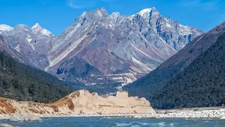
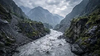
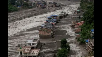
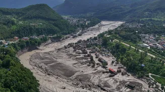
On the morning of August 26, 2026, a terrifying wall of water, mud, and debris surged down river valleys along the Nepal-China border, obliterating everything in its path. Homes, bridges, and roads were swept away as rivers like the Trishuli swelled by
as much as nine metres in just thirty minutes. Hundreds were killed and many more, including foreign trekkers and pilgrims, were reported missing. In the immediate aftermath, the cause seemed clear: the United States Geological Survey (USGS) had reported a magnitude 4.4 earthquake in the remote, mountainous region just before the flood began, leading authorities to assume it had triggered a landslide.
The Earth Tells a Different Story
As rescue efforts were underway, seismologists were taking a closer look at the data. An earthquake releases energy in a very specific way, sending out sharp, distinct seismic waves from a fault line deep underground. However, the signals recorded from the Nepal event looked different. The USGS revised its initial assessment after analyzing long-period seismic waves, which are better at picking up large, slow-moving surface events. Their conclusion was startling: the seismic energy was not generated by a tectonic earthquake but by something happening on the surface. The earth was telling a different, more complex story.
From Quake to Glacial Collapse
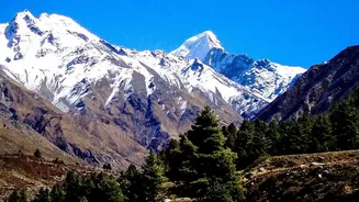
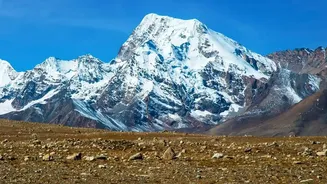
The seismic signal was, in fact, the signature of a colossal glacial collapse. Satellite imagery confirmed that a huge chunk of a glacier, estimated to be about 0.2 square kilometres, had broken off at an altitude of 5,200 metres. It then fell roughly 1,200 metres, crashing onto the valley floor below. The force of this impact was immense, generating seismic waves equivalent to a magnitude 5.2 event—significantly more powerful than the initially reported quake. It was this gargantuan avalanche of ice and rock, not the shaking of the earth, that set the disaster in motion. The ground shook because of the collapse, not the other way around.
A Deadly Chain Reaction
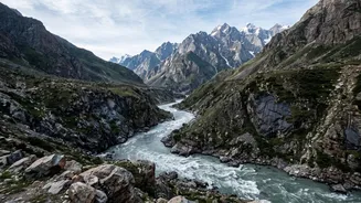
Understanding the true trigger was critical to explaining the flood's terrifying speed and power. The glacial collapse initiated a deadly cascade of events. The falling ice and rock created a massive debris flow that temporarily dammed the Lhende River. When this natural dam inevitably burst, it released an enormous volume of water downstream, creating the inland tsunami that devastated communities in both Tibet's Gyirong County and Nepal's Rasuwa and Nuwakot districts. This sequence—a collapse leading to a landslide, a dam, and an outburst flood—explains how the disaster could strike with so little warning, especially since there had been no extreme rainfall beforehand.
A Frightening Pattern in the Himalayas
This event is not an isolated incident but part of a frightening trend in the world's highest mountains. Scientists point to the 2021 disaster in Chamoli, India, which was also caused by a rock and ice avalanche that was initially mistaken for something else. As global temperatures rise, Himalayan glaciers are melting at an accelerated rate, destabilizing the surrounding rock and permafrost and increasing the frequency of such hazards. While these events are difficult to predict, the ability to correctly interpret their seismic signatures is a major step forward. It allows scientists to differentiate between geologic and climate-driven hazards, a crucial distinction for assessing future risks in the region.