

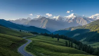
A New Chapter for Himalayan Exploration
For years, the path to Mago was a formidable one, reserved for the most determined explorers and local communities. Today, thanks to infrastructure improvements by the Border Roads Organisation (BRO), this remote corner of the Himalayas is opening up.
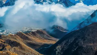
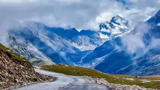
The route, which navigates through some of Arunachal’s most dramatic scenery, is now more accessible, offering a rare glimpse into a world of untouched beauty. The drive, which can take between seven to nine hours, is a transformative experience, showcasing everything from misty river valleys to snow-dusted peaks. This improved connectivity not only boosts tourism but also serves a strategic purpose, enhancing mobility in this sensitive border region.
The Journey Begins in Dirang
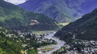
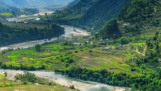
The adventure starts in the serene Dirang valley, a town nestled along the banks of the Dirang Chu river. Known for its Monpa settlements, ancient monasteries like Khastung Gompa, and soothing hot springs, Dirang serves as the perfect acclimatisation point. Travellers often pause here, soaking in the calm atmosphere before ascending towards the higher reaches. The town itself is a mosaic of old and new, where traditional stone houses coexist with modern structures, and the surrounding kiwi and apple orchards paint a picturesque landscape.
Conquering the Legendary Sela Pass
From Dirang, the road climbs steadily towards the formidable Sela Pass, situated at an altitude of over 13,000 feet. This stretch of the journey is legendary among road-trippers. However, the game-changer here is the Sela Tunnel. Inaugurated in March 2024, this engineering marvel bypasses the treacherous, snow-prone top of the pass, ensuring all-weather connectivity to Tawang and beyond. The tunnel reduces travel time by over an hour and makes the journey significantly safer, especially in winter. As you emerge from the tunnel, you're greeted by a high-altitude landscape dotted with sacred, crystal-clear lakes that perfectly mirror the surrounding peaks.
Into the Wild: Jung and Mago
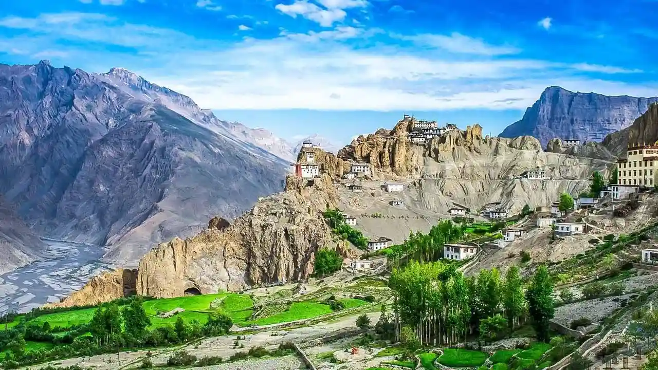
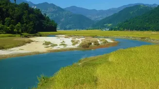
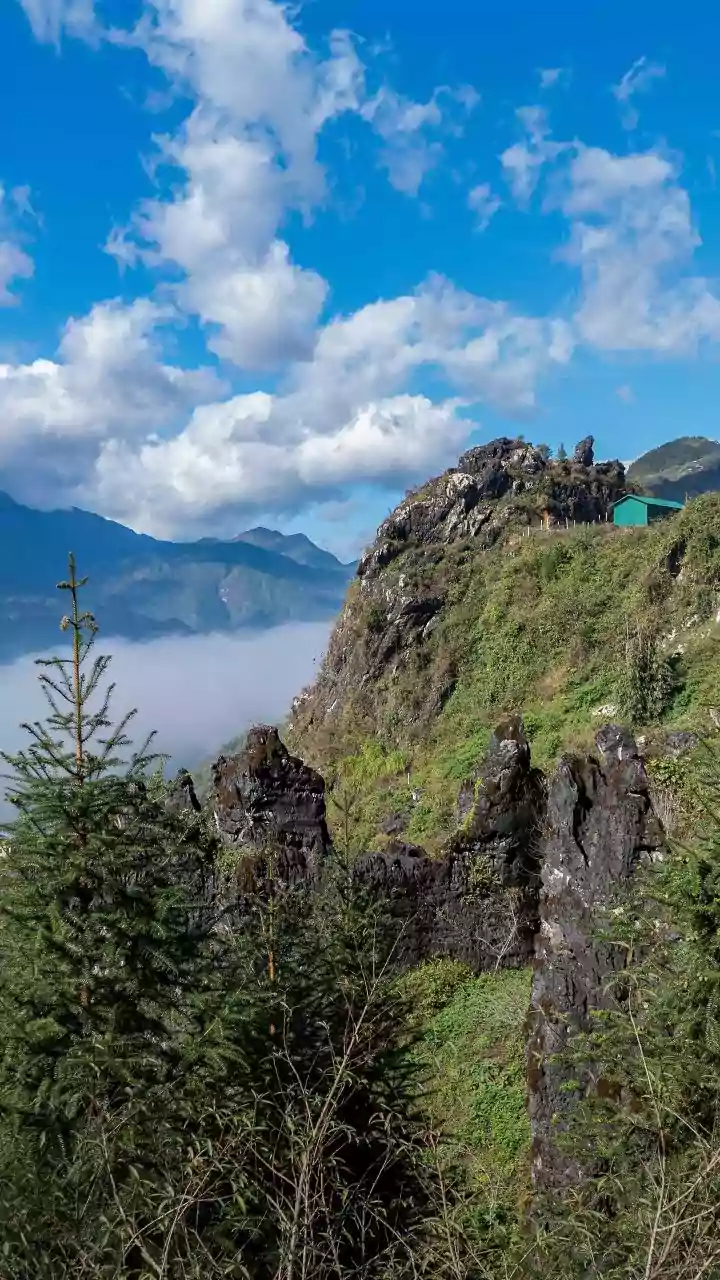
After crossing the Sela region, the route descends towards Jung, home to one of Arunachal’s most spectacular sights: the towering Jung Waterfall. From there, the final leg of the journey to Mago begins. This is where the landscape feels its wildest. The road narrows, winding alongside a fast-flowing river through dense pine forests. Mago itself is a small, remote village inhabited by about 75 households of the Monpa community, whose primary livelihood is yak herding. Located at an altitude of 3,520 metres, the village sits at the confluence of three rivers, giving it a unique, elemental charm. It’s a place that feels disconnected from the modern world, offering silence, raw nature, and a deep sense of peace.
Beyond Mago: Hot Springs and Hidden Lakes
The journey doesn't have to end at Mago. The area is famous for its natural hot springs, believed to have therapeutic properties, which are now more accessible than ever. For the truly adventurous, the path continues towards the even more remote Gongkar La Lake, a sacred high-altitude waterbody that few travellers get to see. What makes this lake special is that, unlike many Himalayan lakes that require strenuous treks, it can be reached by vehicle, opening it up to a wider range of visitors. The region’s pristine ecosystem is also a habitat for rare wildlife, including the elusive red panda.
Planning Your Trip: Permits and Practicalities
A trip to this part of Arunachal Pradesh requires some planning. Indian citizens need an Inner Line Permit (ILP), which can be applied for online. Foreign nationals require a Protected Area Permit (PAP), which must be arranged through a registered tour operator. It's crucial to carry physical copies of your permits and a government-issued ID, as they will be checked at multiple army and police checkpoints along the way. The route is best explored in a sturdy vehicle, and while the roads have improved, it's always wise to check conditions before you travel, especially during the monsoon season.