



A New Eye in the Sky
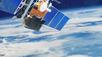
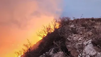
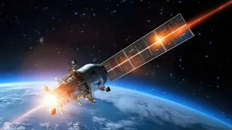
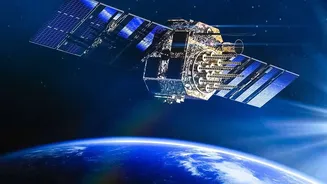
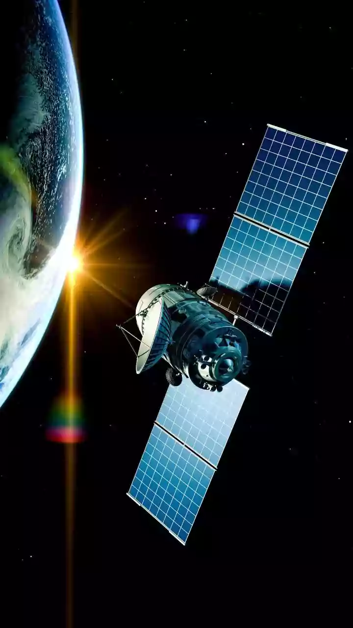
FireSat is a planned constellation of approximately 50 satellites designed specifically to detect and monitor wildfires. Unlike existing weather or multi-purpose satellites that spot fires as part of other duties, FireSat is purpose-built for this one
critical mission. The project is a major collaborative effort, bringing together the nonprofit Earth Fire Alliance (EFA), satellite manufacturer Muon Space, and technology partners like Google. The mission’s goal is to shift wildfire management from a reactive fight against raging infernos to a proactive response that extinguishes small fires before they can grow into catastrophic events. The first prototype satellite, called FireSat0 or Protoflight, launched in March 2025 to test the system. Three more operational satellites followed in July 2026, marking the beginning of the constellation's initial operational capability.
The 20-Minute Advantage
The ultimate promise of FireSat is its speed. When the full constellation of about 50 satellites is operational, it will be able to scan nearly the entire Earth's surface with a revisit time of just 20 minutes. This is a monumental leap forward from current systems. Existing satellite networks, such as those from NASA and NOAA, provide invaluable data but were not designed for rapid fire detection. Their revisit times can be several hours or longer, and the data can take hours to process and reach fire managers on the ground. In that time, a small, manageable ignition can explode into a major blaze. By drastically shortening the time between scans, FireSat aims to provide an early warning system that allows for faster, more effective deployment of resources when a fire is at its smallest and most vulnerable stage.
Seeing Through the Smoke
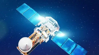
FireSat's power lies in its advanced sensor technology. Each satellite is equipped with a 6-channel multispectral infrared radiometer designed and built by Muon Space. This instrument can detect the heat signature of a fire as small as 5x5 meters—roughly the size of a shipping container—under good conditions. The sensors operate across multiple infrared bands, allowing them to not only spot a fire but also to distinguish active flames from cooling burn scars, measure the fire's energy output (radiative power), and even peer through smoke to map a fire's true perimeter. This is a significant improvement over existing systems, which often have a much larger detection resolution (375 meters or more) and can be hampered by smoke. The prototype satellite has already proven its capability, detecting small fires in Oregon and Alaska that were invisible to other satellite systems.
From Data to Decisions
Spotting a fire from space is only half the battle. The true value of FireSat will be determined by how quickly and reliably its data can be turned into actionable intelligence for firefighters. When a satellite detects a potential fire, the data is downlinked and processed using artificial intelligence to filter out false positives, such as sun glint or industrial heat sources. The goal is to deliver a reliable alert with a false positive rate below five percent. This high-fidelity information—including the fire's precise location, size, and intensity—is then sent to fire agencies. This allows incident commanders to make faster, more informed decisions about where to send crews and equipment, plan evacuations, and ensure the safety of frontline responders.
The Road to Full Capability
While the first operational satellites are now in orbit, achieving the 20-minute global scan is still several years away. The project is being rolled out in phases. The current phase, with four satellites in orbit (one prototype and three operational), is considered the 'Initial Operational Capability'. By the end of 2026, early adopters in fire-prone regions are expected to receive data at least twice a day. The 'Constellation Buildout' phase will take place from 2027 to 2029, with the launch of more satellites to bring the global revisit rate down to one hour. Full Operational Capability, with the complete 50-satellite constellation and 20-minute updates, is projected for 2030 and beyond. This phased approach allows the team to refine the system and demonstrate its value to fire agencies around the world as the network grows.