


A New Eye on a Frozen World
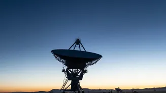
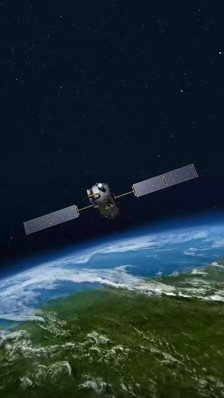
The NISAR (NASA-ISRO Synthetic Aperture Radar) mission is a landmark collaboration between the Indian Space Research Organisation (ISRO) and the U.S. National Aeronautics and Space Administration (NASA). Launched in 2025, this advanced satellite is equipped
with dual-frequency radar systems (L-band and S-band) that allow it to see through clouds, darkness, and even snow cover. Its mission is to scan nearly all of Earth's land and ice surfaces every 12 days, tracking changes with unprecedented precision. For India, the mission represents a significant step in global scientific leadership, with ISRO developing the S-band radar and the launch system. The data, now publicly available, is crucial for monitoring everything from agricultural trends and natural disasters to the health of our planet's vast, frozen regions.
The Lonely Mountain in the Ice
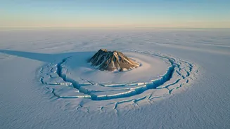
The focus of NISAR's recent mapping is a feature known as a nunatak—a word from the Greenlandic language meaning "lonely peak". A nunatak is a mountain summit or rocky ridge that protrudes through a surrounding glacier or ice sheet, like an island in a sea of ice. The specific peak observed by NISAR is Nunatak Zaterjavshijsja in East Antarctica. These rocky outcrops are scientifically important for several reasons. They provide clues about past ice thickness, influence the flow of the glacier around them, and can even act as refuges for life in otherwise barren, icy landscapes. In this case, the nunatak acts as a massive obstacle, forcing the river of ice to bend and stretch as it flows toward the ocean.
Mapping the Hidden Fractures
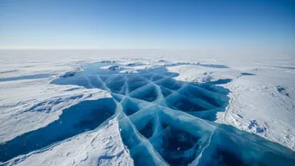
Where a normal camera sees a vast expanse of white, NISAR's radar reveals a complex drama unfolding within the ice. The latest images show a dense network of deep cracks, known as crevasses, radiating from the nunatak. These are not just superficial splits; they are significant structural fractures caused by immense stress. As the glacier flows around the immovable mountain, the ice is forced to stretch and shear, much like a piece of clay breaking when pulled too quickly. The radar data vividly illustrates these stress patterns. Smooth, intact ice surfaces appear as a magenta colour in the processed images, while the jumbled, fractured ice of the crevasses scatters the radar waves differently, showing up as sharp green lines. The resulting image has been nicknamed the 'Hummingbird' for its striking resemblance to a bird with outstretched wings.
Why These Cracks Are a Warning Sign
Crevasses are more than just a beautiful feature; they are indicators of a glacier's dynamics and instability. They signal that the ice is moving and deforming, often in response to forces from the underlying bedrock or changes in speed. Water from surface melt can pour into these cracks, potentially reaching the bottom of the glacier. This can lubricate the base, accelerating the glacier's flow towards the sea. The formation of extensive crevasses can be a precursor to a process called calving, where massive chunks of ice break off the glacier's edge, forming icebergs. This process is one of the primary ways Antarctica loses ice, and it directly contributes to rising global sea levels.
The 'Sleeping Giant' Stirs
For a long time, the East Antarctic Ice Sheet was considered the stable, 'sleeping giant' of the world's frozen water reserves, unlike its rapidly melting counterpart in the west. It is by far the largest ice sheet on the planet, holding enough ice to raise global sea levels by an astounding 52 metres if it were to melt completely. However, recent events, like the collapse of the Conger-Glenzer ice shelf in 2022, have challenged the assumption of its stability. Observations like this one from NISAR are critical because they provide evidence that parts of East Antarctica are more dynamic and potentially more vulnerable than previously thought. By mapping these cracks in detail, scientists can better understand the stresses acting on the ice and improve models that predict how the ice sheet will respond to a warming climate.