




An Avalanche of Ice and Rock
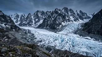
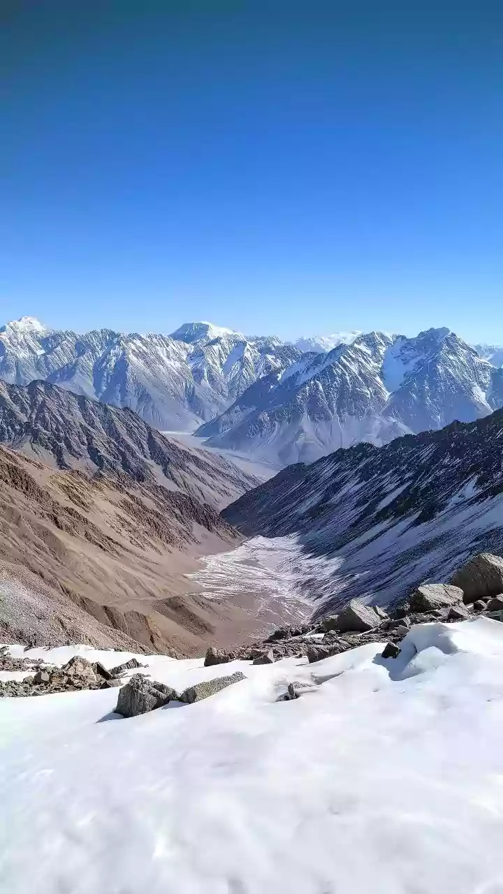
The disaster that struck northern Nepal and the Tibet border region was not a typical flood. Scientific analysis points to a massive glacial collapse as the primary trigger. On the morning of August 26, 2026, a huge portion of a glacier on Lāngtāng Lirung,
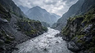
a 7,200-metre peak, broke away. The resulting avalanche of ice and rock was so powerful that it registered on seismometers as a magnitude 5.2 event. Initial reports mistakenly suggested an earthquake caused the disaster, but geologists now believe the seismic signal was generated by the sheer force of the collapse itself. This catastrophic debris flow cascaded down the mountain, travelling nearly 100 kilometers and sweeping into the Bhote Koshi and Trishuli River valleys.
Understanding the Deadly Cascade
The initial collapse set off a deadly chain reaction. The immense volume of falling ice and rock likely turned into a fast-moving torrent by incorporating river water and saturated sediment along its path. Some reports suggest the debris flow may have temporarily dammed the Lhende Khola River, causing a large lake to build up before the natural dam failed, releasing a furious surge of water downstream. This process, often part of a Glacial Lake Outburst Flood (GLOF), explains the sudden, wall-of-water characteristic of the event. The force of the flow was staggering, with water levels in some areas rising by as much as 9 meters in just 30 minutes, giving those in its path almost no time to escape.
A Known Hazard in a Warming World
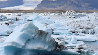
While the scale of this specific disaster is shocking, the underlying risk is well-understood by scientists. The Hindu Kush Himalaya region is warming significantly faster than the global average. This accelerated warming is causing glaciers to melt and retreat at an alarming rate, a process that has doubled since the year 2000. As glaciers shrink, they can leave behind large, unstable lakes dammed by loose rock and ice, known as moraines. These moraine dams can fail, or events like the recent ice avalanche can trigger displacement waves, leading to catastrophic GLOFs. Nepal has a long history of such events, with 26 GLOFs recorded since 1977.
The Human and Economic Toll
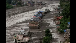
The human cost has been immense, with hundreds confirmed dead and over a thousand people reported missing across Nepal and Tibet. Entire settlements like Timure and Syaphrubesi were inundated, and critical infrastructure was destroyed. Roads, bridges, and numerous hydropower plants—vital to Nepal's economy—were washed away, severing a key commercial artery between Nepal and China. Rescue and relief operations have been hampered by the extensive damage to access routes. Among the missing are tourists from several countries, highlighting the region's importance for trekking and pilgrimage.
A Warning for the Entire Himalayan Region
Experts warn that this event is a stark illustration of how climate change is destabilising high-mountain geology. As warming exposes and thaws permafrost, the rock and ice that once held slopes together are weakening. This increases the risk of landslides and collapses. For India and other downstream nations, the disaster in Nepal is a grave reminder of shared vulnerabilities. The rivers that sustain life in the Indo-Gangetic plain originate in these same volatile mountains. The increasing frequency of GLOFs and similar events poses a direct threat to downstream communities and infrastructure, underscoring the urgent need for enhanced cross-border monitoring, early warning systems, and coordinated disaster preparedness.