




A Fire That Breathes Thunder
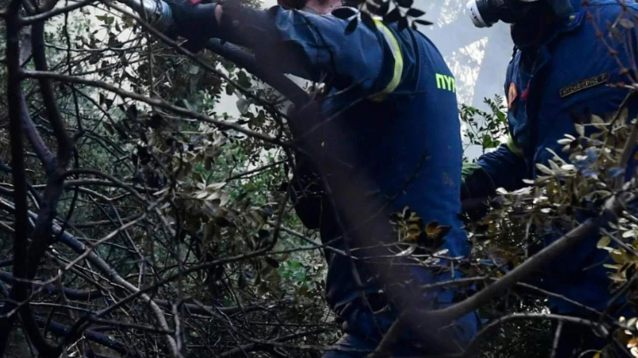
In what officials are calling a first for France, the massive wildfire near Bordeaux has become so intense that it is no longer just subject to the weather; it is creating it. Firefighters have been battling the blaze, which has forced the evacuation
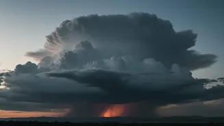
of over 220,000 people and scorched vast areas of forest. Their efforts are now complicated by a phenomenon more commonly seen in the massive bushfires of Australia or North America: a pyrocumulonimbus cloud, essentially a thunderstorm born from fire. This development has escalated the crisis to what one local official termed a “new dimension” of danger.
What Exactly Is a Fire Cloud?
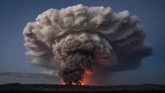
The scientific name is pyrocumulonimbus, a mouthful that can be broken down. 'Pyro' comes from the Greek for fire, while 'cumulus' and 'nimbus' are terms for puffy, rain-producing storm clouds. NASA has described them as a “fire-breathing dragon of clouds” for good reason. Imagine a normal thunderstorm, but instead of being formed by standard atmospheric processes, its engine is the immense, focused heat of a wildfire. This creates a towering, smoke-infused storm cloud that can reach kilometres into the atmosphere, often to the edge of the stratosphere.
The Science of a Firestorm
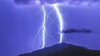
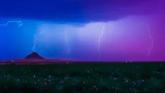
The formation begins with the incredible heat from the wildfire, which acts like a giant chimney. It sends a powerful column of superheated air, ash, smoke, and water vapour rocketing upwards. As this plume rises into the colder upper atmosphere, the low pressure causes it to cool and expand. The water vapour condenses around ash particles, forming a massive cloud. The process releases more heat, making the cloud even more buoyant and accelerating its ascent. Inside this turbulent tower, colliding ice particles and water droplets separate electrical charges, just like in a regular thunderstorm, eventually leading to powerful lightning discharges.
A Vicious and Unpredictable Cycle
The danger of a pyrocumulonimbus cloud lies in the destructive feedback loop it creates. The lightning it generates can strike the ground miles away from the main fire, igniting new blazes in unburnt areas and stretching firefighting resources to their limit. Furthermore, the cloud’s powerful updrafts and downdrafts create violent and erratic winds on the ground. These winds can change direction in an instant, causing the fire to spread unpredictably, trapping firefighters, and sending embers flying far beyond containment lines to start new spot fires. The fire feeds the storm, and the storm spreads the fire.
A Symptom of a Warming Planet
While pyrocumulonimbus clouds are a natural phenomenon, their appearance is a strong indicator of an exceptionally intense wildfire. Scientists warn that as climate change leads to hotter, drier conditions globally, we are seeing larger and more extreme wildfires capable of this behaviour. What was once a rare event documented in specific hotspots is now being recorded in new places, like France. This isn't just a European problem; it's a global one. For fire-prone regions around the world, including in India, the emergence of fire-breathing thunderstorms is a stark warning that the nature of wildfires is changing, becoming more powerful and more dangerous than ever before.