




What Created This New Threat?
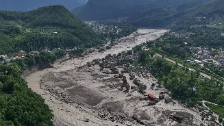
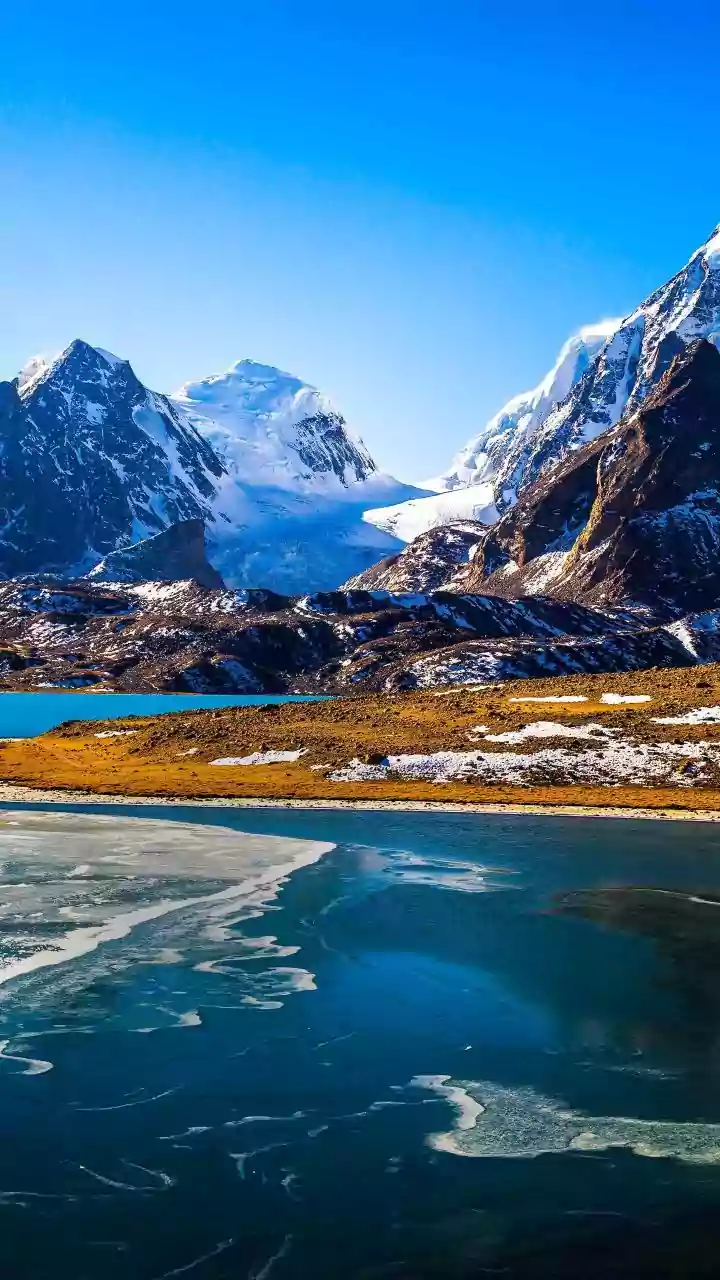
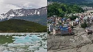
The new lake is a direct consequence of a catastrophic event on August 26, 2026. A massive section of a glacier, along with underlying bedrock, collapsed in Tibet, close to the Nepalese border. This colossal landslide, so powerful it was initially mistaken
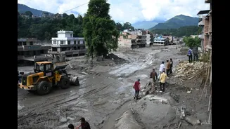
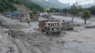
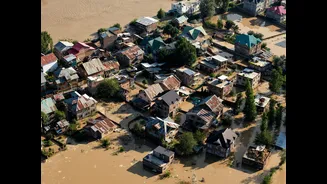
for a magnitude 5.2 earthquake, barrelled down a mountain, carrying an immense volume of rock, ice, and mud. This debris then choked the Lhende Khola, a tributary of the Bhote Koshi River, creating a natural but highly unstable dam. Behind this dam, river water began to accumulate rapidly, forming the dangerous lake that has put downstream communities on high alert. This event triggered an initial, devastating flash flood that has already caused hundreds of deaths and widespread destruction in both Nepal and Tibet.
The Science of an Outburst Flood
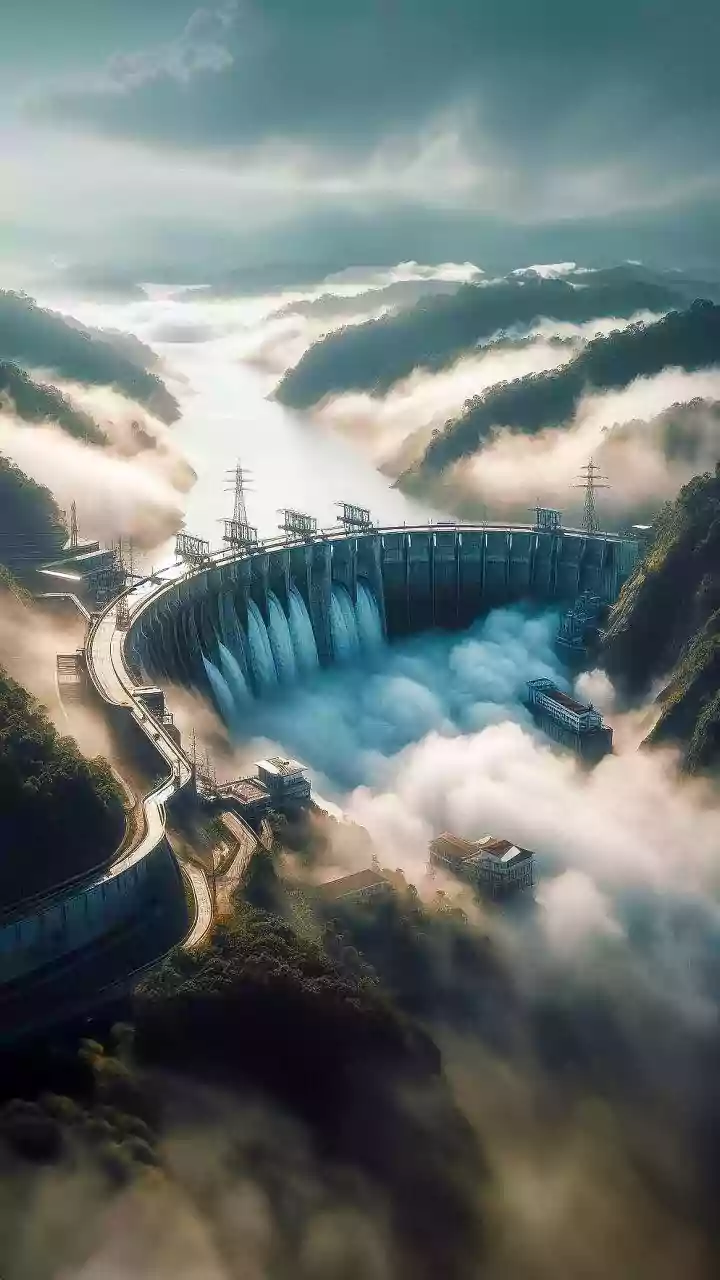
The primary fear is a Landslide Dam Outburst Flood (LDOF). Think of the landslide debris as a poorly constructed plug in a giant bathtub. As the lake behind it fills, the water pressure increases, and the dam—made of loose rock and soil—can start to erode or fail entirely. If this natural dam breaches, it would release the entire volume of the lake, millions of cubic metres of water, in a sudden, violent surge. This is not a typical flood; it's a torrent moving at incredible speed, carrying with it a slurry of mud, boulders, and debris capable of obliterating everything in its path, including buildings, roads, and critical infrastructure like hydropower plants. Experts describe it as being hit by a wall of liquid concrete, an event that is nearly impossible to outrun.
Who Is in the Danger Zone?
The immediate threat is to communities located downstream along the Bhote Koshi and Trishuli river corridors in Nepal. Districts like Rasuwa and Nuwakot are on the front line, having already suffered immense damage from the initial disaster. Authorities have issued warnings to residents in these areas, as well as those further downstream in Dhading, Gorkha, and Chitwan, to remain on high alert. The flood path threatens not only homes and villages but also a series of vital hydropower projects that are crucial to Nepal's electricity supply. The main highway connecting Kathmandu with the Chinese border, a critical artery for trade and tourism, has already been severely damaged, and a further flood would compound this economic disruption.
A Race Against Time
Nepalese and Chinese authorities are in a tense race against time, though options are limited. On-the-ground assessment of the dam's stability is incredibly dangerous due to the unstable terrain and the risk of further landslides. The primary response has been intensive monitoring. Chinese officials are using satellite imagery and are working to build digital models to simulate a potential breach and predict which areas would be flooded. Nepal's National Disaster Risk Reduction and Management Authority is receiving updates from its Chinese counterparts about the water levels. This information is used to send out mobile phone alerts to residents in harm's way, urging them to be ready to move to safer, higher ground at a moment's notice. Rescue and relief operations from the first flood have been periodically halted due to the ongoing threat, highlighting the precariousness of the situation.