

A Fire That Makes Its Own Weather
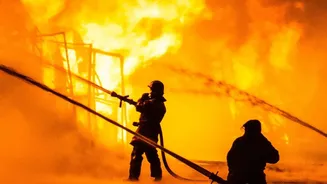
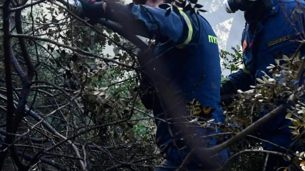
As firefighters battled a massive blaze in France's Gironde region in late July 2026, they witnessed something alarming. Towering above the smoke and flames, a monstrous cloud began to form, not from a typical weather front, but from the fire itself.
French authorities confirmed it was a pyrocumulonimbus cloud, a fire-generated thunderstorm, a phenomenon they had never officially recorded in the country before. This wasn't just a cloud; it was a sign the fire had become so powerful it was influencing the atmosphere, creating a volatile and unpredictable feedback loop.
What Is a Pyrocumulonimbus Cloud?
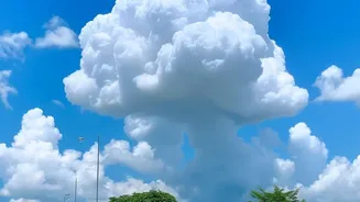
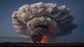
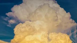
Dubbed the "fire-breathing dragon of clouds" by NASA, a pyrocumulonimbus (or pyroCb) is the most extreme form of a fire-generated cloud. Think of a regular thunderstorm, with its towering structure, powerful winds, and lightning, but powered by the intense energy of a wildfire instead of the sun heating the ground. The process begins when a massive, hot fire creates a powerful updraft, sucking air, smoke, and moisture high into the atmosphere like a giant chimney. This plume of superheated air rises, cools, and condenses, forming a cloud. If the fire is intense enough and atmospheric conditions are right, this cloud can grow into a full-blown, self-sustaining thunderstorm.
The Science of a Firestorm
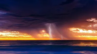
For a pyrocumulonimbus to form, several conditions must align. First, the fire must be incredibly large and hot to generate a sufficiently powerful updraft. Second, the atmosphere must be unstable, with hot, dry air near the ground and cooler, moister air above it, which encourages the plume to keep rising. As the hot air ascends, it cools, and water vapor condenses around tiny particles of ash, which act as seeds for cloud droplets. If the plume rises high enough to where temperatures are below freezing, the water droplets turn into ice crystals. The collision of these ice particles generates static electricity, just like in a normal thunderstorm, leading to lightning.
The Australian and North American Connection
The comparison to Australia is not just for dramatic effect; it’s a matter of meteorological history. Pyrocumulonimbus events are more commonly documented in places known for megafires, like Australia and parts of North America. Australia's devastating "Black Summer" bushfires in 2019-2020 produced numerous firestorms, which injected so much smoke into the stratosphere that it was compared to the effect of a moderate volcanic eruption. These regions frequently experience the combination of vast, dry forests and extreme weather conditions that fuel fires to the intensity needed to create their own weather. The appearance of such a storm in France signals to experts that wildfire behavior in Europe may be starting to mirror these more extreme patterns, largely driven by a warming climate that leaves forests exceptionally dry and combustible.
A Vicious and Dangerous Cycle
What makes these firestorms so dangerous is the treacherous feedback loop they create. They generate their own violent and erratic winds, including powerful updrafts that pull more oxygen into the blaze and downdrafts that can suddenly change the fire's direction and speed. This makes the fire's spread highly unpredictable, endangering firefighters and complicating evacuation efforts. Furthermore, the lightning they produce can strike miles away from the original fire front, igniting new blazes in unburnt territory. They can also loft burning embers over vast distances, causing spot fires to erupt far ahead of the main inferno. Rather than extinguishing the fire with rain, they often make it much, much worse.