



The Source of the Surge
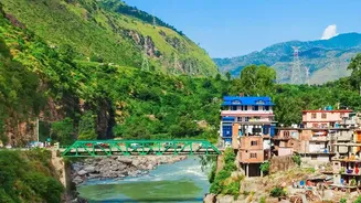
The immediate crisis was triggered by catastrophic flash floods in Nepal, particularly in the mountainous Rasuwa district, which borders Tibet. This event, suspected to be caused by a glacial-rock slide, sent an unprecedented volume of water into the Bhote
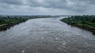
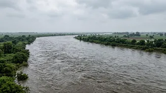
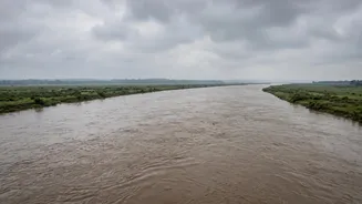
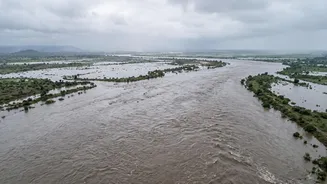
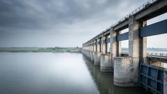
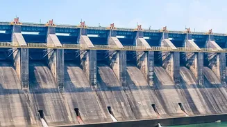
Koshi and Trishuli rivers. These rivers flow downstream and merge into the Gandak river, known as the Narayani in Nepal, a major waterway that crosses into India through Bihar. This created a powerful "flood pulse"—a distinct wave of water travelling down the river system, threatening everything in its path. As a precautionary measure, authorities at the Valmikinagar barrage on the Gandak in West Champaran, Bihar, opened all 36 of its gates to manage the massive inflow.
Bihar on High Alert
Bihar, a state historically vulnerable to flooding from Nepal's rivers, is bracing for the primary impact. The government has sounded a high alert in at least nine northern districts. The districts facing the most immediate risk lie along the Gandak and Kosi river basins, including West Champaran, East Champaran, Gopalganj, Muzaffarpur, Saran, and Vaishali. Authorities have also placed Sitamarhi, Sheohar, and other low-lying districts under intense scrutiny. The state's Chief Secretary, Pratyaya Amrit, held emergency meetings with district magistrates to coordinate a response. Evacuations have already begun in the most vulnerable riverine areas of West Champaran, with thousands of people moved to safer locations. National Disaster Response Force (NDRF) and State Disaster Response Force (SDRF) teams have been deployed to critical districts, with boats, relief shelters, and community kitchens being readied.
Uttar Pradesh Monitors the Ripple Effect
While Bihar faces the most direct threat, eastern Uttar Pradesh is also on high alert. Chief Minister Yogi Adityanath has directed the administrations of districts bordering Nepal and Bihar, particularly Maharajganj and Kushinagar, to take all necessary precautions. These districts are vulnerable to rising water levels in the Gandak and Narayani rivers, which could cause flooding in low-lying areas. The concern is that as the flood pulse moves through Bihar, its effects could spill over into adjacent UP districts that are part of the same river basin. Officials are closely monitoring embankments and river levels, coordinating with central agencies to ensure a swift response if the situation deteriorates.
A Cross-Border Challenge
This recurring crisis highlights the complex and critical nature of water management between India and Nepal. Several major Himalayan rivers, including the Kosi, Gandak, and Ghaghara, originate in Nepal before flowing into the densely populated Gangetic plains of India. To manage this shared resource and mitigate flood risks, the two countries have a long-standing mechanism for sharing hydrological and meteorological data during the monsoon season. The Central Water Commission (CWC) uses this data from stations in Nepal to formulate flood forecasts for downstream areas in India. This system provides a crucial, albeit sometimes short, window for Indian authorities to prepare for incoming floodwaters. However, the sheer speed and scale of flash floods in the Himalayas, often triggered by events like glacial lake outbursts or landslides, pose a persistent challenge to even the most robust early warning systems.